Conquering the Unemployment Line: A Mountain Biker's Paradise Near Bellingham
Conquering the Unemployment Line: A Mountain Biker's Paradise Near Bellingham
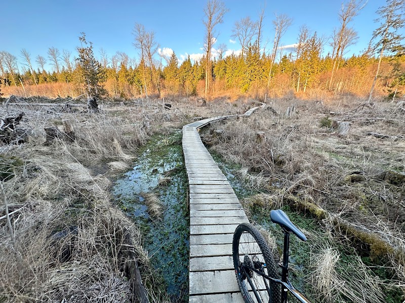
The Unemployment Line trail in Bellingham, Washington, is a favorite among mountain bikers looking for a thrilling ride through lush Pacific Northwest terrain. Spanning over 3.5 miles of singletrack, the trail offers a dynamic blend of technical features, smooth flow sections, and captivating scenery. Riders are greeted by towering evergreens, glimpses of rugged mountains, and meandering streams, creating an exhilarating backdrop for every ride. The natural challenges include roots, rocks, and tight turns that require skill and precision.
What truly sets the Unemployment Line apart is the community that surrounds it. Built and maintained by passionate local riders, this trail is part of a larger network that emphasizes sustainability and rider responsibility. It is not just a ride; it's an experience that fosters camaraderie among mountain bikers, echoing the spirit of Bellingham’s vibrant outdoor culture.
Adventure Guide to Mountain Biking Unemployment Line Trail
Key Facts & Details:
- Length: 3.5 miles
- Difficulty: Intermediate
- Elevation Gain: Approximately 600 feet
- Trail Type: Singletrack
- Location: Galbraith Mountain, Bellingham, WA
Recommendations:
- Start your ride early in the day to avoid crowds.
- Consider bringing a map; while the trail is well-marked, it's easy to get turned around in transitions.
- Wear protective gear, especially knee and elbow pads for technical sections.
Interesting Facts:
- The trail got its name due to the economic downturn during its creation, as local riders found solace and purpose in trail building during tough times.
- Unemployment Line is part of the larger Galbraith Mountain trail system, which hosts a variety of other biking paths catering to all skill levels.
History of the Area: Bellingham has been a hub for mountain biking since the late 1990s, with independent trail builders playing a key role in developing the extensive trail system. The community's commitment to conservation and biking education has made the Unemployment Line trail a symbol of resilience and passion for the sport.
Adventure Map
Bellingham Info
Difficulty
N/A
Distance
0.2 mi
Elevation
0 ft
Download
Reviews