Hiking the Jug End Loop Trail in The Berkshires
Hiking the Jug End Loop Trail in The Berkshires
Hiking the Jug End Loop Trail is a cherished activity in The Berkshires, offering a unique combination of scenic beauty and accessible hiking options. This trail not only showcases the natural landscape of western Massachusetts but also provides hikers with engaging experiences, including wildlife sightings and stunning views of the surrounding mountains. The trail’s relatively moderate difficulty makes it suitable for both seasoned hikers and families looking for a day outside.
Adventure Guide To Hiking the Jug End Loop Trail
-
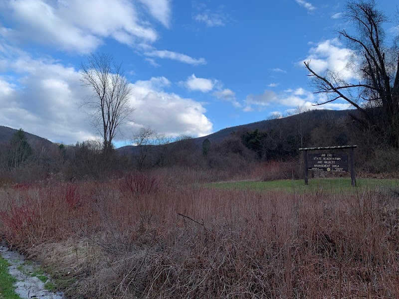
Location: The Jug End Loop Trail is located within the Mount Washington State Forest, roughly 15 minutes from Great Barrington. The loop is approximately 3 miles long and offers a range of terrain, making it a favorite for both summer and fall hiking.
-
What Makes It Special: One of the trail's highlights is its diverse ecosystems. Hikers can traverse regions of dense forests, open fields, and rocky outcrops. The scenic vistas at higher elevations reward hikers with panoramic views of the rolling hills and the distant Taconic Range, especially breathtaking during the fall foliage season.
-
Key Features: The trail features well-marked paths and numerous viewpoints, along with picnic areas where visitors can rest and enjoy their surroundings. There's also ample parking at the trailhead, which makes it convenient for day hikers.
Local Insights
The Jug End Loop Trail has historical significance as it once served as a logging route in the 19th century. Local flora and fauna are abundant here, including deer, wild turkeys, and various songbirds. Observing these animals adds an enriching layer to the hiking experience.
Visitor Tips
-
Best Times to Visit: The trail is most popular in the fall for leaf-peeping and spring for wildflower blooms. Summer hikers should plan for early mornings to avoid heat.
-
What to Bring: Essential gear includes sturdy hiking boots, plenty of water, snacks, a first-aid kit, and weather-appropriate clothing.
-
Driving Directions: From Great Barrington, take Route 23 east for approximately 8 miles, then turn left onto Jug End Road. The parking area is well indicated. Expect about a 15-minute drive.
Adventure Map
Reviews