Hiking the Hoosac Range Trail in The Berkshires

image

Hiking the Hoosac Range Trail in The Berkshires

Hiking the Hoosac Range Trail is a distinctive activity in The Berkshires, offering adventurers the chance to traverse a natural landscape that captures the essence of this region’s stunning beauty and rich history. The trail rewards hikers with both physical challenge and breathtaking vistas, making it a vital experience for those looking to engage with The Berkshires' outdoor offerings.

Adventure Guide To Hiking the Hoosac Range Trail

  • Trail Location: The Hoosac Range Trail starts at the North Adams Trailhead, accessible via Massachusetts Route 2.
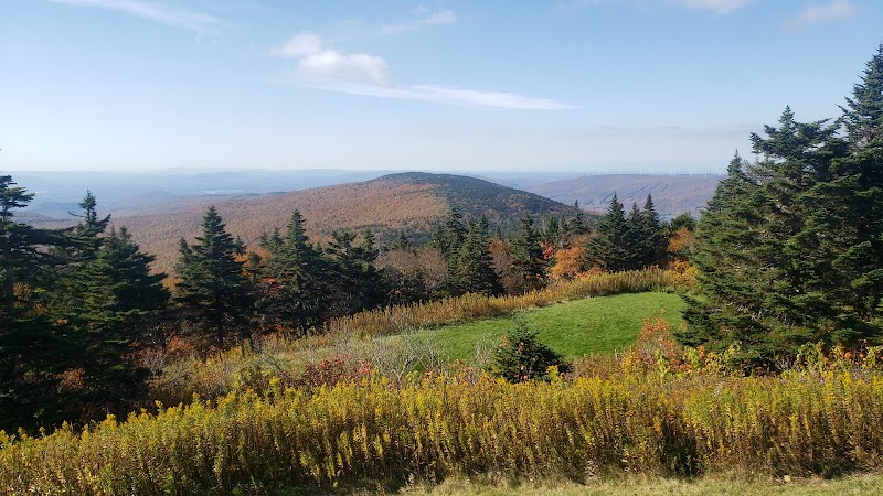
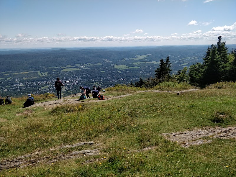
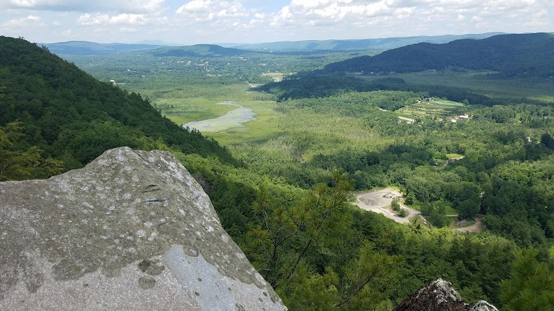
    Special Features: This section features a range of landscapes, from dense woodlands to rocky outcrops that provide panoramic views of the surrounding valleys. A highlight is the lookout at Baker Peak, where hikers can pause to enjoy views of the Hoosac Valley and the forests below.
    Amenities: The trailhead includes parking facilities and information signs detailing the trail's features.

  • Loop Trail Segment: Another notable part of the hike is the Berkshire Natural Resources Council (BNRC) Loop, which connects to the main trail and provides options for shorter hikes for families or beginners.
    Special Features: This segment offers interpretive signs that educate visitors on local flora and fauna. The terrain varies, including gentle slopes and moderate inclines that cater to various skill levels.
    Amenities: Along this loop, there are rest areas with benches for a break.

  • Historical Context: The Hoosac Range has historical significance from the 1800s, with remnants of old logging roads visible along the trail.
    Local Insights: The region is known for its rich geology and the presence of rare plant species, particularly along north-facing slopes.

Visitor Tips

  • Best Times to Visit: Late spring through early fall offers the best hiking conditions, with wildflowers blooming and clear trails.
  • What to Bring: Essential items include sturdy hiking boots, water, snacks, weather-appropriate clothing, and a map.
  • Driving Directions: From downtown Berkshires, take Route 2 East for about 15 minutes to reach the North Adams Trailhead.

This trail embodies the spirit of outdoor adventure in The Berkshires, merging natural beauty with unique historical insights, making it a must-visit for hiking enthusiasts.
Adventure Map

Reviews

Loughton F4 years ago
Not a difficult hike but you will still feel it. Approximately two good view points at Spruce Hiil and Sunset. Not as SCENIC as some other hiked. Small trail for other hikers going the opposite way. You will have to step aside. Small parking lot.
P Kapinos4 years ago
The bnrc website says the hike to spruce hill is difficult. It's not, moderate to easy at best. Mostly well marked trail until the very end when it connects with a blue trail and you need to figure out which way to the summit, but when it doubt go up. Some slightly overgrown parts but still easy to maneuver, but you might want to wear long pants bc they are thorn bushes. Nice lookouts at 4 different places but the one at the top of spruce hill is definitely the best. Great views of Mount Greylock from there and down into the valley.
Chris Kollett4 years ago
I really enjoyed this hike. It is relatively level and for long stretches you are in the forest with no real views. As you approach Spruce Hill, however, you catch more and more glimpses of the views to come. Spruce Hill itself is magnificent, with distant views that include Mount Greylock; the towns of Adams, North Adams, and Williamstown; and more.
David Boraks6 months ago
We hiked on a Sunday morning and encountered only a couple of other hikers. Didn't have time for the whole trail, but we were able to turn around mid-way and get about an hour hike. We found it relatively easy, with no steep sections. The overlook with a view of North Adams is worth a stop.
Tristan James Chandlera month ago
Okay we go to this place at least once a year it's actually what is known as Sugarloaf. Not to be confused with the ski area in Maine. You're right on the Connecticut River you go up and on the road this year we have to wait 20 minutes cuz it was absolutely mobbed. The visibility was excellent you can see University of Massachusetts at Amherst very easily. I haven't looked at all the pictures but I think we might have been able to actually have good enough visibility to see some of the buildings in New Haven. There's a great picnic area plenty of tables and you have a kind of a building it used to be where there was an old small now it's an observation tower you can go up. It goes up three levels. They do need to do some repairs because there was water leaking into the ceiling in the bathroom at the base of the building. Overall definitely worth the trip.

Related Posts

featured

Hiking to the Summit of Mount Greylock in The Berkshires

featured

Hiking the Trails of Monument Mountain in The Berkshires

featured

Hiking the Appalachian Trail in The Berkshires

featured

Hiking the Thunderbolt Trail in The Berkshires