Journey Through Uwharrie National Forest: A Backpacker's Guide
Journey Through Uwharrie National Forest: A Backpacker’s Guide
Introduction
Uwharrie National Forest—less celebrated than its towering cousins in the Rockies or the Pacific Northwest—lies as a hidden gem in North Carolina, offering adventurers an unexpected retreat into the heart of ancient wilderness. This forest, born from mountain peaks that once loomed higher than the Himalayas, now features undulating ridges and rocky outcroppings that carry a whisper of eons. It’s no grand stage of alpine drama; instead, Uwharrie captivates with its quiet resilience and a beguiling mix of beauty and mystery, welcoming those with a curiosity for places off the beaten path.
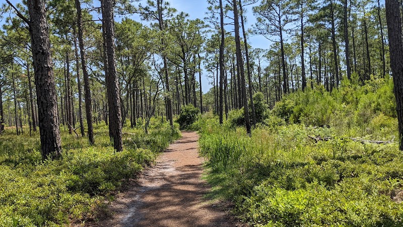
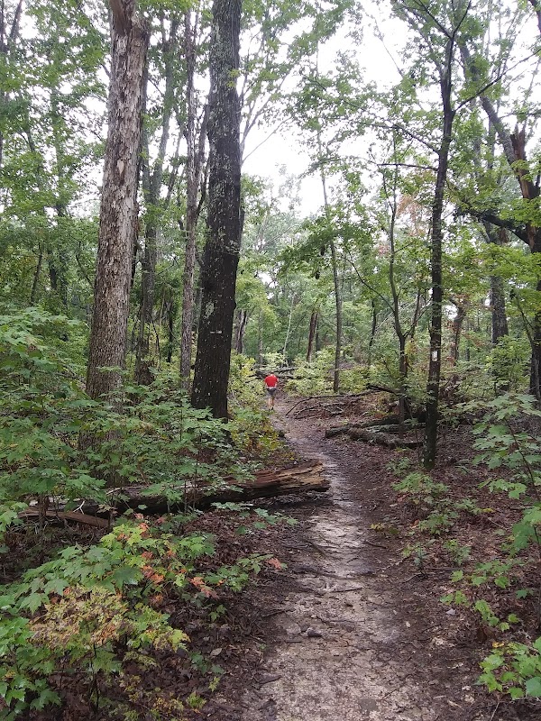
A backpacking trip through Uwharrie is a dive into landscapes shaped by time, filled with trails that cut through old-growth oak and hickory, cross rushing creeks, and wind around moss-laden boulders. Imagine setting out on a trail just as dawn breaks over the forest, painting the world in hues of gold and mist. Early risers might spot deer slipping through the underbrush or hear the echoing call of a hawk, casting a wild charm over the stillness of morning.
The Uwharrie Trail, stretching roughly 40 miles, is the main artery of adventure, giving you both well-marked sections and rugged backcountry for seasoned trekkers. With campsites dispersed throughout, there’s no shortage of places to set up, breathe in the forest, and feel its pulse as night falls. Beyond just hiking, Uwharrie invites you to pause, listen, and embrace the meditative rhythm of wilderness.
For an immersive backpacking experience, Uwharrie National Forest is North Carolina’s best-kept secret. Adventure here isn’t about conquering summits but embracing a landscape that hums with quiet wonder. Pack well, walk slowly, and prepare to meet a forest that speaks to those who are willing to listen.
Adventure Guide Summary: Backpacking in Uwharrie National Forest
Must-See Sites and Stops
- Yates Place Campground: A beloved starting point for backpackers on the Uwharrie Trail, Yates Place offers rustic amenities and easy access to the trailhead, making it an ideal base for venturing deeper into the forest.
- Birkhead Mountains Wilderness: A 5,160-acre section that lies off the main trail, this wilderness area offers secluded, lesser-traveled paths, ideal for experienced backpackers wanting a more untouched experience.
- King Mountain Loop: This short yet scenic detour near the main trail features rocky overlooks with sweeping views of the forest, perfect for a day hike or a quick stop to take in the landscape.
Backpacking Essentials for Uwharrie
- Water Access: While there are creeks and streams, some dry up in hotter months. Bring a water filtration system and plan your water stops, especially if hiking in late summer.
- Weather Considerations: The forest can be humid, and storms roll in unexpectedly. Check the forecast and pack light rain gear to avoid sudden downpours.
- Trail Maps: Though the main Uwharrie Trail is marked, side trails may not be. A detailed map or GPS is invaluable, particularly for finding campsites and exploring off-trail spots.
Nearby Towns for Supplies
- Troy, NC: Just a short drive from trailheads, Troy offers convenience stores and a few cozy diners for last-minute needs or a post-hike meal.
- Asheboro, NC: A bit farther out, Asheboro has a wider range of stores and restaurants, making it a good place to stock up or unwind after your adventure.
Travel Tips
- Leave No Trace: Uwharrie is a pristine natural area, so practice Leave No Trace principles to help preserve it.
- Trail Conditions: Visit the Uwharrie Ranger District Office for the latest trail updates, potential detours, or seasonal closures.
Set out with an open mind and a readiness to immerse yourself in nature’s unhurried pace. Uwharrie offers a reminder that the best adventures aren’t always about grand sights, but about becoming part of an enduring wilderness. Here, simplicity reigns, and adventure lies in the small, resonant moments—each step a journey into the quiet heart of North Carolina’s ancient forest.