Raven Caves Trail in Sedona
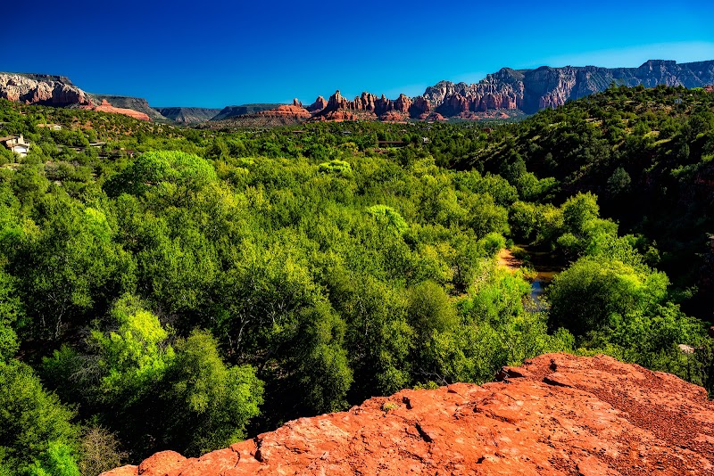
Raven Caves Trail in Sedona
Introductory Overview
The Raven Caves Trail in Sedona offers a unique hiking experience that combines remarkable geological formations with opportunities to discover Sedona's natural beauty and history. Located just west of Sedona, this trail leads to a collection of fascinating rock alcoves, which were historically used as shelter by indigenous people. For those seeking a moderately easy adventure, this trail is all about stunning views, accessible terrain, and the chance to connect with Sedona’s defining red rock landscape.
Adventure Guide To Raven Caves Trail
-
Trail Location and Details
The Raven Caves Trail is accessed near Sycamore Pass Road, just off Forest Road 525, roughly a 15-minute drive from Sedona. The hike itself is about 1.5 miles roundtrip, making it an excellent choice for families or those looking for a short, scenic excursion. Its relatively gentle elevation gain makes it accessible for most skill levels. -
Key Spots on the Trail
The highlight of the trail is the series of alcoves carved into the cliffs, known as the Raven Caves. These areas provide both stunning photographic opportunities and a glimpse into the ancient usage of the landscape by Native American tribes. Nearby, the trail also offers beautiful sights of the Verde Valley and the distant Mingus Mountain range. -
Photography Opportunities
The glowing red and orange rock formations at golden hour make this trail a favorite for photographers. The position of the caves and the surrounding landscape makes them a fantastic subject during sunrise or sunset.
Local Insights
While not as widely known as other Sedona trails, Raven Caves offers a quieter environment, especially during weekdays. The area holds significance as part of Sedona's cultural heritage, with evidence of ancient habitation visible in the form of soot on cave ceilings. Visitors are encouraged to respect these sacred spaces by leaving them undisturbed.
Visitor Tips
- Best Times to Visit: Early morning or late afternoon for cooler weather and softer light.
- What to Bring: Comfortable walking shoes, plenty of water, sunscreen, and a camera.
- Driving Directions: From Sedona, take AZ-89A to Forest Road 525. Follow signs for Sycamore Pass Road. Allow about 15–20 minutes of driving.
- Additional Tips: A high-clearance vehicle is recommended for accessing the trailhead due to rough roads.