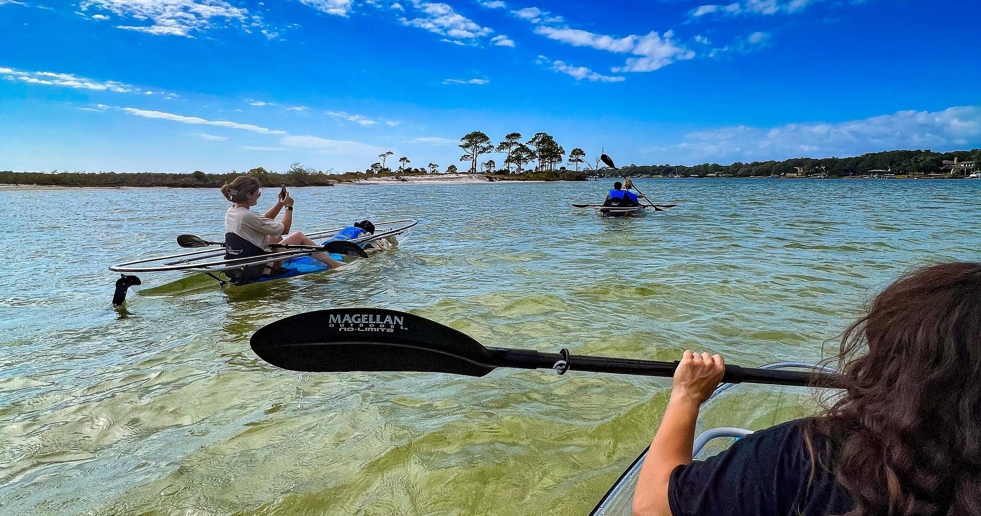
Why Mary Esther Is a Distinctive Kayak Destination
On a still morning in Mary Esther the water reads like a slow-moving mirror and the sky slides into the bay in a pale wash. Paddling here feels intimate because the landscape is scaled to the boat—narrow channels braid through cordgrass and mangroves, oyster bars rise like small, silvery reefs at low tide, and the horizon is often framed by a distant line of dunes rather than high-rise development. The mix of shallow estuary and quick access to the Gulf creates a compact playground: sheltered, wildlife-rich paddling for mornings and gentle offshore runs when conditions allow. For a coastal kayaker, that means variety without the all-day drive.
Mary Esther’s waterways are ecological at heart. The Choctawhatchee Bay and its tributaries funnel nutrients and juvenile fish into the Gulf; as a paddler you’ll pass through nursery grounds where spotted seatrout, mullet, and small sharks move beneath your hull. Above, wading birds—great blue herons, snowy egrets, and roseate spoonbills in season—hold stately poses on exposed flats. Dolphins often thread the bay’s deeper channels; turtles and occasional rays show themselves near sandbars. Because much of the habitat is low and horizontal, wildlife viewing is uncomplicated: a silent glide and a slow turn of the paddle are often enough to watch behavior unfold.
Culturally, Mary Esther is quietly tied to the larger Okaloosa County paddle community—Fort Walton Beach, Destin, and Niceville share launch points, local outfitters, and an ethic of respecting fragile coastal systems. Launches are typically municipal parks, small boat ramps, or beach access points where parking and day-use rules vary; tide windows matter, especially if you plan to thread shallow bays or cross wide flats. The region is also home to fishing, stand-up paddling, birding, and scalloping in season—activities that pair well with a kayak trip and enrich an itinerary. For travelers, the city’s compact size means you can base in a simple rental and be on the water within minutes, trading cramped travel hours for more dawn and dusk paddling time.
Practical paddling here is straightforward but not without nuance. Weather patterns—sea breezes in the afternoon, summer storms, and occasional cold fronts—shape whether a route is calm or choppy. Tides alter the appearance of the route: low tide reveals sprawling flats and oyster beds that are beautiful to study but can strand a novice paddler if they misjudge depth. Local knowledge pays off: tide charts, a basic understanding of currents in the mouth of the bay, and watching wind forecasts will turn a good day on the water into a great one. Above all, Mary Esther rewards slow travel—stick to low-impact routes, carry a small trash kit, and you'll leave the places you visit as quiet as you found them.
The compact mix of bay and Gulf access makes Mary Esther uniquely efficient: short drives to diverse paddling environments.
Tide and wind are the primary determinants of difficulty here—planning around sea breezes and tidal windows is essential.
The harbor is the gateway, and the Pacific becomes the classroom.
Wildlife viewing is excellent and accessible: early mornings and late afternoons provide the richest encounters.
Choose by purpose
Whale watching, snorkeling, sunset sailing, cultural canoeing, harbor sightseeing, or private chartering.
Start near the city
Waikiki and Honolulu Harbor are primary hubs, with some trips launching near Hanauma Bay.
Confirm the vessel
Gangways, shaded seating, and boarding requirements vary according to vessel size and operator.