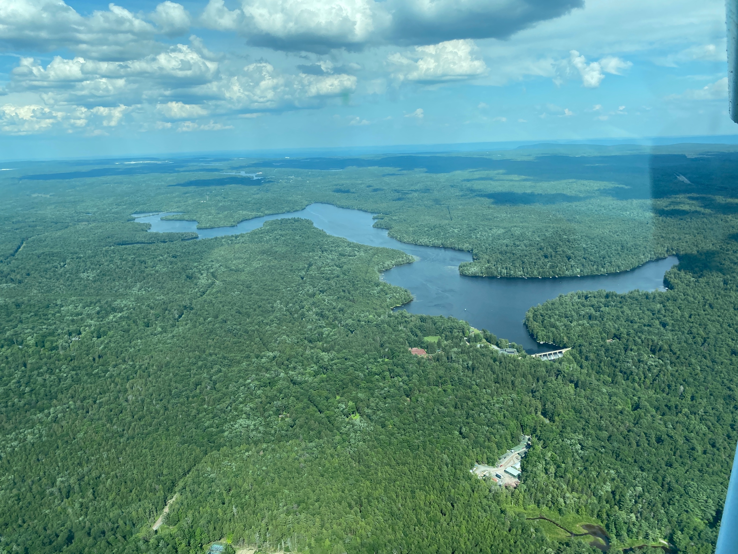
Up close, Montague feels like an intimate corner of the Highlands—a place where ridges step down into rivers and the human scale of old farms and small towns sits gently beneath wide skies. From the window seat of a small plane or the open cabin of a helicopter the visual story becomes immediate: ribbons of river and road, the stark edge of the Kittatinny Ridge, and the long linear shadow of the Appalachian Trail. That visual clarity is what draws most visitors to take to the air here. Flights are short—often 20 to 60 minutes—so you don’t need a whole day to get a new perspective. In mornings with high visibility you can watch low sun pick out stone walls and the serrated edge of ridgelines; in autumn the patchwork of reds and golds reads like a topographic watercolor from above.
Air tours based around Montague are practical as well as pretty. The region’s small airstrips and proximity to general aviation services make last-minute charters and photography-specific flights possible. Pilots who operate here know how to thread scenic lines that reveal both geological features—the exposed quartzite of the Kittatinny—and cultural touchstones, including old mill ponds, river bends favored for fly-fishing, and the small clustered villages that dot the valley. For travelers who plan a multi-activity weekend, an air tour functions as a narrative spine: orient from the air, then descend to hike a ridge, paddle a section of the Delaware, or explore a local farmstead. The result is an efficient way to experience the region’s scale, seasonality, and texture without committing to a technical climb or long road trip.
Practically speaking, weather governs everything. Montague’s air tours are most consistent in spring, summer mornings, and the crisp days of early autumn—when visibility is high and winds over the ridge are manageable. Cloud decks, thunderstorms in summer afternoons, and strong ridge winds in transitional seasons increase cancellations and may require last-minute rescheduling. For photographers and leaf-season visitors, planning a flexible window (two or three days) around potential flight dates will almost always pay off. Whether you want a quick orientation flight before a day of hiking or a dedicated aerial photography charter, Montague’s compact landscape and aviation-friendly infrastructure make it one of the region’s quietly effective places to experience the sky.
Short flights deliver maximum landscape read: the combination of river corridor, agricultural patches, and the Appalachian ridgeline is compact and photogenic.
Operators in the area routinely tailor routes for foliage, sunrise/sunset light, or specific photographic objectives.
The harbor is the gateway, and the Pacific becomes the classroom.
Because most services use small aircraft, tours are intimate—limited passenger counts, flexible routing, and a pilot who doubles as a local guide.
Choose by purpose
Whale watching, snorkeling, sunset sailing, cultural canoeing, harbor sightseeing, or private chartering.
Start near the city
Waikiki and Honolulu Harbor are primary hubs, with some trips launching near Hanauma Bay.
Confirm the vessel
Gangways, shaded seating, and boarding requirements vary according to vessel size and operator.