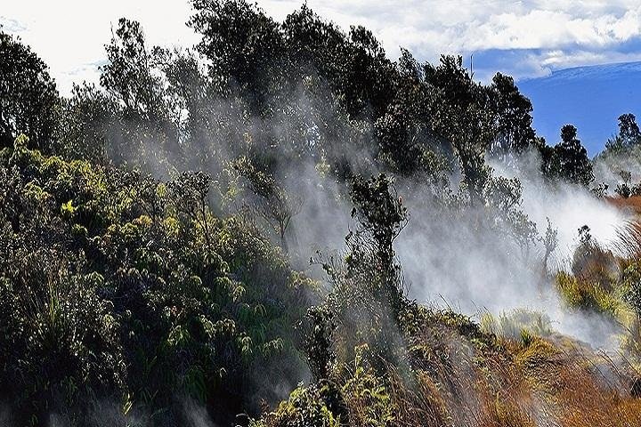
There are places that invite you to walk their contours and places that demand you look up; Pāhala, cradled between the Kaʻū coastline and the slopes leading to Hawaiʻi Volcanoes National Park, is emphatically the latter. The town’s modest elevation and its position on the island’s southwest quadrant make it an ideal staging point for flights that compress hours of travel on the ground into cinematic minutes in the air. From a small-plane window the shoreline becomes narrative: towering sea cliffs give way to black-sand beaches and coastal terraces carved from successive lava flows; the interior reads like a geological atlas — rift zones, old flow fields, and the bowl of the caldera framed by cloud. The rainforest that buffers the higher slopes appears as a continuous, emerald canopy bisected by waterfalls that look impossibly thin until you remember the scale below.
Flying here is as much about seasonal light and weather as it is about geography. Trade winds and local thermals sculpt flight paths, producing days of glassy calm ideal for photography and others where the ride is bracing and alive. The atmosphere around Pāhala is also culturally rich: the air above plantations, pastoral fields, and ʻāina sacred to local communities carries stories of settlement, subsistence, and change. An aerial perspective reframes those stories, revealing human patterns — mauka-to-makai roads, pocketed hamlets, and agricultural grids — stitched into the island’s dramatic natural architecture.
For travelers, air activities in and around Pāhala provide experiences that dovetail with other local adventures. A morning scenic flight can orient you to the region before a day hiking in Hawaiʻi Volcanoes National Park; an afternoon coastal pass can set the stage for a sunset drive along Highway 11. Because many aerial operators are small and local, the experience often feels personalized — pilots narrate as you go, pointing out seabird colonies, historic shrines, and hidden valleys that are difficult to see from the road. Environmental sensitivity is part of the calculus: pilots and visitors alike navigate a landscape of conservation priorities and community concerns, and good planning means respecting noise limits, wildlife areas, and cultural sites. In short, air activities centered on Pāhala are not just about altitude — they are a way to reframe the island’s geography, history, and ecosystems, giving travelers a clear and urgent sense of place from a perspective most people rarely get to keep.
The terrain: dramatic sea cliffs, black-sand beaches, lava-carved plateaus, cloud-shrouded calderas, and dense upland rainforest make for varied aerial scenery.
Local context: flights often include views of Hawaiʻi Volcanoes National Park’s rim, the Kaʻū coastline, and remnants of sugar-plantation-era landscapes.
The harbor is the gateway, and the Pacific becomes the classroom.
Experience mix: scenic tours, photography-focused flights, and custom charters are the typical offerings; pair a flight with hiking or coastal exploration for a fuller day.
Environmental note: winds, vog (volcanic haze), and seasonal cloud cover strongly affect flight options; flexible planning is essential.
Choose by purpose
Whale watching, snorkeling, sunset sailing, cultural canoeing, harbor sightseeing, or private chartering.
Start near the city
Waikiki and Honolulu Harbor are primary hubs, with some trips launching near Hanauma Bay.
Confirm the vessel
Gangways, shaded seating, and boarding requirements vary according to vessel size and operator.