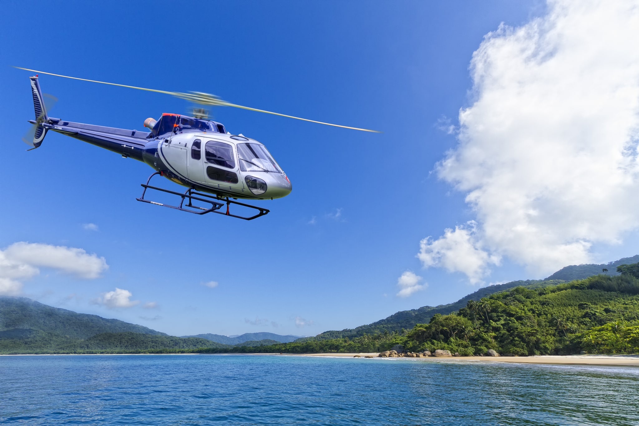
There is a peculiar hush that arrives the moment a rotorlift begins its approach—an expectant stillness that softens the forest sounds below and focuses attention upward. In Volcano Village that hush is born of scale: you are about to see earth remaking itself. From the air, the island reads like a living map of contrasts—fissures and blackened flows carve moonscapes into the green, steam plumes rise in pale banners above steaming vents, and the coastline unspools into jagged cliffs and black sand beaches where surf scours the lava fields. Air activities here are not merely scenic; they are a form of translation: turning geological time into a single, visceral hour.
Flying above Kīlauea and the surrounding park compresses the island’s disparate ecosystems into a single frame. Aerial vantage reveals how fresh pahoehoe ribbons snake down slopes, how rainforests cling to windward cliffs, and where lava meets the sea in sudden, hissing unions. The perspective changes how you move on foot thereafter—trails that seemed vague from below become obvious routes of flow, while distant ridgelines reveal optional flights, coastal landings, and hidden access points for hike-and-fly combinations. There's also a cultural clarity that comes from altitude: many Native Hawaiian stories and place names are rooted in the contours of land and sea. Seeing the scale of a mountain, a crater, or a coastline from above can deepen respect for local traditions and the living deity Pele, whose presence people acknowledge when exploring these places.
Practically speaking, air activities around Volcano Village are shaped by weather, visibility, and respect for sensitive environments. Trade winds sweep across the island and can buff or smooth a flight; vog—volcanic haze—can settle over the park and alter visibility rapidly. Operators time flights for morning calm and clearer air, and pilots monitor changes that can turn an ideal window into a grounded day. Because the landscape itself can be dynamic—new flows, steaming vents, and shifting patterns of gas—operators blend real-time local knowledge with aviation safety to craft itineraries that are as flexible as the terrain.
What makes airborne adventures here especially compelling is the layering of sensory anchors: the low rumble through the fuselage, the acidic tang of volcanic gases when you hover near active vents (often noticeable only after landing with strict safety buffers applied), the sudden patchwork of greens and charcoals, and the feeling of traversing a landscape at once ancient and newly forming. For travelers, that blend of spectacle and instruction—seeing geological processes in motion, then hiking to feel them underfoot—creates a fuller, more memorable relationship to Hawaiʻi Island than either perspective alone can offer.
Air tours provide unique access to features that are difficult or unsafe to reach on foot: coastal lava entry points, extensive lava plains, and the full scale of caldera formations visible only from above.
Because conditions change quickly near active volcanic areas, expect schedule flexibility—many operators shift departure times or routes in response to wind, vog, or park advisories.
The harbor is the gateway, and the Pacific becomes the classroom.
Combine an aerial overview with ground-based activities—guided lava viewing hikes, night tours for glowing flows, and coastal excursions—to convert a one-hour flight into a multi-dimensional day of exploration.
Choose by purpose
Whale watching, snorkeling, sunset sailing, cultural canoeing, harbor sightseeing, or private chartering.
Start near the city
Waikiki and Honolulu Harbor are primary hubs, with some trips launching near Hanauma Bay.
Confirm the vessel
Gangways, shaded seating, and boarding requirements vary according to vessel size and operator.