Hiking To Cedar Rock Creek Falls in Brevard
Adventure Destination

Hiking To Cedar Rock Creek Falls in Brevard

Explore the 4.2-mile roundtrip hike to Cedar Rock Creek Falls near Brevard, NC. Rated moderate, this trail in Pisgah National Forest is ideal for families and offers beautiful waterfall views, birdwatching, and photo opportunities in a serene forest setting.

Hiking7.5/10Moderate
Photo Gallery

Category

Hiking

Typical Duration

2-4 hours

Difficulty

Moderate

About This Adventure Destination

Introductory Overview

Cedar Rock Creek Falls, located in Brevard near the Pisgah National Forest, is a must-see for hiking enthusiasts who love combining natural beauty with a moderately challenging trail. This picturesque waterfall is a prime attraction because of its unique cascade design that flows over smooth rock formations into serene pools below. As part of the area often referred to as the “Land of Waterfalls,” Cedar Rock Creek Falls adds a distinctive charm with its tranquil setting, rich biodiversity, and proximity to other hiking opportunities. Whether you're a seasoned hiker or a family seeking an outdoor adventure, this destination offers something special and quintessentially Brevard.

Editorial Assessment

Cedar Rock Creek Falls in Brevard offers a beautiful and serene setting for hiking and outdoor exploration. While it's a lovely spot for nature enthusiasts, it lacks the distinctive features that make other locations globally iconic.
Hiking To Cedar Rock Creek Falls in Brevard

Adventure Guide to Hiking To Cedar Rock Creek Falls in Brevard

1

- Access Trail through Pisgah National Forest: Start your hike at the Cat Gap Loop Trailhead within Pisgah National Forest. The trail is well-marked and offers a 4.2-mile roundtrip hike, combining lush forested terrain with rewarding sights such as streams and smaller cascades en route to Cedar Rock Creek Falls.

  • Details:

    What makes it special: This trail is known for its quiet seclusion and photogenic surroundings. Birdwatchers and wildflower enthusiasts especially appreciate the rich wildlife along the path.

  • Details:

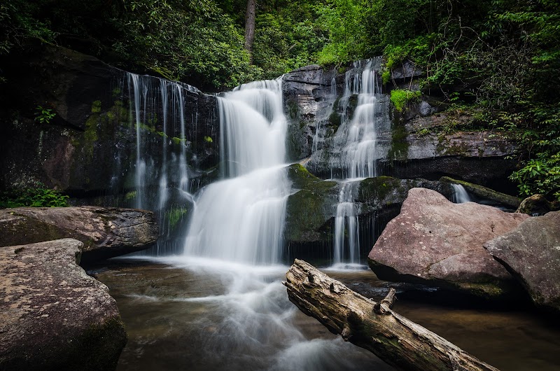
    The Falls Itself: Cedar Rock Creek Falls stands out due to its multi-level cascade flowing gracefully over moss-covered stones. The tranquil sounds of rushing water make it a favorite for hikers seeking peaceful retreats.

  • Details:

    Key Features: Shaded base areas ideal for relaxation and photography; often less crowded compared to other local waterfalls.

  • Details:

    Connecting Trails: For those looking to extend the hike, Cedar Rock Creek Falls connects to the wider network of Pisgah National Forest trails, including the John Rock Loop and Butter Gap Trail. This provides versatile options for those interested in longer hikes.

  • Details:

    Amenities: Parking area at the trailhead and primitive bathrooms nearby.

2

Local Insights

  • Overview:

    Cedar Rock Creek Falls is a testament to the area's geological history, with its smooth rock surfaces formed over centuries of erosion. Locals recommend visiting during late spring or early fall when water flow is optimal, and foliage accents the landscape.

3

Visitor Tips

  • Details:

    Best Time to Visit: Mornings or weekdays during spring or fall for fewer crowds and better lighting for photography.

  • Details:

    What to Bring: Waterproof hiking boots, snacks, camera for capturing the scenic beauty, and trail maps.

  • Details:

    Driving Directions: From downtown Brevard, take U.S. Highway 276 North into Pisgah National Forest and follow signs to the Cat Gap Trailhead (approximately 20 minutes).

Reviews

J
Julie Mellin5 months ago

Great destination! Enjoyed the open trail and peaceful outdoor atmosphere.

S
Steve P7 months ago

Park at Pisgah Center for Wildlife Education. Walk towards the cliffs along the asphalt and you will be on the Cat Gap Loop. The trail head is unmarked until you get to the path. Starting in this direction, the path takes you directly to the Cedar Rock Creek Falls. You can only see the falls slightly through the trees so you'll need to take a tributary path to get right up to the falls. If you take the loop all the way around it will take you back to the parking lot you started.

G
General & Cosmetic Dentistry of Tampa - Drs. Diez7 months ago

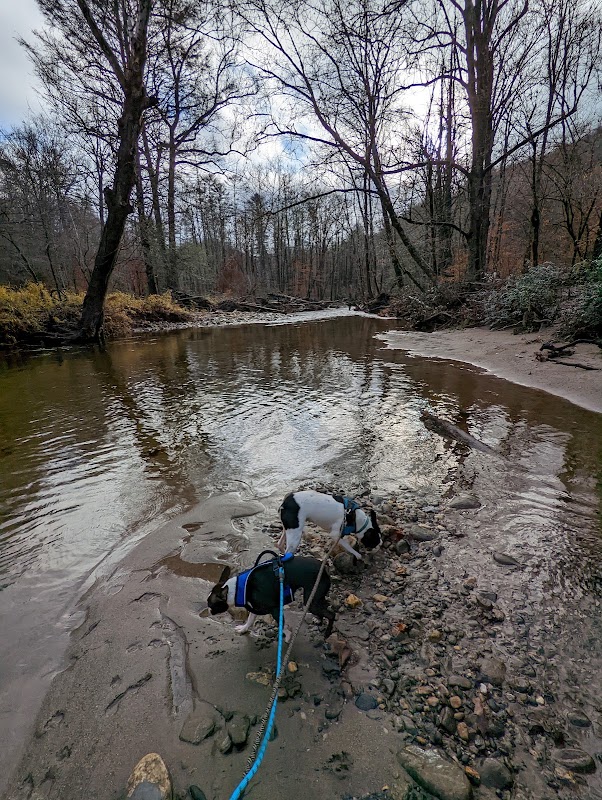
No idea where Cedar Rock Creek Falls is, we followed the Google Maps directions and it led us to Cat Gap Loop and we did see this unnamed waterfall. Had to climb down off the path to get to it. Also did the loop which was a steep climb and total 4 miles. Many root stairs. Pretty, but a bit long and hard on knees. 6 or so cool small bridges and rock bridges to cross. Giving 2 stars since Google Maps directions lead you through a fence that clearly states: no foot, bike or vehicle traffic. Authorized persons only. So we parked 100 feet away and entered at the end of Cat Gap Loop hoping to make our way down to where GMaps pin point said we would locate Cedar Rock Falls. That’s where we came across a small 12’ waterfall (pictured). Not the same Fall as pictured on GMaps 🤷‍♀️

K
Kelly Thurmana month ago

Great destination! Enjoyed the open trail and peaceful outdoor atmosphere.

D
David Smitha month ago

Beautiful waterfall just off Cat Gap Loop trail. The hike down to the falls is a little more difficult now as there are a lot of trees down. Definitely worth the scramble.

Nearby Adventures

Bookable Experiences

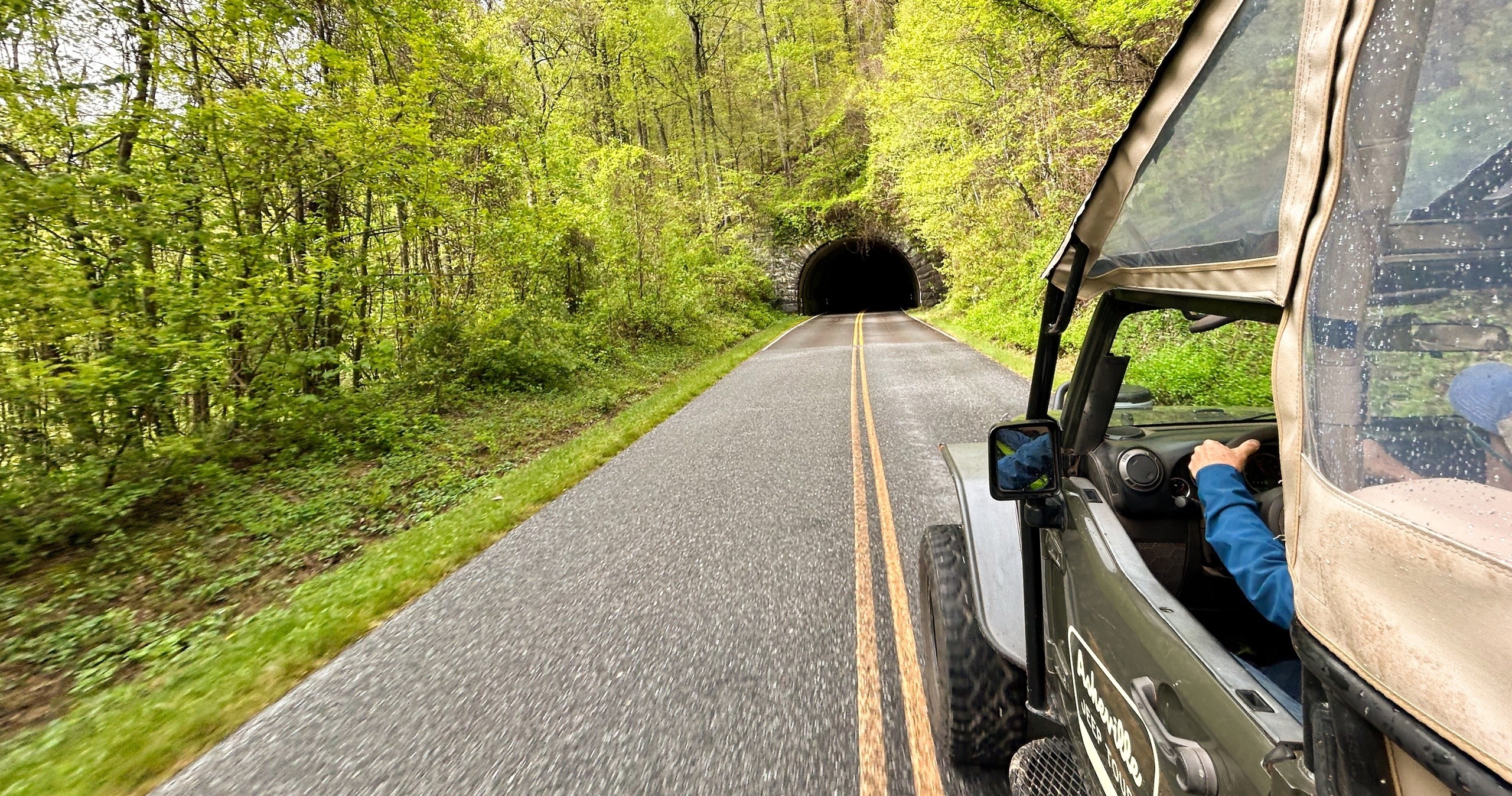
Jeep the Blue Ridge Parkway: Ridge-top Overlooks from Brevard5.47 mi
Brevard, North Carolina

Jeep the Blue Ridge Parkway: Ridge-top Overlooks from Brevard

A local-guided Jeep run along the Blue Ridge Parkway that delivers multiple mountain overlooks, light refreshments, and an easy, no-hike way to experience the high country.

5.47 miView Trips & Details →
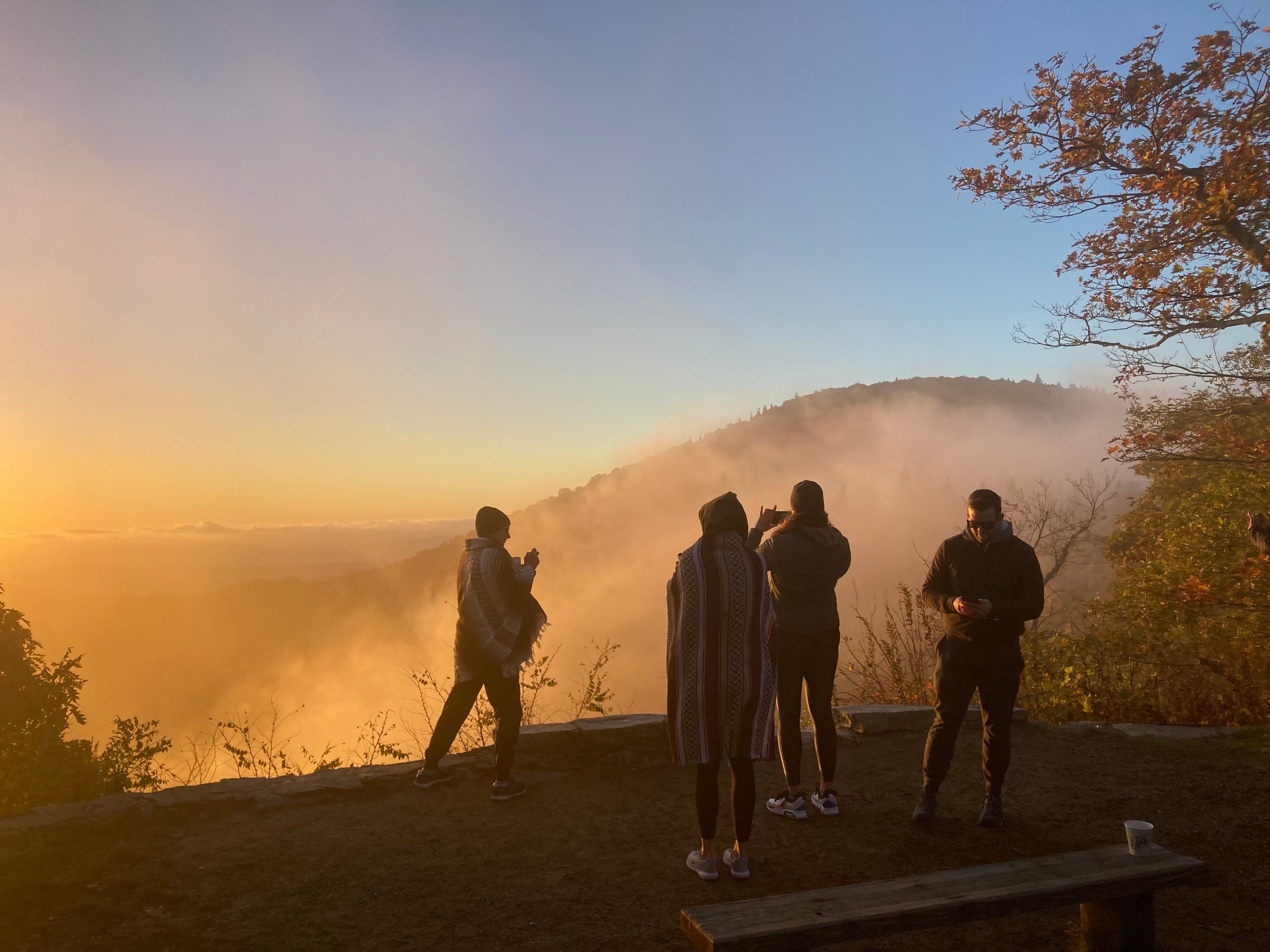
Dawn, Dirt Roads, and a Cup: Sunrise & Coffee Jeep Tour over Brevard’s Mountains5.47 mi
Brevard, North Carolina

Dawn, Dirt Roads, and a Cup: Sunrise & Coffee Jeep Tour over Brevard’s Mountains

A 2.5-hour public Jeep outing that pairs scenic mountain views and a sunrise with freshly brewed coffee; this guide lays out what to expect and how to prepare.

5.47 miView Trips & Details →
Waterfalls & Backroads Jeep Tour — Pisgah Forest’s waterfalls and Blue Ridge Parkway perches5.47 mi
Brevard, North Carolina

Waterfalls & Backroads Jeep Tour — Pisgah Forest’s waterfalls and Blue Ridge Parkway perches

A 2.5–3 hour public group jeep outing that visits at least two waterfalls and a Blue Ridge Parkway overlook, with minimal hiking, water and light snacks provided.

5.47 miView Trips & Details →
Jeep Tracks and Cascades: A Four‑Hour Waterfall Hike Through Brevard’s Backcountry5.47 mi
Brevard, North Carolina

Jeep Tracks and Cascades: A Four‑Hour Waterfall Hike Through Brevard’s Backcountry

A guided 4-hour small-group tour from Asheville Jeep Tours that combines a custom-built jeep ride with a 3–4 mile moderate hike to 4–5 waterfalls; this guide explains what to expect and how to prepare.

5.47 miView Trips & Details →
Yeti SB140 in Boulder: A carbon‑fiber mid‑travel 29er built for guided rides and coaching5.59 mi
Boulder, Colorado

Yeti SB140 in Boulder: A carbon‑fiber mid‑travel 29er built for guided rides and coaching

Guided rides and flexible rentals of the Yeti Cycles SB140 — a mid‑travel, full‑suspension 29" with a 12‑speed drivetrain and dropper post, available in S, M and L.

5.59 miView Trips & Details →
Trail-Ready Kids’ Bikes in Boulder: 20" and 24" with Front Suspension and Gears5.59 mi
Boulder, Colorado

Trail-Ready Kids’ Bikes in Boulder: 20" and 24" with Front Suspension and Gears

A concise guide to the kids’ bike options available in Boulder—front-suspension, geared 20" and 24" models chosen to fit each child by height and weight.

5.59 miView Trips & Details →