Maglić: Bosnia and Herzegovina's Majestic Giant
Adventure Destination

Maglić: Bosnia and Herzegovina's Majestic Giant

Explore Maglić, Bosnia and Herzegovina’s highest peak, offering challenging hikes and breathtaking views of Trnovačko Lake. This remote location in Sutjeska National Park is known for its biodiversity and historical significance, ideal for adventure seekers.

Hiking8.8/10Hard
Photo Gallery

Category

Hiking

Typical Duration

2-4 hours

Difficulty

Hard

About This Adventure Destination

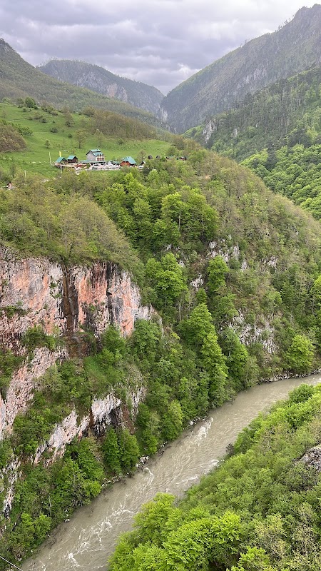
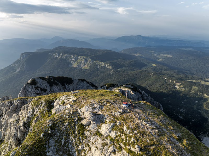
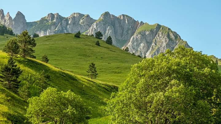
Standing tall within the Dinaric Alps, Maglić is the highest peak in Bosnia and Herzegovina, soaring to 2,386 meters. Its rugged terrain serves as a prime destination for avid hikers and nature lovers. The mountain's landscape is defined by striking rock formations, dense forests, and panoramic vistas that promise an unforgettable wilderness experience.

Key Features

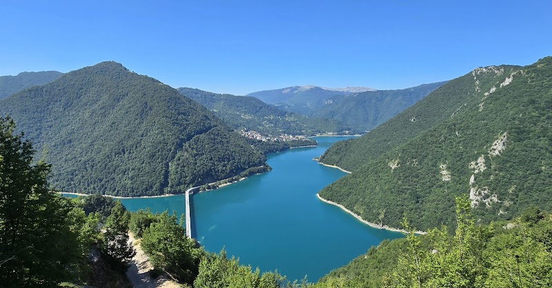
Maglić boasts dense woods teeming with diverse flora and fauna, making it a haven for biodiversity enthusiasts. The area is also renowned for its stunning limestone cliffs. One of Maglić’s most captivating features is Trnovačko Lake, nestled in a heart-shaped valley just over the border in Montenegro—perfect for those seeking a serene retreat.

Historical Touch

A fascinating cultural touch is its proximity to the Sutjeska National Park, which holds significant WWII history. Visitors can find remnants and monuments detailing the famous Battle of Sutjeska.

Visitor Invitation

Immerse yourself in the untamed beauty of Maglić and create lasting memories amidst the clouds.

Editorial Assessment

Maglić stands as a prominent peak offering a combination of stunning vistas, rich biodiversity, and historical significance. While not as globally renowned as some other peaks, it provides a unique, challenging adventure for those exploring the Balkan region, making it a worthy destination for explorers.
Maglić: Bosnia and Herzegovina's Majestic Giant

Adventure Guide to Maglić: Bosnia and Herzegovina's Majestic Giant

1

Hiking to the Summit

  • Location: Start from Prijevor or Sutjeska National Park.
  • Special Element: The trail offers breathtaking views of Trnovačko Lake from above.
  • Visitor Tips:
  • Best Time: Late spring to early autumn.
  • Essentials: Sturdy hiking boots, weather-appropriate clothing, and plenty of water.
  • Directions: A 3-hour drive from Sarajevo (approx. 120 km).
2

Exploring Trnovačko Lake

  • Location: On the Montenegrin side, accessible via Maglić trails.
  • Special Element: The heart-shaped lake surrounded by lush greenery is ideal for a picnic or photo session.
  • Visitor Tips:
  • Best Time: Late summer to see the full vibrant flora.
  • Essentials: Camera, snacks, and light hiking gear.
3

Sutjeska National Park Exploration

  • Location: Adjacent to Maglić.
  • Special Element: Rich in history and biodiversity, featuring the Perućica rainforest.
  • Visitor Tips:
  • Best Time: Year-round access, but check weather conditions.
  • Essentials: Guidebook, binoculars for birdwatching.

Reviews

T
Tania Zahorodnyaa week ago

Park entrance fee: €10 per person, Bosnian side. The road to the parking lot is easily passable in dry weather, even for campervans. However, allow approximately one hour for the drive. There are no restrooms at the parking lot, but there is a water source for refilling your bottles. If you are used to alpine hikes, have some experience with easy via ferrata routes, and maintain a good pace, this climb should be straightforward. We set off in trail running mode to complete it fairly quickly, in dry and sunny weather. It is advisable to bring a raincoat, a water bottle, and some snacks. A helmet might also be a good idea due to the risk of rockfall from other hikers. At a good pace and traveling light, it took us 1 hour and 40 minutes to hike from the parking lot to the summit. Approximately 800 meters of elevation gain. Very beautiful view from the top. The descent is a bit long, but running makes it go faster. You also have to pay €1 per person to the warden on the Montenegrin side, at the refuge near the lake. A photo of our passports on our phones was enough for us. P.S. Definitely start at the summit, not the lake, if you want to do a loop.

M
Michel Delaunaya week ago

Superb Alpine hike. Helmet, harness and lanyards allow for greater peace of mind.

김창현a week ago

Magic

R
Robert Strzeleckia week ago

The ascent to Maglic is from the roadside parking lot. It takes a little over 2 hours to the pass and then another 2 hours to the summit.

R
Robert Strzeleckia week ago

I climbed Maglic from the roadside parking lot: 43°18'29.0"N 18°39'34.5"E. It took a little over 2 hours to reach the pass and then another 2 hours to reach Maglic. Overall, I recommend it if you're worried about your car. The summit isn't difficult in good weather, but you should exercise caution.