Golden Trout Wilderness
Adventure Destination

Golden Trout Wilderness

Explore the vast Golden Trout Wilderness in Inyokern, CA. Known for its diverse landscapes and serene backcountry, this area offers ample hiking and fishing opportunities. Best visited in late spring or early summer, it's perfect for adventure seekers looking for a peaceful escape.

Hiking7.8/10Moderate
Photo Gallery

Category

Hiking

Typical Duration

2-4 hours

Difficulty

Moderate

About This Adventure Destination

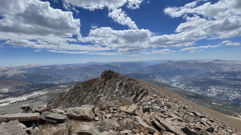
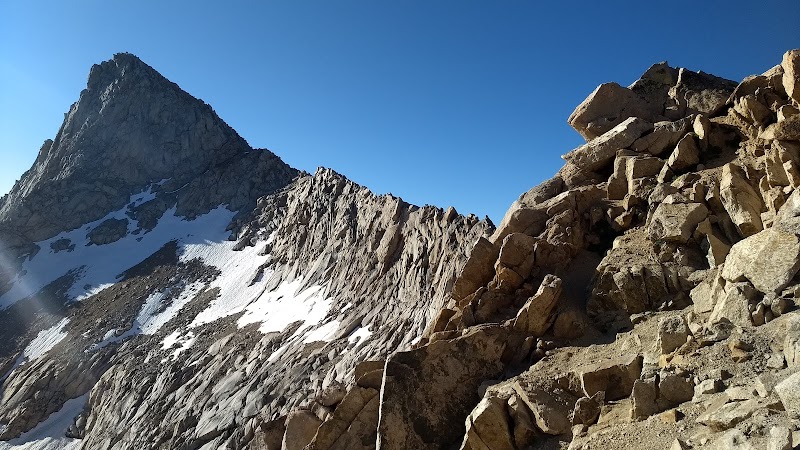
Golden Trout Wilderness, located near Inyokern in California’s Eastern Sierra region, covers over 300,000 acres of vibrant landscapes ranging from grassy meadows to towering alpine peaks. This wilderness area stands out as one of the few places where visitors can see the native Golden Trout, California’s state fish, thriving in its natural habitat. The wilderness is marked by dramatic geological formations, including rugged granite outcrops and deep river canyons, offering striking contrasts to the surrounding high desert environment.

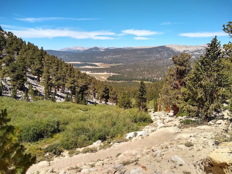
The Kern Plateau provides sweeping panoramas, with the Little Kern River gently winding through as a focal point. This river supports several fragile ecosystems and is essential to the health of the Golden Trout population. Visitors will notice the diversity in plant life, from wildflowers and mountain pines at lower elevations to stunted trees and alpine shrubs near the highest peaks. This variety of flora contributes to rich wildlife presence, including mule deer, black bears, and numerous bird species.

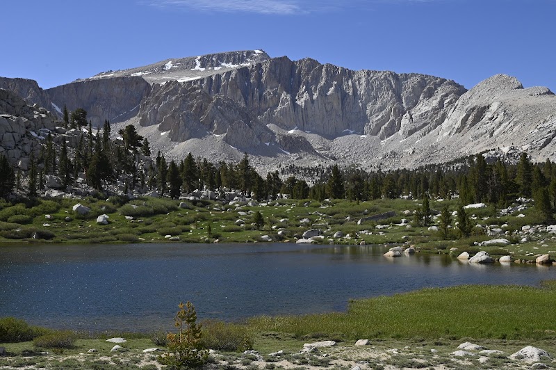
Established in 1978, Golden Trout Wilderness is an unspoiled sanctuary shielded from the crowds typical of other Sierra destinations. The area offers solitude, fresh mountain air, and clear night skies perfect for stargazing. Hikers find challenging routes that reward with peaceful creek crossings, remote lakes, and awe-inspiring views. For those seeking quiet beauty, this wilderness provides a refreshing contrast to busier state and national parks.

A visit here invites a direct connection with California’s natural heritage, where rugged terrain and native species coexist across one of the state’s most unique wilderness areas.


Editorial Assessment

**LaunchPad Value**Golden Trout Wilderness scores 85 due to its exceptional biodiversity and pristine landscapes that offer a quintessential high sierra experience. While it may not have a singular defining feature like other top-rated landmarks, its diverse ecosystems make it a unique and compelling destination for nature lovers.#Hiking #Fishing #California #GoldenTroutWilderness #SierraNevada #OutdoorAdventure
Golden Trout Wilderness

Adventure Guide to Golden Trout Wilderness

1

1. Cottonwood Pass Trailhead

  • What Makes It Special:

    Gateway to alpine meadows and vast Owens Valley vistas.

  • Key Features:

    Bright wildflowers in spring, sparse forest, and panoramic reaches of the Eastern Sierra.

  • Local Insights:

    The trail crosses varied terrain, giving glimpses of the surrounding mountains and distant desert.

  • Visitor Tips:

    Visit May through July for greenery and minimal snow. Bring ample water, sunscreen, and a camera.

  • Directions:

    Drive east from Inyokern via CA-178, then continue about 2 hours on Whitney Portal Road.

2

2. Golden Trout Trail

  • What Makes It Special:

    Named after the elusive native Golden Trout; ideal for fishing and quiet hiking.

  • Key Features:

    Meandering creeks and shaded meadows perfect for spotting wildlife or casting a line.

  • Local Insights:

    Catch-and-release fishing helps protect this native species’ fragile population. A lightweight rod is best for this terrain.

  • Visitor Tips:

    Late spring through early fall is optimal. Secure a fishing license and pack insect repellant.

  • Directions:

    Trail access is near Horseshoe Meadow, a short drive from Lone Pine.

3

3. Little Kern River

  • What Makes It Special:

    Crystal-clear waters offering excellent fly fishing and peaceful picnic spots.

  • Key Features:

    Surrounded by wildflowers with calm areas ideal for a restful break after trekking.

  • Local Insights:

    Historically, this river area was significant to local indigenous peoples for fishing and gathering.

  • Visitor Tips:

    Visit in late summer to enjoy low water levels and pleasant weather. Bring sunscreen, hats, and hydration.

  • Directions:

    Reachable via Western Divide Highway, about 3 hours from Inyokern. General Visitor Tips: Spring through early fall offers the best weather and trail conditions. Prepare for remote conditions—carry sturdy boots, navigation tools, and enough supplies. The area’s relative seclusion means enjoying fewer crowds and quieter wildlife encounters. Directions from Inyokern take about 2-3 hours depending on the trailhead. Fresh air and rugged scenery await those who venture here.

Reviews

K
Kaaren Slen2 months ago

Great destination! Enjoyed the open trail and peaceful outdoor atmosphere.

A
Antonio Gomes8 months ago

Great destination! Enjoyed the open trail and peaceful outdoor atmosphere.

D
David W Ervina year ago

This place is awesome for freshness. . you Will get fresh weather

D
Darin Ganitcha year ago

Great hot-springs and historical site

D
dana ross4 years ago

Detailed and informative

Nearby Adventures

Bookable Experiences

Under the Cathedral Canopy: A Private Day Among Sequoias from Fresno18.1 mi
Fresno, California

Under the Cathedral Canopy: A Private Day Among Sequoias from Fresno

A private, 8.5-hour day trip from Fresno that guides beginner-to-moderate hikers from Clingan's Junction into Sequoia National Park to walk among giant sequoia groves, enjoy pastries and a mountain-top lunch, and visit the Giant Forest Museum.

18.1 miView Trips & Details →
Under One of California’s Darkest Skies: Stargazing from Wuksachi Lodge18.1 mi
Three Rivers, California

Under One of California’s Darkest Skies: Stargazing from Wuksachi Lodge

A one‑hour, guided naked‑eye astronomy program in Sequoia and Kings Canyon National Parks that pairs expert interpretation with some of the state’s most pristine night skies.

18.1 miView Trips & Details →
All-Day Ride — Cottonwood Pack Station: A Full Day in the Saddle Around Lone Pine24.8 mi
Lone Pine, California

All-Day Ride — Cottonwood Pack Station: A Full Day in the Saddle Around Lone Pine

An all-day horseback outing that threads scenic trails and local history; this guide explains who can ride, what to expect, and essential safety rules.

24.8 miView Trips & Details →
RV Spot #5 — Eight fully serviced RV pads in Tuscumbia25.5 mi
Tuscumbia, Alabama

RV Spot #5 — Eight fully serviced RV pads in Tuscumbia

Eight RV pads with 50 amp power, water and a dump station, a two-night minimum and on-site service facilities make RV Spot #5 a compact, practical base in Tuscumbia.

25.5 miView Trips & Details →
Two Seats, One Massive Desert: Driving 1.5 Million Acres of Mojave from Cantil27.0 mi
Cantil, California

Two Seats, One Massive Desert: Driving 1.5 Million Acres of Mojave from Cantil

A 2–7 day two-seater UTV rental with Mojave Offroad Adventures that opens navigation of 1.5 million acres of desert trails—this guide focuses on vehicle specs, essential gear, and what to expect on the route.

27.0 miView Trips & Details →
Full Moon on Moro Rock: When Sunset Aligns with a Rising Moon Above Three Rivers29.4 mi
Three Rivers, California

Full Moon on Moro Rock: When Sunset Aligns with a Rising Moon Above Three Rivers

An hourlong, naturalist‑led evening atop Moro Rock that times sunset with the full moon and pairs lunar stories and science with a short, steep ascent.

29.4 miView Trips & Details →