About This Adventure Destination
Introduction
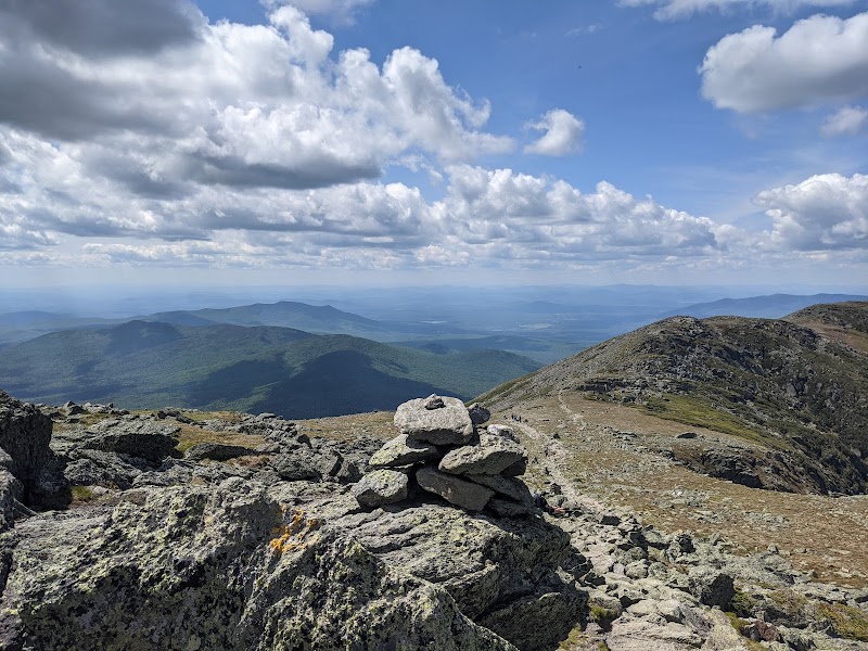
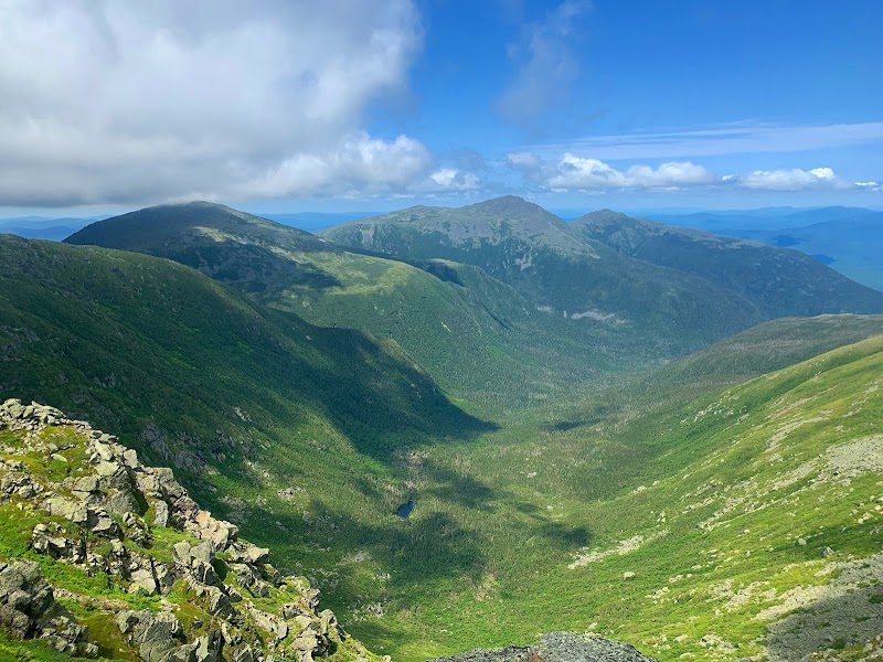
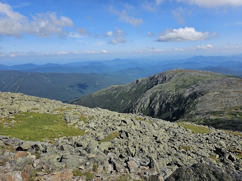
Mount Washington, standing at 6,288 feet, is the tallest peak in the Northeastern United States and is infamous for having the "World’s Worst Weather." While thousands of hikers attempt to summit it each year, the mountain’s unpredictable conditions, high winds, and challenging terrain make preparation essential. Whether you're a first-time hiker or an experienced mountaineer, this guide will equip you with everything you need to safely and successfully reach the summit.
The Legend of Mount Washington: History & Extreme Weather
Mount Washington’s reputation for extreme weather is well-earned. In 1934, the Mount Washington Observatory recorded a wind gust of 231 mph, a record that stood for over 60 years. The mountain regularly experiences hurricane-force winds, sudden temperature drops, and whiteout conditions, even in summer.
The White Mountains region has a rich history, from Native American legends to its role as a training ground for New England mountaineers. Today, it remains one of the most popular hiking destinations in the U.S., drawing adventure-seekers eager to test their limits.
Best Time to Summit & Key Challenges
Summer (June – September)
✅ Pros:
- Mild temperatures (40°F–70°F at lower elevations)
- Longer daylight hours
- Snow-free trails (usually by mid-June)
❌ Challenges:
- Rapid weather changes (sudden thunderstorms, 40°F temperature swings)
- High winds (30–60 mph on summit)
- Crowds (Tuckerman Ravine is especially busy)
Winter (November – April)
✅ Pros:
- Fewer hikers, more solitude
- Stunning winter scenery
❌ Challenges:
- Extreme cold (-20°F to -50°F wind chill)
- Avalanche risk in Tuckerman and Huntington Ravines
- Whiteout conditions and hurricane-force winds (100+ mph)
- Specialized gear needed (ice axe, crampons, winter layers)
⏳ Best Time to Hike:
- July – early September for first-time hikers
- January – March for experienced winter climbers
Best Routes to the Summit
Choosing the right trail depends on your experience level, fitness, and weather conditions.
1. Tuckerman Ravine Trail (Most Popular)
- Distance: 8.4 miles round trip
- Elevation Gain: 4,250 feet
- Estimated Time: 6–8 hours
- Best For: Summer hikers, experienced climbers in winter
🌟 Why Hike It? This is the classic Mount Washington ascent, offering breathtaking views of Tuckerman Ravine. However, it gets crowded and is dangerous in winter due to avalanches.
2. Lion Head Trail (Best for Winter)
- Distance: 8.6 miles round trip
- Elevation Gain: 4,250 feet
- Estimated Time: 6–8 hours
- Best For: Winter hikers, those avoiding avalanche zones
🌟 Why Hike It? The safest winter route avoids Tuckerman Ravine’s avalanche-prone slopes. In summer, it provides an alternate, less crowded path to the summit.
3. Huntington Ravine Trail (Most Challenging)
- Distance: 8.6 miles round trip
- Elevation Gain: 4,250 feet
- Estimated Time: 7–9 hours
- Best For: Technical climbers, not recommended for first-timers
⚠️ Warning: This scramble-heavy route includes steep rock faces and exposed ledges. Not safe in winter due to ice and avalanche danger.
4. Ammonoosuc Ravine Trail (Best for Scenic Views)
- Distance: 9 miles round trip
- Elevation Gain: 3,800 feet
- Estimated Time: 6–9 hours
- Best For: Hikers wanting a scenic, moderate route
🌟 Why Hike It? Offers stunning waterfalls and alpine scenery, and passes Lakes of the Clouds Hut, a good resting point.
Essential Gear & Preparation
Clothing (Layering is Critical!)
✅ Base Layer: Moisture-wicking (avoid cotton!)
✅ Mid Layer: Fleece or insulated jacket
✅ Outer Layer: Waterproof, windproof shell
✅ Pants: Durable hiking pants (insulated in winter)
✅ Footwear: Sturdy hiking boots (winter: insulated boots with crampons)
Must-Have Gear
🔹 Map, Compass, GPS (Don't rely on your phone—signal is unreliable!)
🔹 Trekking Poles (especially useful on steep descents)
🔹 Headlamp (Essential in case of late descent or bad weather)
🔹 First Aid Kit & Emergency Blanket
🔹 Water (at least 2–3 liters) & High-Calorie Snacks
⚠️ Winter Extras:
🔹 Ice Axe & Crampons
🔹 Goggles & Face Mask (wind protection)
🔹 Avalanche Beacon, Probe, & Shovel (if hiking avalanche-prone areas)
Safety & Rescue Considerations
- Check the Weather before starting (Mount Washington Observatory forecast).
- Turn Around If Needed – The summit is optional; getting back safely is mandatory.
- Know the Symptoms of Hypothermia & Altitude Sickness.
- Leave a Trip Plan with someone before heading out.
- Consider a Guided Hike if unsure about winter conditions.
🚨 Search & Rescue Costs: If you're unprepared, a rescue may cost thousands of dollars. Be smart—don’t underestimate the mountain.
Hidden Gems & Pro Tips
🏔 Best Sunrise Viewpoint: Lion Head Trail ridge.
📸 Best Photo Spot: Lakes of the Clouds Hut (incredible alpine scenery).
🌿 Avoid the Crowds: Start before 6 AM or choose Ammonoosuc Ravine for a quieter route.
Sustainability & Leave No Trace Principles
Mount Washington is home to fragile alpine ecosystems. Help preserve it by:
✅ Staying on marked trails (protects rare plants).
✅ Packing out ALL trash, including food scraps.
✅ Respecting wildlife and other hikers.
Conclusion & Call to Action
Summiting Mount Washington is an unforgettable adventure, but it demands respect and preparation. Whether you're tackling it in summer’s clear skies or winter’s brutal winds, following this guide will help you reach the summit safely and successfully.
📌 Next Steps:
🔗 Check the latest weather forecast at Mount Washington Observatory.
📲 Download The Adventure Collective App for real-time trail updates.
🗻 Start planning your climb today!
Mount Washington is a prominent peak in the northeastern United States, known for its challenging hiking and climbing trails, as well as extreme weather conditions. Its unique characteristics and status as the highest peak in the Northeastern U.S. make it a sought-after destination for outdoor enthusiasts.