Canyon Hiking & Scenic Views at Sinclair Creek Trail
Adventure Destination

Canyon Hiking & Scenic Views at Sinclair Creek Trail

Explore Sinclair Creek Trail near Radium Hot Springs for a moderate hike featuring canyon views, forest sections, and a creek waterfall. Accessible by car, this family-friendly route offers scenic mountain vistas and peaceful picnic spots best visited from late spring to early fall.

Hiking7.2/10Moderate
Photo Gallery

Category

Hiking

Typical Duration

2-4 hours

Difficulty

Moderate

About This Adventure Destination

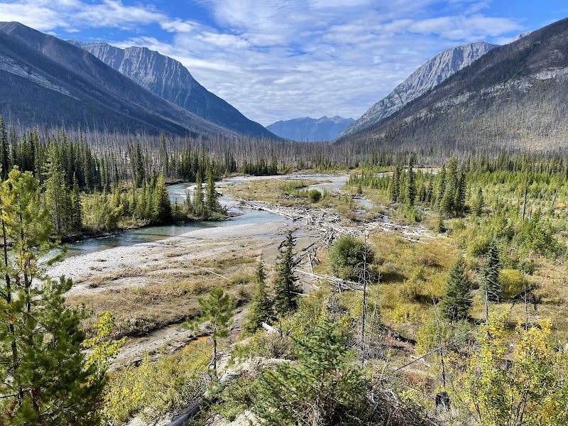
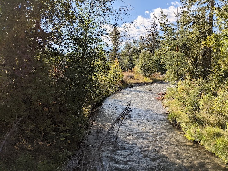
Sinclair Creek Trail is a notably scenic hiking destination located near Radium Hot Springs in British Columbia. The trail offers a refreshing mix of natural beauty and geological interest within the Kootenay region. What sets this trail apart is its descent into a striking river canyon, where hikers can enjoy panoramic mountain views, lush forest surroundings, and the approachable beauty of a creek running through rugged rock formations.

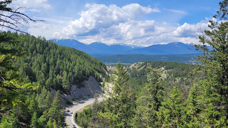
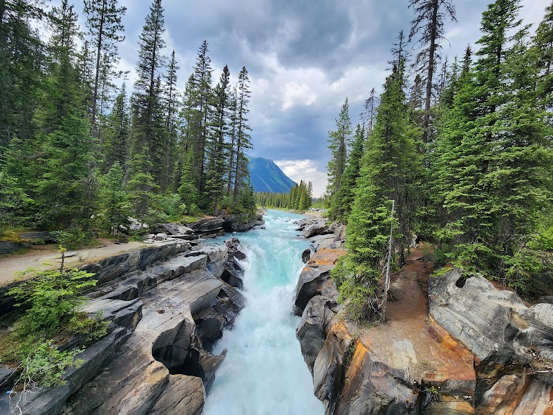
The trail begins with a challenging steep ascent climbing above the towering canyon walls, rewarding hikers with breathtaking vistas of the Purcell Mountain range and the nearby town. As the trail descends, it passes through dense forested areas and leads to a charming waterfall site along Sinclair Creek. The gorge carved by Sinclair Creek reveals layered sedimentary rocks that showcase the area’s geological history. In warmer months, the presence of cool creek water and shaded forest provides a pleasant contrast to the sunny open slopes.

Sinclair Creek Trail is also a family-friendly location, with moderate sections suitable for various skill levels, while still maintaining some portions that challenge more experienced hikers. Along the path, users may encounter resting benches and opportunities to appreciate local vegetation and occasional wildlife. The area has practical accessibility with nearby parking lots providing multiple entry points.

This trail is also culturally significant as it lies near Radium Hot Springs, a well-known spot for relaxation and healing waters. As part of the greater park system, Sinclair Creek Trail adds an adventurous complement for visitors looking to balance nature walks with the hot springs experience. The trail’s allure lies significantly in its natural features—the mix of canyon, creek, forest, and mountain views making it an exceptional destination for outdoor enthusiasts visiting British Columbia.


Editorial Assessment

Sinclair Creek Trail is rated as a worthwhile destination for outdoor enthusiasts seeking varied terrain with scenic canyon and mountain views. It offers a balance of natural features suitable for families and moderate hikers but lacks the extreme uniqueness or scale of the most iconic natural landmarks worldwide. This rating reflects its value as a local highlight with accessible geology and landscape rather than a globally distinctive natural wonder.
Canyon Hiking & Scenic Views at Sinclair Creek Trail

Adventure Guide to Canyon Hiking & Scenic Views at Sinclair Creek Trail

1

Experience Canyon Hiking & Scenic Views at Sinclair Creek Trail

  • Special Features:

    Explore Sinclair Creek Trail near Radium Hot Springs for a moderate hike featuring canyon views, forest sections, and a creek waterfall. Accessible by car, this family-friendly route offers scenic mountain vistas and peaceful picnic spots best visited from late spring to early fall.

  • Visitor Tips:

    Best time to visit is during Late Spring to Early Fall. Bring adequate water, appropriate outdoor gear, and camera.

  • Directions:

    ROTARY PARK, Radium Hot Springs, BC V0A 1M0, Canada

2

Exploring Near Radium Hot Springs, British Columbia

  • Local Insights:

    Offers direct access to top trails, protected natural reserves, and picturesque viewpoints across Radium Hot Springs, British Columbia.

  • Visitor Tips:

    Check local regulations, trail conditions, and weather before heading out.

3

Photography and Wildlife

  • Special Highlights:

    Capture panoramic sunrise and sunset views across the surrounding mountain terrain.

  • Visitor Tips:

    Arrive in early morning or late afternoon for the softest lighting and quieter trails.

Reviews

J
John William Wadea week ago

The best way to tackle this trail is from the parking lot across from Radium Hot Springs. It starts off at quite a steep ascent and with a fairly well-marked, narrow pathway. It is better to get the hard part out of the way first. There are some nice vista views once you get the peak of the trail. Once you descend into the forest where the river and eventually the Falls are, it is quite cool comparatively. BRING YOUR HIG SPRAY! THERE ARE MANY MOSQUITOES 🦟 BY THE RIVER. I would recommend that no child under 10 take on this hike. There are some tricky parts to it. The last portion of the hike is a little disappointing but fairly relaxing. After seeing the gorgeous Falls, you hike up the switchback trails for about 450m to a different small parking lot. You turn left and walk along the highway where the incredible gorge is in the rock that the highway goes through to enter the last descent to the Town. After that, though, you walk along the highway for about 850m to get back to the original parking lot, which is easy, but doesn't match the splendor of the other 90% of the hike. A decent 2 hour hike.

Y
Yohann EJ2 weeks ago

Great destination! Enjoyed the open trail and peaceful outdoor atmosphere.

S
Swetha Parvathaneni2 weeks ago

Beautiful views of the Sinclair Canyon with gushing waters and tall mountains :)

S
Swathi Guntaka2 weeks ago

Great destination! Enjoyed the open trail and peaceful outdoor atmosphere.

R
Rich LOUTH3 weeks ago

very easy walk. I would recommend bringing a higher quality camera with better exposure to get good photos of the bottom.

Nearby Adventures

Bookable Experiences

Raft ’n’ Ride: Class‑III Runs and High‑Alpine Mining Roads Above Radium0.38 mi
Radium Hot Springs, British Columbia

Raft ’n’ Ride: Class‑III Runs and High‑Alpine Mining Roads Above Radium

A six‑hour combo from Toby Creek’s Class I–III rapids to an 8,000‑foot ATV/SXS ascent to a turn‑of‑the‑century silver mining town, useful as a one‑day primer for planning logistics and what to bring.

0.38 miView Trips & Details →
Seven Lines, One Peak: Zip 'n' Ride Combo Over Dry Gulch to an 8,000‑ft Silver‑Mining Site0.38 mi
Radium Hot Springs, British Columbia

Seven Lines, One Peak: Zip 'n' Ride Combo Over Dry Gulch to an 8,000‑ft Silver‑Mining Site

A 6-hour combo that pairs a 7-line zip through Dry Gulch Valley with a 2.5-hour ATV/SXS ascent to a historic 8,000‑ft silver-mining town; this guide distills timing, kit, and on-route expectations.

0.38 miView Trips & Details →
Lake Windermere from the Deck: Anejo 24' Pontoon Rental in Athalmer7.61 mi
Athalmer, British Columbia

Lake Windermere from the Deck: Anejo 24' Pontoon Rental in Athalmer

Rent an easy-to-operate pontoon from Pete’s Marina for a 2–8 hour guided rental on Lake Windermere — this guide explains what to expect, what to bring, and the on-water rules.

7.61 miView Trips & Details →
Patron 22' Pontoon on Lake Windermere — a Columbia Valley perspective from the water7.61 mi
Athalmer, British Columbia

Patron 22' Pontoon on Lake Windermere — a Columbia Valley perspective from the water

Rent a Patron 22' pontoon (and other boats or SeaDoos) for 2–8 hour outings on Lake Windermere; the rental includes safety orientation and essential lifejackets and supports groups up to 13.

7.61 miView Trips & Details →
Lake Windermere by Ski Boat: a tight, easy-to-skipline day on the Columbia Valley water7.61 mi
Athalmer, British Columbia

Lake Windermere by Ski Boat: a tight, easy-to-skipline day on the Columbia Valley water

Rent the Diamante VR5 Bayliner 20' ski boat from Pete's Marina in Athalmer for 2–8 hour outings on Lake Windermere; this guide explains what to expect, what to bring and the practical rules that shape your day on the water.

7.61 miView Trips & Details →
Lake Windermere from a Pontoon: Slow-rolling the Columbia Valley on a Guinness 24'7.61 mi
Athalmer, British Columbia

Lake Windermere from a Pontoon: Slow-rolling the Columbia Valley on a Guinness 24'

Rent a 24' pontoon from Pete's Marina for a safe, easy way to explore Lake Windermere — options run 2–8 hours and accommodate groups up to 15.

7.61 miView Trips & Details →