Introduction
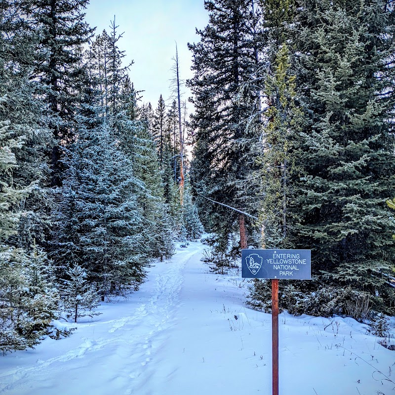
The Thunderer sits within Yellowstone National Park and is most often encountered on the Thunderer Cutoff Trail, a steep route that begins north of Pebble Creek Campground and climbs to Chaw Pass—the saddle between The Thunderer and Amphitheater Mountain. The trail is short in distance but gains significant elevation, ascending roughly 1,700 feet to the pass; because of that profile it reads as a compact, sustained climb rather than an easy stroll. The approach includes an early ford of Soda Butte Creek within the first quarter mile, a condition rangers often caution about in early summer.
Hikers move from mature forest into an area affected by the 1988 fires as they near Chaw Pass; breaks in the trees and the pass itself reveal the surrounding ridgelines and Amphitheater Valley. The trail continues over Chaw Pass and descends toward Cache Creek for those inclined to continue into the backcountry. Given the steepness, the creek crossing, and the remote feel described in the primary account, the Thunderer Cutoff is best understood as a short but earnest mountain outing that rewards fitness and route judgment.
Approach and the Soda Butte Creek Crossing
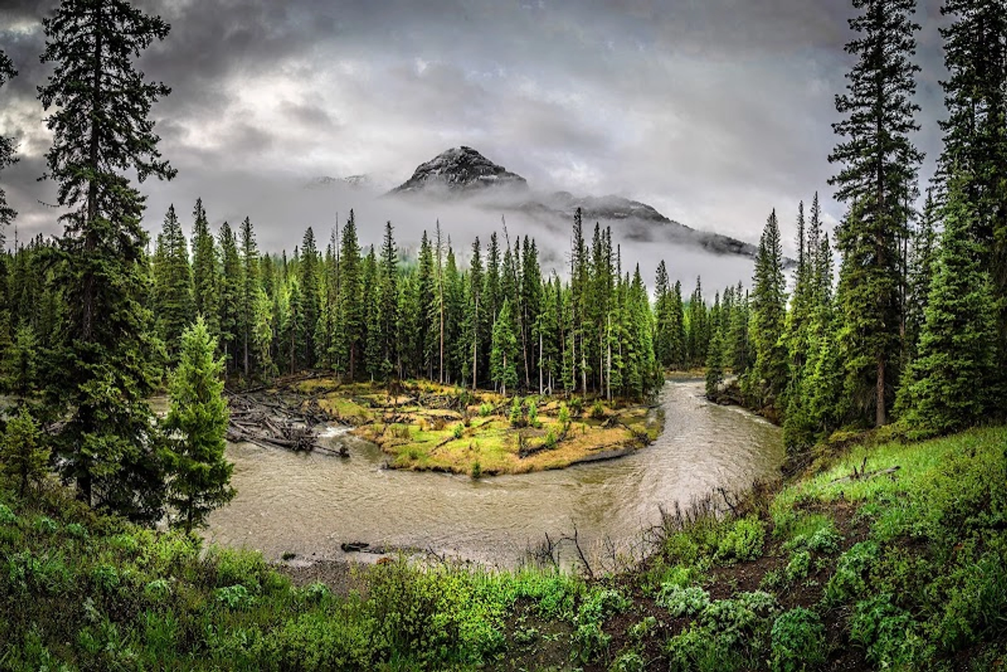
The trailhead sits on the south side of the road west of the Northeast Entrance, with parking in a roadside pullout; the trail begins by approaching Soda Butte Creek and requires a ford within the first quarter mile. The source cautions that the ford can be difficult in June and early July depending on snowpack and advises checking with a visitor center or ranger for safe crossing tips. Multiple recent visitors referenced the creek and the early wooded approach, noting the stream-side character of the lower trail.
Getting across the creek is the first substantive decision of the hike: high water can change route choice and safety considerations, and the crossing precedes the sustained climb that follows. Because the ford occurs so early, a hiker who turns around at the creek still has made an encounter with one of the route’s defining features.
The Climb to Chaw Pass: Sustained and Steep
Although only 7.4 miles round-trip according to the supplied account, the trail’s profile is decisive: the route climbs approximately 1,700 feet to Chaw Pass. The primary source emphasizes that the short mileage can be misleading—the trail is steep and should not be underestimated. That sustained ascent shapes equipment choices and the kind of fitness required.
The climb moves through mature forest lower down; as hikers ascend the burned zone from the 1988 fires becomes visible near the pass. These changing vegetation zones mark both progress and exposure: once above the treeline of the burned area, vantage points and the pass itself open views back to The Thunderer and Amphitheater Valley.
Ridgelines, Views, and Nearby Peaks
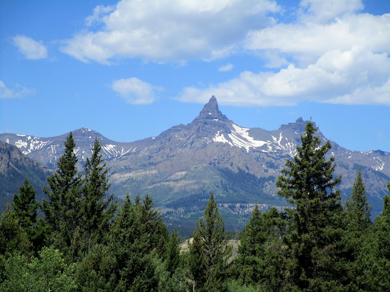
Breaks in the trees and Chaw Pass provide concrete view opportunities toward The Thunderer, Amphitheater Mountain, and nearby Abiather Peak, all named in the primary account. The pass functions as a visual fulcrum: it’s both a turnaround with panoramas and a low technical saddle that separates two valleys. The trail’s character changes at the pass, from ascent to a descending, backcountry feel toward Cache Creek.
One supplied review described the area as "beautiful," reinforcing the route’s appeal as a mountain outing with defined ridgelines to observe. The documented combination of forested lower slopes and burned, more open upper areas explains why vistas are intermittent rather than continuous.
Wildlife and Backcountry Context
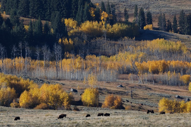
The primary source identifies bighorn sheep and mountain goats as species supported by the mountains in this corner of Yellowstone, and provides a brief identification note for mountain goats (white fur and beards; both sexes have horns). The account situates the trail within a wild corner of the park where those species are present, and thus frames typical wildlife etiquette and distance rules as essential planning considerations.
The source also repeats park regulations for safe distances: it is illegal to approach or remain within 100 yards of bears or wolves, while other animals must be kept at least 25 yards away. These regulations are part of the route’s context and affect route behavior from trailhead to pass.
Who the Thunderer Suits and Route Variations
The supplied article names intermediate and expert hikers as the primary audience, and specifically calls out campers staying at Pebble Creek Campground as likely users who test their legs on the route. For many travelers entering Yellowstone’s North Entrance and staying nearby, the Thunderer Cutoff provides a short but strenuous option for a day outing.
The route also offers a concrete decision point at Chaw Pass: hikers may turn around at the pass or continue over it and descend into the Cache Creek backcountry, changing the outing from an exposed climb-and-return to a longer, less-traveled descent.
Conclusion
The Thunderer Cutoff is a compact, physically steady climb that condenses alpine profile into a modest round-trip distance—its early Soda Butte Creek ford, steep ascent to Chaw Pass, and burned-to-forested transitions define the experience. It matters as a focused leg-testing route inside Yellowstone’s northeast quadrant: not a long expedition, but an outing that demands route judgment, attention to seasonal stream conditions, and basic backcountry awareness.
For hikers who want a short outing that nevertheless reads like a mountain climb, especially campers based at Pebble Creek Campground or travelers willing to accept a firm uphill on a seldom-used trail, the Thunderer Cutoff rewards effort with ridge access and a clear decision at Chaw Pass about whether to return or press over into Cache Creek.