Backpacking Lyell Canyon and Tuolumne Meadows
Adventure Destination

Backpacking Lyell Canyon and Tuolumne Meadows

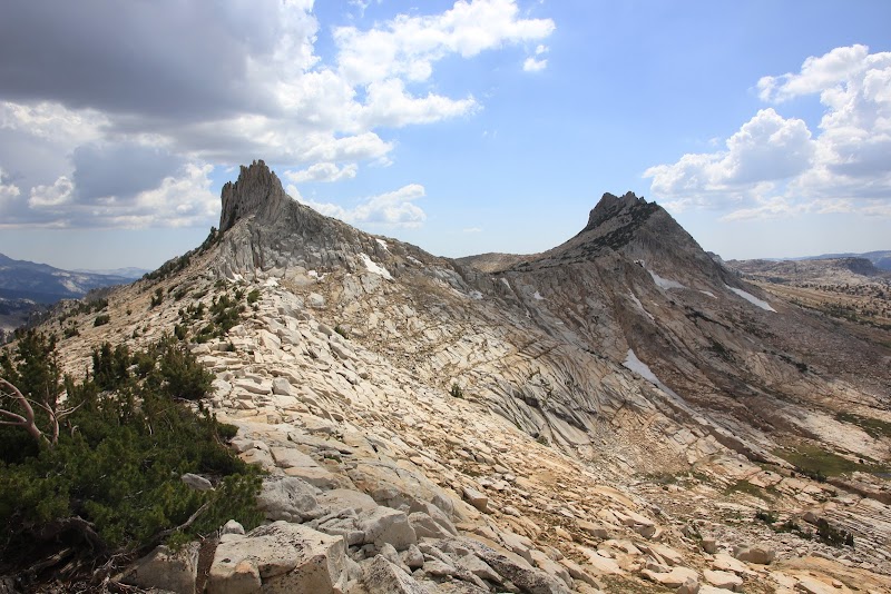
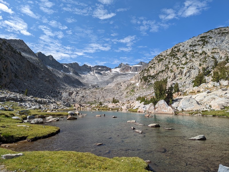
Explore the Lyell Canyon and Tuolumne Meadows on this 11-mile backpacking adventure. Ideal for moderate hikers, the trail offers serene meadows and alpine views. Better for backcountry explorers with fishing and wildlife viewing opportunities. Best from mid-July to early September.

Backpacking8.8/10Moderate
Photo Gallery

Category

Backpacking

Typical Duration

2-4 hours

Difficulty

Moderate

About This Adventure Destination

Introductory Overview

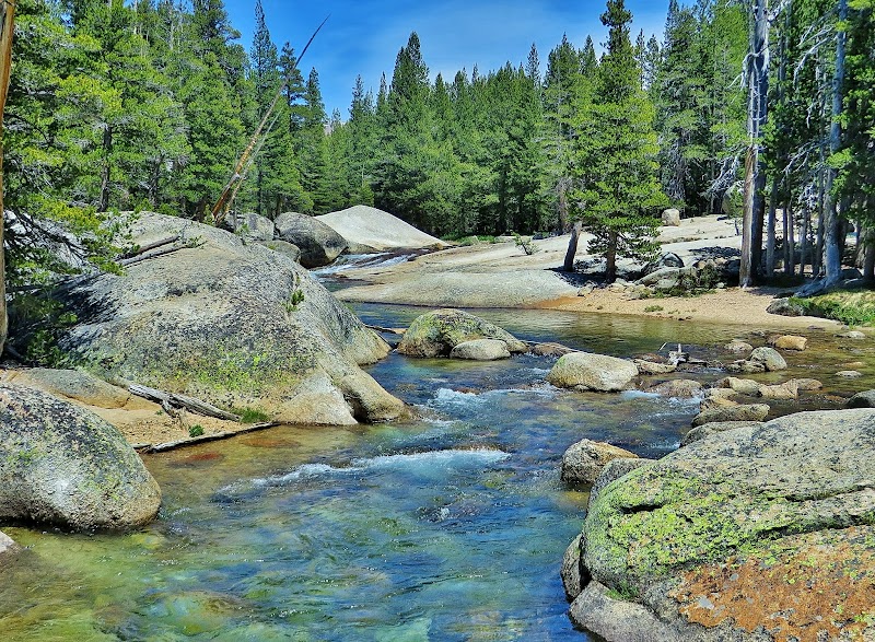
Backpacking Lyell Canyon, located in Tuolumne Meadows of Yosemite National Park, offers a serene and stunning high-country experience. This relatively gentle trail, following the Lyell Fork of the Tuolumne River, is ideal for both beginner and experienced backpackers. Known for its open meadows, meandering rivers, and dramatic granite peaks, Lyell Canyon is the gateway to the John Muir Trail (JMT) and the Pacific Crest Trail (PCT). The route is a showcase of the area’s ecological diversity, from alpine forests to pristine waterways. The manageable terrain and awe-inspiring views make it a must-do in the heart of Yosemite’s wilderness.

Editorial Assessment

The Lyell Canyon and Tuolumne Meadows offer stunning alpine views, unique geological formations, and a serene wilderness experience, making it an appealing destination for outdoor enthusiasts. Its combination of natural beauty and access to various hiking trails provides a memorable adventure in the Sierra Nevada.
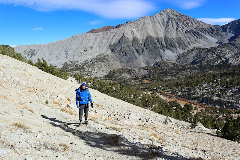
Backpacking Lyell Canyon and Tuolumne Meadows

Adventure Guide to Backpacking Lyell Canyon and Tuolumne Meadows

1

1. Tuolumne Meadows to Donohue Pass (Approx. 11 Miles)

  • Details:

    Start at the Tuolumne Meadows Wilderness Center trailhead and follow the river south. The trail gradually ascends through Lyell Canyon, providing excellent opportunities for wildlife spotting and photography. By mile 9, you'll encounter a steeper ascent leading toward Donohue Pass (11,056 ft), the border of Yosemite and Ansel Adams Wilderness. The sweeping views from the pass are a top highlight, showcasing alpine lakes, rugged peaks, and distant valleys. 2. Camping Along Lyell Fork

  • Details:

    Backcountry camping is permitted with a valid wilderness permit. Look for designated legal sites at least 100 feet from water to help preserve the ecosystem. Popular spots include areas near Ireland Creek or in the upper Lyell Canyon, where you can enjoy clear night skies and the soothing rush of the river. 3. Fishing Opportunities

  • Details:

    Lyell Canyon offers some of the best backcountry fishing in Yosemite. The river is home to rainbow, brook, and brown trout. The best fishing spots include deeper pools along the Lyell Fork, particularly in the quieter northern stretches of the canyon. Remember, a California fishing license is required.

2

Local Insights

  • Details:

    Cultural Tip: The area is part of the ancestral homeland of the Ahwahneechee and Mono tribes. Be mindful of its historical significance by following Leave No Trace principles.

  • Details:

    Wildlife Alert: Mule deer frequent the canyon, while black bears are common—always store food in provided bear canisters.

3

Visitor Tips

  • Details:

    Best Time to Visit: Mid-July to early September, when the snow has melted, and wildflowers bloom.

  • Details:

    What to Bring: Backpacking essentials, bear canister, water filter, layers for cold nights, and mosquito repellent.

  • Details:

    Driving Directions: From Yosemite Valley, take Tioga Road east for about 1.5 hours (54 miles) to the Tuolumne Meadows Wilderness Center.

Reviews

B
Bryce Schaefer2 years ago

Epic exit to iconic Yosemite

C
Cathy Cronin Pastrano4 years ago

I got to backpack Donohue Pass from the Tuolumne Meadows trail head in 1972. It was a fabulous experience that I have never forgotten. I always thought I would do it again, but with so many phenomenal places to backpack in the Sierra and the Trinity Alps, I never got the chance.

M
Michael Harlowa year ago

Hiked this as the first of many passes on the John Muir Trail. Beautiful, but the winter of 2022 created a lot of avalanches which caused numerous trees to be snapped, bent, and twisted. Lots of water along the trail with several lakes. You have to have a Donohue Pass eligible permit from Yosemite National Park Wilderness Center to hike this pass.

W
Will Larson5 months ago

Great destination! Enjoyed the open trail and peaceful outdoor atmosphere.

B
Brandon Luther4 years ago

Great views not much snow

Nearby Adventures

Bookable Experiences

Groveland to Yosemite: Hardtail Rentals for Self-Guided Mountain Rides6.91 mi
Groveland, California

Groveland to Yosemite: Hardtail Rentals for Self-Guided Mountain Rides

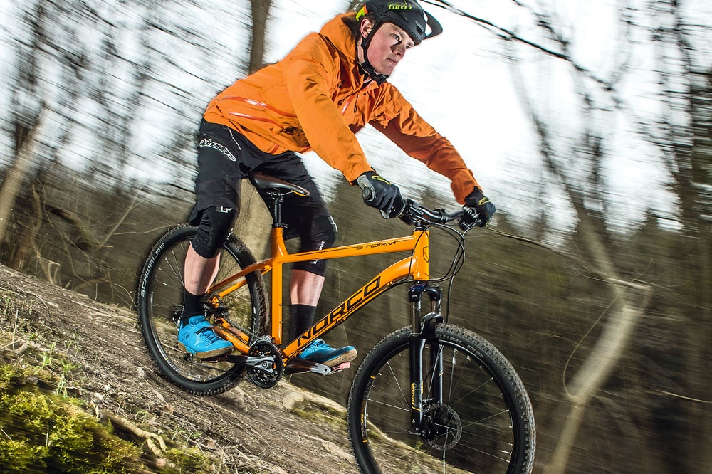
Rent a Norco Storm or a Specialized Rockhopper in downtown Groveland for 1–3 day outings into Stanislaus National Forest and sightseeing in Yosemite Valley; pickup is at 11892 Ponderosa Lane.

6.91 miView Trips & Details →
Lake Time at 7,000 Feet: Half-Day Boat Rentals from Twin Lakes Resort11.0 mi
Bridgeport, California

Lake Time at 7,000 Feet: Half-Day Boat Rentals from Twin Lakes Resort

A concise guide to Twin Lakes Resort’s half-day boat rentals—hours, fleet options, rules, and what to bring to make the most of a short alpine outing.

11.0 miView Trips & Details →
Red Peak Pass: Crossing Yosemite’s Clark Range on a Solitary High‑Sierra Loop12.2 mi
Yosemite National Park, California

Red Peak Pass: Crossing Yosemite’s Clark Range on a Solitary High‑Sierra Loop

A 6‑day, 51‑mile backpacking loop operated by Discovery Treks that climbs to Red Peak Pass—above 11,000 feet—and threads rarely visited meadows and alpine lakes.

12.2 miView Trips & Details →
A‑Frame Evenings at Mountain Cabin B, Mammoth Lakes12.3 mi
Mammoth Lakes, California

A‑Frame Evenings at Mountain Cabin B, Mammoth Lakes

A two‑story A‑frame at Red's Meadow Resort with a kitchenette, full bathroom, and outdoor fire pit—an intimate stay for groups up to seven.

12.3 miView Trips & Details →
A razor‑thin ridge to Yosemite’s panorama: Clouds Rest in a day12.7 mi
Groveland, California

A razor‑thin ridge to Yosemite’s panorama: Clouds Rest in a day

A strenuous, 14.5‑mile round‑trip hike from Highway 120 to the Clouds Rest summit that delivers true 360‑degree views of Yosemite—this guide lays out what to expect, what to pack, and who should go.

12.7 miView Trips & Details →
Above the Valley: A Four‑Day Push to Clouds Rest’s 9,930‑Foot Panorama13.3 mi
Yosemite National Park, California

Above the Valley: A Four‑Day Push to Clouds Rest’s 9,930‑Foot Panorama

A guided, four‑day backpacking tour that walks you into Yosemite Wilderness and up to the 9,930‑ft summit of Clouds Rest—this guide explains the route, key views and what to expect.

13.3 miView Trips & Details →