Hiking the Foothills Trail in Oconee County
Adventure Destination

Hiking the Foothills Trail in Oconee County

Explore the 77-mile Foothills Trail in Oconee County. This moderately challenging hike features stunning landscapes, including waterfalls and dense forests. Best in spring and fall for cooler weather and vibrant foliage.

Hiking7.5/10Moderate
Photo Gallery

Category

Hiking

Typical Duration

2-4 hours

Difficulty

Moderate

About This Adventure Destination

The Foothills Trail is one of the most scenic and rewarding long-distance hikes in the Southeast. Spanning approximately 77 miles from Oconee State Park to Table Rock State Park, this trail traverses the stunning Blue Ridge Escarpment, providing hikers with breathtaking waterfalls, dense forests, and diverse wildlife. Oconee County marks the southwestern terminus of the trail, making it a prime starting point for adventurers. Whether tackling the full trail or exploring shorter sections, hikers will find a well-maintained path with captivating scenery and challenging terrain.

Editorial Assessment

The Foothills Trail in Oconee County offers a beautiful hiking experience with lush scenery and picturesque waterfalls. While it's a popular spot for outdoor enthusiasts, it doesn't stand out as globally unique compared to other natural landmarks.
Hiking the Foothills Trail in Oconee County

Adventure Guide to Hiking the Foothills Trail in Oconee County

1

#

  • Highlights: #
2

Oconee State Park to Chattooga River Section

  • Location: Trailhead at Oconee State Park, SC
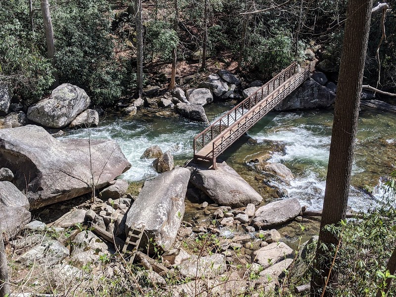
  • Why It’s Special: This **14.2-mile** section features **gentle inclines, hardwood forests, and scenic river crossings**. It passes through the historic Chattooga River corridor, known for its outstanding natural beauty.
  • Key Features: Trail shelters, accessible water sources, and well-marked paths.
3

Laurel Fork Falls

  • Location: Accessible via a side trail near mile **30**
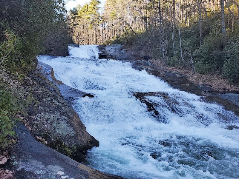
  • Why It’s Special: This **80-foot cascading waterfall** tumbles into Lake Jocassee, creating a picturesque setting for a rest stop.
  • Key Features: The hike to the falls is relatively moderate, making it a popular **camping and photography** spot.
4

Whitewater Falls Overlook

  • Location: Built-in overlook near mile **35**
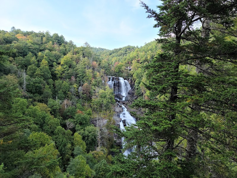
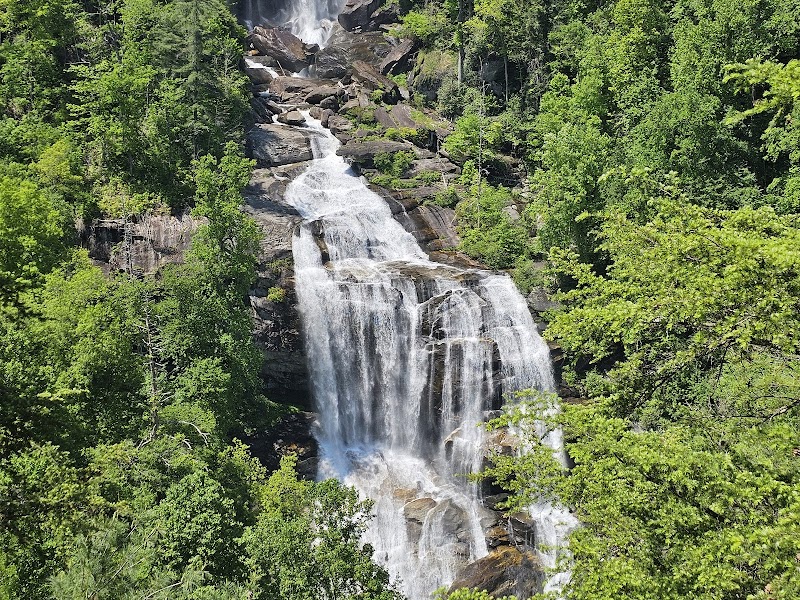
  • Why It’s Special: Offers a panoramic view of **Whitewater Falls**, the highest waterfall in the eastern U.S., at **411 feet**.
  • Key Features: Benches, scenic rest stop, and fantastic **photo opportunities**.
5

Local Insights

  • Details: The Foothills Trail was completed in the **1980s** and is maintained by the **Foothills Trail Conservancy**.
  • Details: Wildlife includes **black bears, white-tailed deer, and wild turkeys**—always store food properly when camping.
  • Details: The trail frequently crosses the **North Carolina-South Carolina border**, offering diverse landscapes.
6

Visitor Tips

  • Best Time to Visit: Spring and fall offer **cooler temperatures** and **vivid foliage**. Summers can be hot and humid.
  • What to Bring: Sturdy hiking boots, **plenty of water**, bug spray, and a detailed trail map.
  • Driving Directions: Oconee State Park is a **15-minute drive west** of Walhalla, SC, via Highway 107.

Reviews

S
Sergio Scheveloffa year ago

Great destination! Enjoyed the open trail and peaceful outdoor atmosphere.

C
caroline milburn3 months ago

Creation is breathtaking!! Five stars!! Trailwise .. it's about 6 miles and some change. Most of the blazes are easy to spot. Once you get about .6 miles to the upper falls part, the trail marks are harder to see. We had to ask people for directions if the trail did continue.

D
Derrick Perry9 months ago

Nice day for a beautiful hike!

M
Marcus A.a year ago

Beautiful area....nice trail.

S
Stanley Stasiewicza year ago

A pretty easy trail. Hiked to Hilliard Falls and back. According to Strava it was almost 12 miles round trip. We had great weather.

Nearby Adventures

Bookable Experiences

Lake Keowee at Dusk: A 90‑Minute Tropical Cruise Past Waterfalls and Mountain Vistas17.6 mi
Six Mile, South Carolina

Lake Keowee at Dusk: A 90‑Minute Tropical Cruise Past Waterfalls and Mountain Vistas

A 90-minute Lake Keowee cruise that threads tranquil water, waterfalls and mountain views — this guide explains what to expect and how to prepare.

17.6 miView Trips & Details →
Secluded Half-Day Fly Fishing on Private Chauga River Waters7.82 mi
Salem, South Carolina

Secluded Half-Day Fly Fishing on Private Chauga River Waters

A four-hour, private-water fly-fishing outing on the Chauga River near Salem — useful for planning booking, group size, and what to expect on this managed stretch.

7.82 miView Trips & Details →
Flatwater Freedom: Day SUP Rentals Across Transylvania County’s Lake Network15.0 mi
Transylvania County, North Carolina

Flatwater Freedom: Day SUP Rentals Across Transylvania County’s Lake Network

Day, two-day, and three-day stand-up paddleboard rentals delivered to local lakes with a brief lesson for beginners—this guide explains how to reserve, what to expect, and which boards suit remote outings.

15.0 miView Trips & Details →
Four Hours on Lake Jocassee: Private Waterfalls, Swim Time, and Quiet Company8.53 mi
Salem, South Carolina

Four Hours on Lake Jocassee: Private Waterfalls, Swim Time, and Quiet Company

A private, four-hour boat charter that guides your group to Lake Jocassee’s major waterfalls, offers swim time, and includes discussion of the lake’s history.

8.53 miView Trips & Details →
Close Encounters: Capybaras and Coffee at Capyfriends Cafe in Helen46.7 mi
Helen, Georgia

Close Encounters: Capybaras and Coffee at Capyfriends Cafe in Helen

A short, per-person visit to meet and interact with gentle capybaras—this guide lays out what to expect, where to meet, and the practical details for the experience.

46.7 miView Trips & Details →
Cleaning the Upper French Broad: A Day of Canoes, Community and Concrete Results in Rosman12.8 mi
Rosman, NC

Cleaning the Upper French Broad: A Day of Canoes, Community and Concrete Results in Rosman

A long-running volunteer event that pairs a free canoe ride with breakfast, lunch and coordinated river clean-up to remove tires, bags and other debris from the Upper French Broad.

12.8 miView Trips & Details →