Violet Crown Trail for Runners in Austin
Violet Crown Trail for Runners in Austin
The Violet Crown Trail is a unique running experience located in Austin, Texas, that offers a blend of natural beauty and urban accessibility. Spanning approximately 30 miles, this trail winds through scenic landscapes, showcasing the regions' rich flora and fauna. Its importance lies in providing runners with a perfect escape from city life while promoting an active lifestyle amidst the stunning backdrop of the Texas Hill Country.
Adventure Guide To Violet Crown Trail for Runners
- Trailheads: The Southern Trailhead is located at the intersection of Highway 290 and the MoPac Expressway, while the Northern Trailhead is close to the intersection of Slaughter Lane and the Lantana neighborhood. Both access points allow runners to choose their preferred distance.
- Scenic Views: As runners traverse the trail, they will encounter beautiful oak trees, wildflowers, and hilltop vistas that provide stunning views of the surrounding areas, particularly around the Zilker Park and Barton Creek regions.
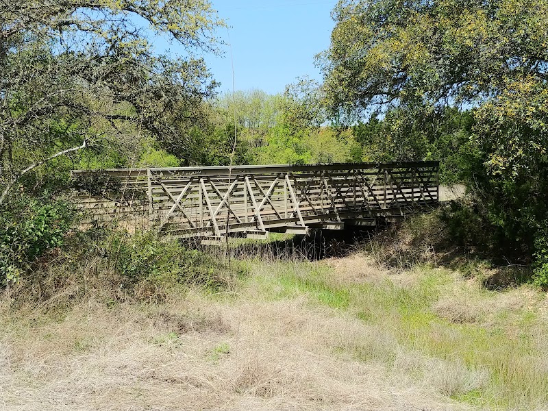
- Trail Features: The trail consists of packed gravel and natural surfaces, making it accessible for various fitness levels. There are several rest areas with benches and amenities along the route, ensuring runners can take short breaks and hydrate.
Local Insights
The Violet Crown Trail is integral to Austin's commitment to outdoor recreation, reflecting the community's passion for fitness and nature. The trail is also part of a larger vision that aims to connect residents with the natural landscape, encouraging preservation efforts and sustainable practices.
Visitor Tips
- Best Times to Visit: Early mornings or late evenings during the cooler months (October to April) are perfect for running. Summer can be hot, with temperatures rising, so early starts are advisable.
- What to Bring: Light clothing, plenty of water, and sunscreen. It’s also wise to have a map of the trail on your phone, as some areas can be unmarked.
- Driving Directions: From downtown Austin, it takes approximately 20 minutes to reach either trailhead by car. Head south on 35, merge onto Highway 290, and follow the signs to the respective trailheads.
Adventure Map
Reviews
Troy Meadors3 months ago
Would not advise this trail there's concrete steps toward the finish literally carried a bike all the way up almost dehydrated and died...if you are biking my suggestion is do not here
Miriam Marcelinea year ago
Lot of cyclists/bicycles.
Wide trail.
Some paved and some crushed rock.
Fairly clean this morning ~ first time
Richard Lin3 years ago
The best trail in Texas hands down. It cuts a beautiful swathe from downtown Austin thirty plus miles south across dried river beds, rock walls, and dense forest. Intuitive trail design and constant upkeep. I'd post more photos if I weren't so busy hiking. Gorgeous.
Deepak2 years ago
One of the scenic trails located in South Austin. It stretches from Dick Nicholas park and until Latta drive & Slaughter lane
Jacob Evans3 years ago
I used Alltrails to track info on the hike.