Barton Creek Greenbelt Trail Running in Austin
Barton Creek Greenbelt Trail Running in Austin
Barton Creek Greenbelt is a standout destination for trail runners in Austin, Texas. Known for its stunning natural beauty and extensive trail network, this urban oasis presents an ideal landscape for both seasoned athletes and casual joggers. The Greenbelt offers a unique blend of rugged terrain, scenic views, and the chance to connect with Austin’s vibrant outdoor culture.
Adventure Guide To Barton Creek Greenbelt Trail Running
-
Main Trail Loop: The Main Trail Loop stretches approximately 7.9 miles one way and features diverse terrain that includes rocky paths, shaded areas, and open fields. This loop is perfect for those seeking a robust workout while surrounded by lush greenery. Runners will appreciate scenic vistas of the creek and limestone cliffs along the route.
-
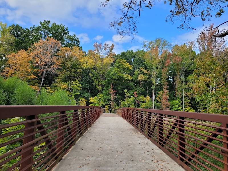
One-Legged Bridge Access: For a unique challenge, head to the One-Legged Bridge area. This section is famous for its steep inclines and descents, rewarding runners with breathtaking views of Barton Creek. Bring your camera to capture the stunning limestone formations and vibrant wildflowers in spring.
-
Campbell’s Hole: An old favorite, Campbell’s Hole is a popular swimming spot that doubles as a serene resting point for trail runners. After your run, take a refreshing dip in the cool waters, providing the perfect recovery after an exhilarating workout.
Local Insights
Barton Creek Greenbelt has a rich history tied to the preservation of Austin’s natural landscapes. The area was once part of a larger ranching territory and has been transformed into a beloved urban park, hosting various community events and outdoor activities. Engaging with fellow runners can provide insights into the trail’s hidden gems and tips for improving your running experience.
Visitor Tips
-
Best Times to Visit: Early mornings or late afternoons are ideal to avoid peak heat and crowds. Weekdays generally have fewer visitors than weekends.
-
What to Bring: Water bottles, trail shoes, sunscreen, and insect repellent. Additionally, consider hydration packs for longer runs.
-
Driving Directions: From downtown Austin, take MoPac Expressway, exit at Barton Skyway, and follow signs to the Greenbelt parking area; expect about a 15-20 minute drive.
Adventure Map
Reviews