Ride the Maryville-Alcoa Greenway
Ride the Maryville-Alcoa Greenway
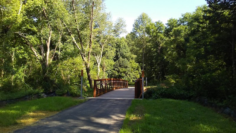
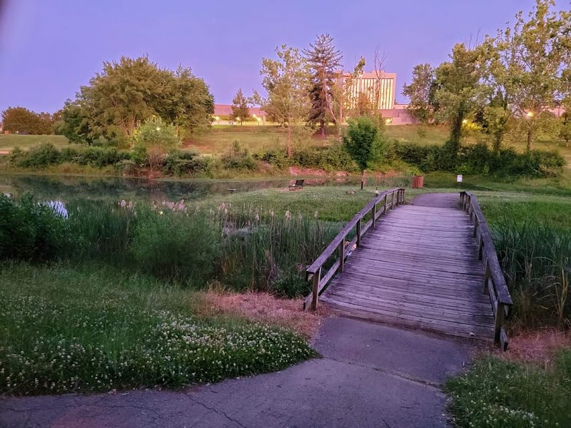
The Maryville-Alcoa Greenway is a scenic path that offers a fantastic opportunity for outdoor enthusiasts looking to explore the beauty of East Tennessee. Stretching over 15 miles, the greenway connects the cities of Maryville and Alcoa, providing a safe and accessible route for pedestrians, cyclists, and anyone looking to enjoy the great outdoors. Here's everything you need to know to make the most of your visit to this charming locale.
Introduction
The Maryville-Alcoa Greenway is a testament to community planning and a love for recreational activities. It serves as a vital link between the two cities, offering picturesque views, access to local parks, and a chance to witness the natural beauty of the region. Whether you're interested in a leisurely stroll, a vigorous bike ride, or simply seeking a tranquil spot to relax, the Greenway has something for everyone.
Why Visit?
- Accessibility: Easily navigable paths that cater to all levels of physical fitness.
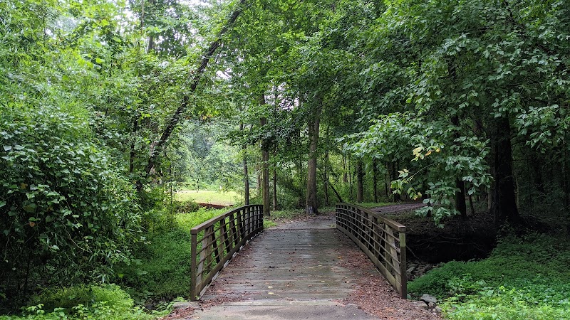
- Scenery: Enjoy the stunning backdrop of the Smoky Mountains, lush landscapes, and local wildlife.
- Recreation: Ideal for biking, walking, running, and inline skating.
- Family-Friendly: Safe spaces for children to play and explore.
- Cultural Touchpoints: Access to historical landmarks and local events in Maryville and Alcoa.
What You Need to Know
- Parking: Ample parking is available at various entry points along the Greenway.
- Facilities: Restrooms, picnic areas, and water fountains are conveniently located throughout.
- Safety: The trail is well-maintained, but visitors are encouraged to stay alert and adhere to posted guidelines.
Local Knowledge
- Best Times to Visit: Early morning or late afternoon to avoid the midday heat.
- Wildlife: Keep an eye out for local bird species, especially during migration seasons.
- Community Events: The Greenway hosts several annual events, including charity runs and environmental clean-ups.
Driving Directions from Knoxville
To reach the Maryville-Alcoa Greenway from Knoxville, take US-129 S towards Alcoa. The journey typically takes about 20-30 minutes, depending on traffic. Exit at the appropriate point for your desired starting location along the Greenway. There are multiple access points, so planning ahead based on your interests is advisable.
Conclusion
The Maryville-Alcoa Greenway is more than just a pathway; it's a gateway to experiencing the natural and cultural richness of East Tennessee. Whether you're a local resident or a visitor from afar, the Greenway offers a unique blend of recreational activities, scenic beauty, and community spirit. Don't miss the chance to discover it for yourself.