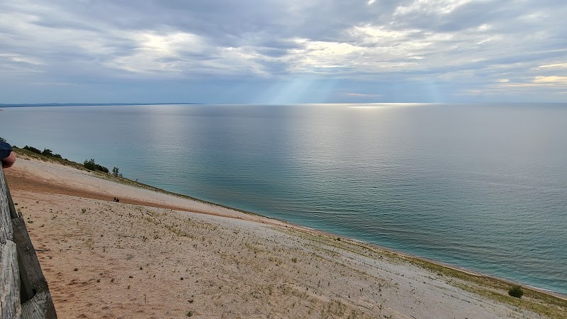
Wilderness Landscape & Natural Heritage
Au Sable State Forest is a vast expanse of public land located primarily in northeastern Michigan’s Lower Peninsula, covering approximately 575,000 acres of forested terrain. The forest is defined by its namesake, the Au Sable River, one of Michigan’s most popular trout streams, known for its crystal-clear waters and excellent fishing opportunities. The geography includes rolling hills, dense stands of hardwoods and pines, extensive wetlands, and several smaller rivers and streams that feed into the Au Sable River system. The forest includes portions of the Highbanks Recreation Area as well as multiple campgrounds and trail systems, providing ample opportunities for hiking, mountain biking, horseback riding, and cross-country skiing in winter. Historically, the forest was shaped by extensive logging in the late 19th and early 20th centuries, which has since been followed by reforestation and management efforts emphasizing habitat restoration and sustainable timber harvest. Wildlife is abundant, with populations of white-tailed deer, black bear, wild turkey, and a variety of migratory birds. The forest also includes areas designated for wilderness and natural river protection, enhancing the ecological integrity of the region. Visitors are drawn to its quiet, less-developed nature compared to Michigan’s more heavily trafficked parks, with ample access points for paddling the Au Sable River, which is also famed for canoeing and kayaking. Seasonal interest includes vibrant fall foliage, peaceful snowy landscapes in winter, and wildflower blooms in spring. Au Sable State Forest’s combination of water features, extensive trail networks, and quiet campsites makes it a versatile destination for outdoor enthusiasts seeking both adventure and solitude.