Wilderness Landscape & Natural Heritage
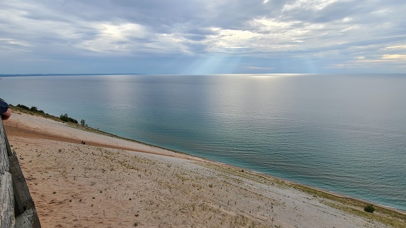
The Huron-Manistee National Forests combine two formerly separate forests into one administrative unit and cover approximately 978,000 acres in the northern Lower Peninsula of Michigan. These forests are characterized by a varied landscape of hardwood and conifer stands, rolling sand dunes, wetlands, rivers, and numerous lakes. The Huron portion lies primarily in the eastern Lower Peninsula while the Manistee section extends across the western Lower Peninsula, both providing critical habitat for species such as black bears, white-tailed deer, bald eagles, and timber wolves. Historically, these lands were logged extensively in the late 19th and early 20th centuries, leading to reforestation efforts and eventual federal protection beginning in the early 1900s. While primarily forested, the area also contains remnants of old-growth forests, sand dunes along Lake Michigan, and the Au Sable River, highly regarded for its trout fishing and scenic beauty.
Recreational opportunities are abundant, including more than 500 miles of ATV and snowmobile trails, hiking routes like the North Country Trail, paddling on rivers and lakes, and winter activities such as cross-country skiing and snowshoeing. The Huron-Manistee National Forests also feature several campgrounds, rustic cabins, and interpretive programs. Notable landmarks include the Nordhouse Dunes Wilderness along Lake Michigan, a region of pristine beaches and dunes, as well as the scenic Rifle River and the Pere Marquette and Manistee River systems. Visitors appreciate the blend of quiet natural settings with well-established trail systems and water access, making the forests a year-round destination for outdoor enthusiasts and nature lovers.