Bu Gia Map National Park wilderness guide
National Park · Binh Phuoc Province, Vietnam

Bu Gia Map National Park

Bu Gia Map National Park is a vital tropical forest area in southern Vietnam known for its rich biodiversity, extensive hiking trails, and unique wildlife viewing opportunities.

National Park37,0004+ Trails

Designation

National Park

Total Wilderness Area

37,000

Elevation / Terrain

Diverse Wilderness

Field Editorial Guide

About Bu Gia Map National Park

Bu Gia Map National Park is a vital tropical forest area in southern Vietnam known for its rich biodiversity, extensive hiking trails, and unique wildlife viewing opportunities.

Wilderness Landscape & Natural Heritage

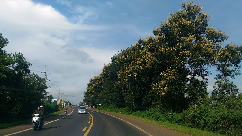
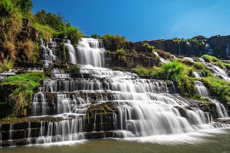
Located in Binh Phuoc Province in southern Vietnam, Bu Gia Map National Park spans a tropical lowland forest with a complex network of hills, valleys, and streams. Established in 2002, it covers a landscape that serves as an important refuge for numerous endangered and endemic species, including elephants, gibbons, gaur (Indian bison), and rare orchids. The park's ecology features a diverse range of flora including broadleaf evergreen forests, mixed deciduous forests, and areas of bamboo and hardwood species. Historically, the park area was used as a military base during the Vietnam War, and today it is an important site for conservation and ecotourism. Visitors to Bu Gia Map can engage in activities such as trekking through dense forests, bird watching, and camping beside waterfalls and natural pools. Key landmarks include the scenic waterfalls and river pools that provide refreshing stops for hikers. The park’s biodiversity and relatively undisturbed habitat make it an excellent destination for wildlife photography and nature study. Due to its tropical climate, the park is lush and green year-round, but the dry season from November to April offers the best conditions for exploration. Infrastructure and visitor services are basic, encouraging a camping and backcountry experience for those seeking adventure and solitude in Vietnam’s natural environment.
Field Guide · National Park
Adventure Destinations

Notable Destinations Near Bu Gia Map National Park

Scenic viewpoints, outdoor landmarks, and notable points of interest within 60 miles.

Key Wilderness Highlights

✦ Elephant herds roaming the forest interior✦ Scenic waterfalls and natural freshwater pools✦ Diverse tropical flora including rare orchids✦ Remote trekking routes through primary forest
Wilderness Recreation

Outdoor Adventures in Bu Gia Map National Park

Explore curated guides for top outdoor sports, trail networks, and wilderness activities.

Park Recreation

Hiking

Available in Bu Gia Map National Park
Park Recreation

Camping

Available in Bu Gia Map National Park
Park Recreation

Wildlife Viewing

Available in Bu Gia Map National Park
Park Recreation

Bird Watching

Available in Bu Gia Map National Park
Park Recreation

Photography

Available in Bu Gia Map National Park
The Ranger Station

Visitor Logistics & Essential Planning

Everything you need to know about entrance passes, seasons, visitor centers, road transit, and wildlife safety in Bu Gia Map National Park.

Passes & Fees

Entrance Requirements & Interagency Passes

Entry permit required; obtainable at park headquarters.

Wilderness Checklist

Carry paper topographic map & compass in remote zones.
Store all food and scented items in approved bear canisters.
Check wildfire / smoke advisories before backcountry departure.
Pack out everything you pack in (Leave No Trace).
Wilderness Stays

Camping & Overnight Stays in Bu Gia Map National Park

Frontcountry developed campgrounds, backcountry wilderness permit guidelines, and starry-night camping advice.

Bu Gia Map Central Campground

Basic campsite near park headquarters with access to trails and water sources.

Waterfall Base Camp

Secluded camping area near one of the park’s waterfalls, accessible by hiking trails.

Adventure Basecamps

Gateway Towns Near Bu Gia Map National Park

Stay, dine, and gear up in these mountain towns and scenic basecamps surrounding the park.

Dak Nong, Vietnam
⌖ 25.23 miles
Gateway Basecamp

Dak Nong, Vietnam

Dak Nong is a quiet highland province with dense forests, beautiful waterfalls, and rich ethnic culture. Outdoor lovers can hike, bike, paddle, and experience authentic village life away from busy tourist routes.

December to April (dry season)
Explore Town
Sen Monorom, Mondulkiri
⌖ 33.61 miles
Gateway Basecamp

Sen Monorom, Mondulkiri

Sen Monorom in Mondulkiri offers outdoor enthusiasts nature-filled escapades with elephant trekking, hiking, and waterfall excursions surrounded by the pristine Cambodian highlands.

November to March
Explore Town
Nam Cát Tiên, Đồng Nai
⌖ 36.89 miles
Gateway Basecamp

Nam Cát Tiên, Đồng Nai

Nam Cát Tiên offers jungle hiking, thrilling wildlife watching, and peaceful paddling in Vietnam’s biologically rich rainforest. Ideal for nature lovers eager to explore remote trails and diverse habitats.

December to April
Explore Town