Wilderness Landscape & Natural Heritage
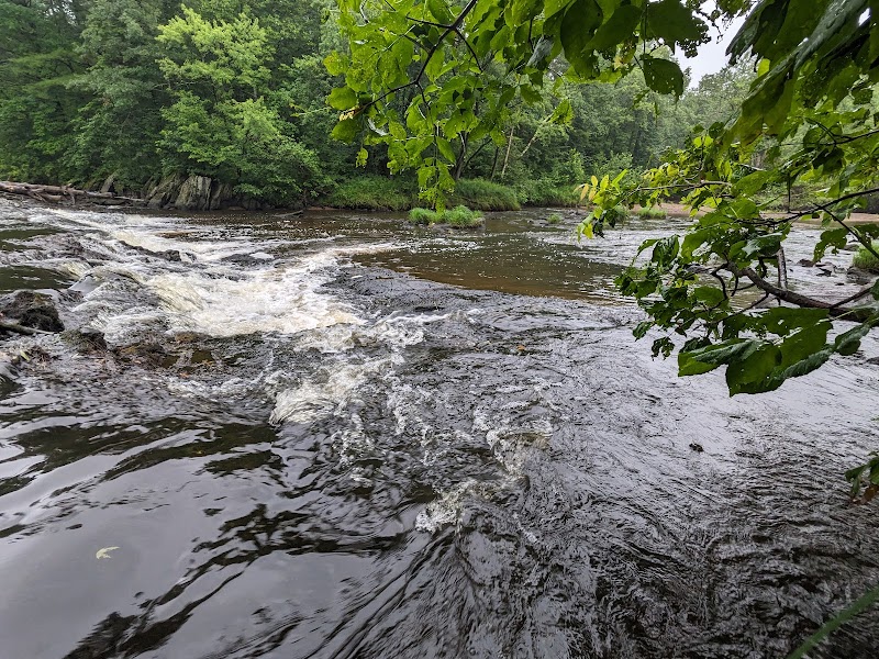
The Chippewa River Watershed encompasses approximately 2,390,000 acres across west-central Wisconsin and a small portion of east-central Minnesota, draining into the Mississippi River. The watershed includes the main stem of the Chippewa River and its tributaries such as the Eau Claire, Red Cedar, and Yellow Rivers. Its geographic features range from rolling hills and rich agricultural lands to extensive forested zones, riverine wetlands, and floodplains. The region supports diverse natural communities including hardwood and conifer forests, marshes, and riparian habitats critical for waterfowl and numerous fish species, including walleye, smallmouth bass, and muskellunge. The watershed also plays an important role in regional flood control, water quality, and recreational use. Historically, the area was inhabited by the Ojibwe (Chippewa) people, whose name the river and watershed bear. European settlers arrived in the 19th century, developing logging and agriculture industries that shaped the landscape. Today, recreational activities within the watershed are centered on paddling, especially via the established Chippewa River Water Trail, hiking forest trails, fishing in the many tributaries, and wildlife watching, particularly for migratory birds and native mammals. Protected areas within the watershed include state parks, wildlife areas, and stretches of the Chippewa River designated as Wild and Scenic. Visitors can explore natural landmarks such as the Moore’s Crossing, and enjoy small-town hospitality in communities like Eau Claire and Durand. The watershed provides a blend of quiet natural experiences and opportunities for active outdoor pursuits in a landscape marked by rich ecological and cultural heritage.