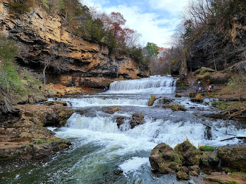
Wilderness Landscape & Natural Heritage
Coon Creek Floodway is a managed flood control area located primarily within Hennepin County, Minnesota, established to mitigate flooding risks and preserve important riparian ecosystems along Coon Creek and its tributaries. This floodway covers a series of wetlands, floodplains, and natural habitats that play a critical role in water storage during heavy rainfall events, protecting downstream communities including parts of the Minneapolis metropolitan area. The geography consists mainly of low-lying floodplain forests, marshlands, and open water areas that provide shelter and breeding grounds for numerous bird species, amphibians, and aquatic life. Coon Creek itself courses through a mix of urban and rural environments, making the floodway an important green space that supports biodiversity amidst developed landscapes. Recreation opportunities in and around the floodway include hiking along connector trails, bird watching, and seasonal fishing in associated waterways. Although primarily a functional infrastructure, the area appeals to nature enthusiasts interested in wetland ecosystems and wildlife observation. The floodway also contributes to water quality improvement by filtering stormwater runoff. Notable landmarks include the Coon Creek Trail system, which borders much of the floodplain and offers scenic views of the creek’s changing environments through the seasons. Visitors often come here for quiet outdoor experiences and to learn about regional water management practices. Managed by local and state agencies, the Coon Creek Floodway balances flood protection with conservation and public access, making it a key component of the greater Mississippi River watershed’s environmental health.