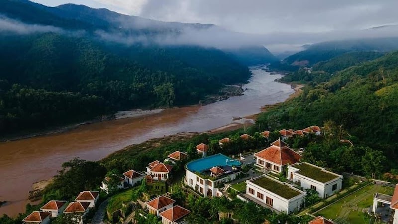
Wilderness Landscape & Natural Heritage
Doi Pha Tang National Park is located in the northernmost part of Thailand, within Chiang Rai Province, directly overlooking the Mekong River and the border with Laos. The park features rugged mountain ridges, high cliffs, and valleys with dense evergreen forests and abundant wildlife. Its highest peak, Doi Pha Tang, reaches approximately 1,267 meters (4,157 feet) above sea level. The park’s geography includes steep escarpments offering dramatic views of the Mekong River's winding course and the neighboring Laotian landscape. Ecologically, the park supports diverse flora including pine forests and mixed deciduous trees and is home to various wildlife species such as gibbons, deer, and numerous bird species, making it attractive for wildlife watching and birding. Historically, the area was a remote hill tribe region inhabited mainly by Lahu and Akha communities, whose villages can still be visited by travelers interested in local cultural experiences. Recreation opportunities include hikes to scenic viewpoints, particularly at sunrise to witness the mist rising above the river valley, and trekking through forested trails that vary in difficulty. Notable landmarks include the iconic Doi Pha Tang cliff viewpoint and the King Rama IX Memorial site within the park. Visitors are drawn by the cool, fresh mountain air, peaceful environment, and the blend of natural beauty and hill tribe culture, providing a less crowded alternative to some of Thailand’s more famous parks.