Wilderness Landscape & Natural Heritage
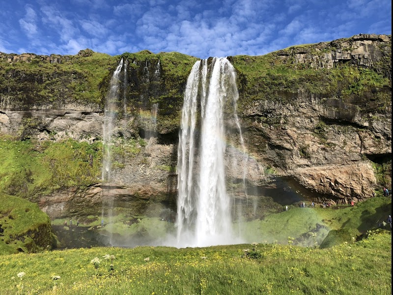
Eyjafjallajökull Glacier Protected Area centers on the Eyjafjallajökull volcano, covered by an ice cap approximately 100 square kilometers in size. Located in southern Iceland, this glacier overlies a stratovolcano that gained international attention during its explosive eruption in 2010, which disrupted air traffic across Europe. The region sits between the more famous glaciers of Mýrdalsjökull and Katla, within a dynamic geological zone shaped by Iceland's tectonic activity. The protected area includes volcanic craters, glacial ice fields, waterfalls, and surrounding rugged lava fields. It is a hub for outdoor enthusiasts interested in glacier hiking, snowmobiling, and photography, with stunning panoramas of ice formations and volcanic landscapes. Visitors can explore trails around the periphery and viewpoints offering vistas of the glacier’s ice cap, as well as the volcanic caldera. Local flora includes hardy mosses and lichens adapted to the volatile climate and volcanic soil. Wildlife such as Arctic foxes and various bird species inhabit the area seasonally. The proximity to the village of Vík í Mýrdal serves as a key access point for adventures in the region. Due to the risks posed by volcanic activity and glacial crevasses, guided tours are recommended for safe exploration. The Eyjafjallajökull Glacier Protected Area provides a dramatic example of Iceland’s volcanic and glacial interaction, making it an extraordinary destination for geological interest and adventurous recreation.