Wilderness Landscape & Natural Heritage
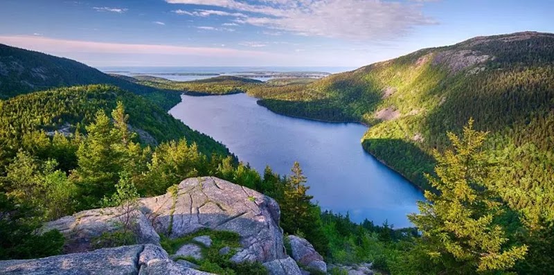
The Penobscot River Corridor Conservation Zones encompass a network of protected lands and waterways along the Penobscot River in Maine. Stretching over 200 miles, these conservation zones secure critical river habitats, support fish passage efforts, and maintain water quality through collaborative land management by partners such as land trusts and government agencies. The river corridor offers a mosaic of forested riverbanks, wetlands, and rocky outcrops that support a wide range of species including Atlantic salmon, bald eagles, and endangered wild brook trout. Historically, the Penobscot River was central to native Penobscot Nation communities and later to Maine’s logging and industrial economies. Today, conservation measures help restore the river's ecological integrity by reconnecting fish habitats and conserving riparian buffers. Outdoor enthusiasts find the Penobscot River Corridor a prime destination for paddling, fishing, birdwatching, and hiking. Popular access points provide gentle river segments for canoeing and kayaking as well as more challenging rapids for experienced paddlers. Several conservation lands along the corridor offer walking trails and wildlife viewpoints, while boat launches provide access to serene river stretches. The area draws anglers targeting trout and salmon, photographers capturing wildlife and river vistas, and those seeking tranquility amidst largely undeveloped river landscapes. The focus on maintaining natural river flow and habitat connectivity also enhances seasonal migration and spawning of native fish. Visiting the Penobscot River Corridor Conservation Zones provides an immersive experience of one of Maine’s most iconic rivers framed by thriving natural ecosystems and culturally significant landscapes.