Wilderness Landscape & Natural Heritage
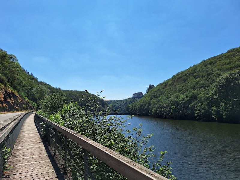
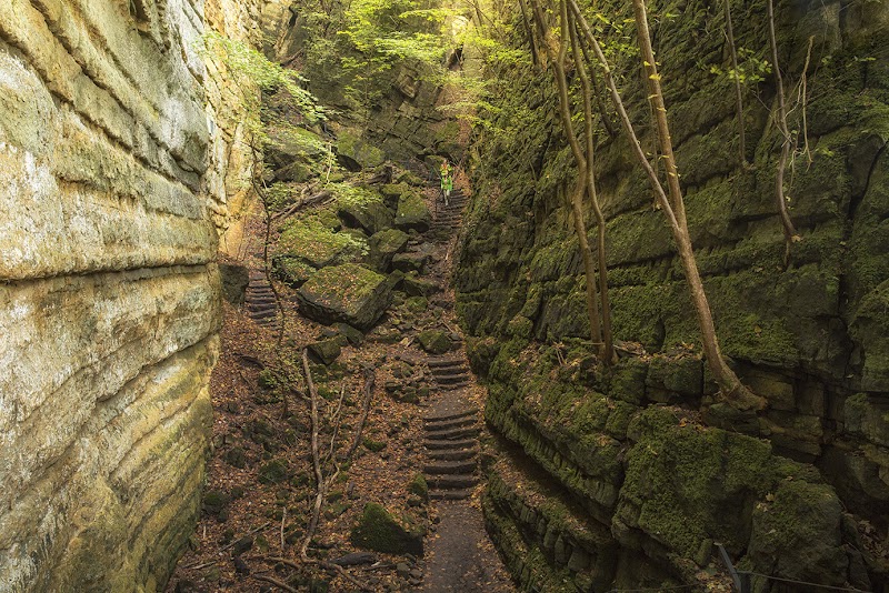
The Vulkaneifel Volcanic Geopark is an internationally recognized geologically significant area situated in the Eifel region of Rhineland-Palatinate, Germany. Spanning roughly 2,879 square kilometers, this geopark bears witness to tens of millions of years of volcanic activity, featuring a spectacular array of volcanic landforms, including maars (volcanic crater lakes), lava domes, basalt columns, and cinder cones. The region’s lush temperate forests, heathlands, and meadows provide habitat to diverse flora and fauna typical of Central Europe, enriched by the volcanic soils. The park’s volcanic history dates back to the Tertiary and Quaternary periods, with some volcanic activity still observable today through occasional gas emissions and mineral springs. Visitors to Vulkaneifel can enjoy a variety of outdoor activities such as hiking, mountain biking, guided geological tours, and birdwatching. Notable landmarks include the Pulvermaar and the Meerfelder Maar—some of the best-preserved volcanic craters in Europe—along with the lava rock formations at Dreiser Weiher and the windmill village of Gillenfeld. The geopark also offers thematic trails focusing on volcanic geology, forests, and local culture. Accessible and rich with educational signage, Vulkaneifel appeals to families, geology enthusiasts, and nature lovers alike. Its combination of natural beauty, geological history, and well-maintained trails provides visitors with a unique outdoor experience rooted in deep natural heritage.