Wilderness Landscape & Natural Heritage
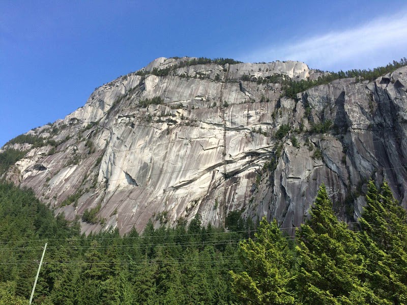
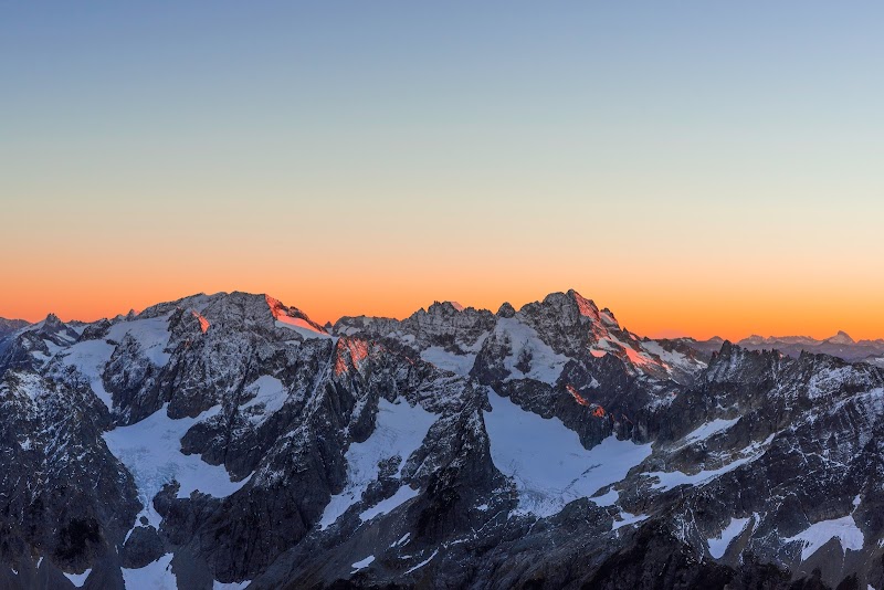
Located along the Coquihalla Highway between Hope and Kamloops in British Columbia, Coquihalla Summit Recreation Area encompasses a mountainous region characterized by steep slopes, alpine meadows, dense forests, and crystal-clear lakes. The area sits at the highest point of the Coquihalla Highway, known as the Coquihalla Summit, with elevations reaching over 1,244 meters (4,081 feet). The environment includes subalpine and alpine ecosystems, supporting diverse wildlife such as mountain goats, black bears, marmots, and various bird species. Historically, this corridor was an ancient Indigenous trade route and later a critical passage for early settlers and transportation development, now hosting the modern highway. The recreation area attracts outdoor enthusiasts interested in hiking, backpacking, mountain biking, fishing, and winter snow sports like snowshoeing and cross-country skiing. Several alpine lakes provide fishing opportunities for trout, while expansive trails deliver panoramic views of the surrounding Cascade Mountains. The area's relatively remote location and rugged terrain encourage solitude and immersion in nature. Its proximity to the Coquihalla Highway makes it an accessible destination for travelers seeking quick outdoor escapes or extended wilderness adventures. Seasonal weather variations bring vibrant wildflower blooms in summer and deep snowpack in winter, shaping the recreational possibilities through the year. The conservation of this area focuses on protecting its unique high-altitude ecosystems and water quality amid increasing visitor use.