Wilderness Landscape & Natural Heritage
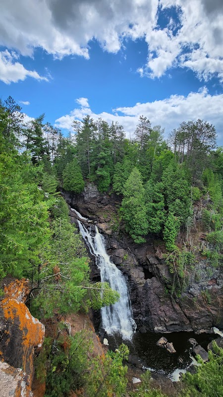
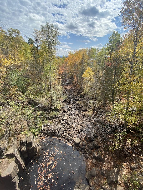
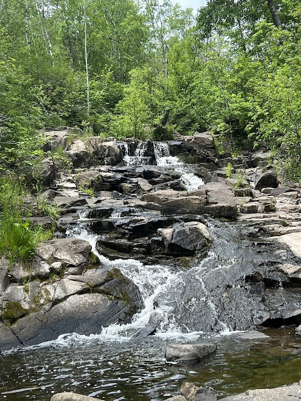
The Saint Louis River State Water Trail stretches approximately 54 miles from its origin near Floodwood, Minnesota, to its confluence with Lake Superior at Duluth, Minnesota, and Superior, Wisconsin. This water trail follows the Saint Louis River, which is the largest U.S. river to flow into Lake Superior. The river winds through a mosaic of forested wetlands, rugged rocky shorelines, and urban waterfronts, offering paddlers a unique combination of wilderness and cityscape views. Ecologically significant, the river corridor supports habitats for bald eagles, ospreys, beavers, and numerous fish species including walleye and smallmouth bass. Historically, the river was a critical transportation route for Native American tribes, fur traders, and early industry, with numerous historical sites and interpretive signage enriching the paddling experience today. The trail features a mix of calm sections and gentle rapids, suitable for canoeing and kayaking, with access points and campgrounds located along the route. Notable landmarks include the St. Louis River Estuary, the historic Fond du Lac neighborhood in Duluth, and the scenic rocky gorge at Jay Cooke State Park near the river’s upper reaches. The trail appeals to day paddlers, multi-day trippers, anglers, birdwatchers, and outdoor photographers seeking a blend of natural and cultural experiences. With ongoing restoration efforts improving water quality and habitat, the Saint Louis River State Water Trail is a premier destination for water-based recreation in the upper Midwest.