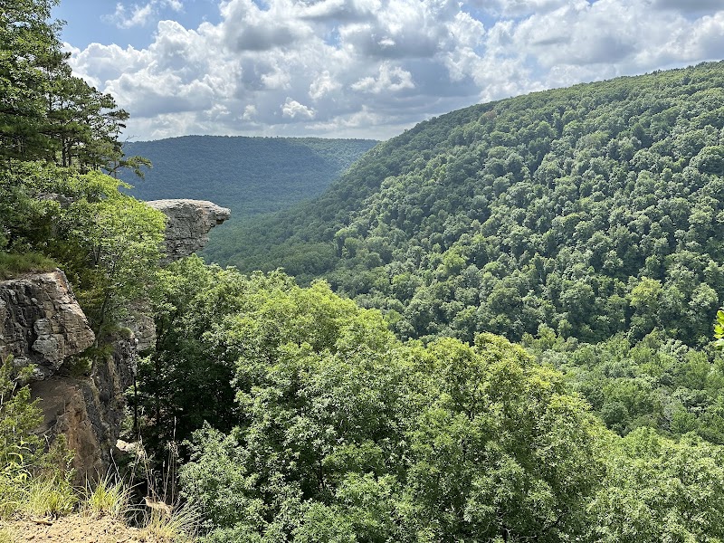
Wilderness Landscape & Natural Heritage
Buffalo National River encompasses 135 miles of free-flowing river through the Ozark Mountains of northern Arkansas. Established in 1972 as the first national river in the United States, the region protects a unique and scenic section of the Buffalo River and its surrounding valleys, forests, and karst landscapes. The river cuts through rugged limestone bluffs and hardwood forests, providing critical habitat for diverse wildlife including white-tailed deer, river otters, and more than 49 species of fish. The region's geological formations feature caves, natural springs, and bluffs reaching heights of over 400 feet, contributing to its dramatic scenery and ecological diversity. Visitors enjoy a wide variety of outdoor recreation, including canoeing and kayaking the clear, swift water; hiking on miles of trails that wind past waterfalls, historic homesteads, and overlooks; camping in both developed and primitive campgrounds; and fishing for smallmouth bass and other native species. Notable landmarks include Lost Valley with its waterfall and caves, Hemmed-In Hollow, the tallest waterfall between the Appalachians and Rockies, and the Sylamore Trail system. Rich cultural history is evident in the remains of Ozark homesteads, Native American archeological sites, and old mills. The National Park Service operates several visitor centers and maintains dozens of camping areas, making the Buffalo National River Region a beloved destination for both day trips and extended backcountry excursions.