Wilderness Landscape & Natural Heritage
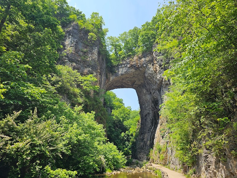
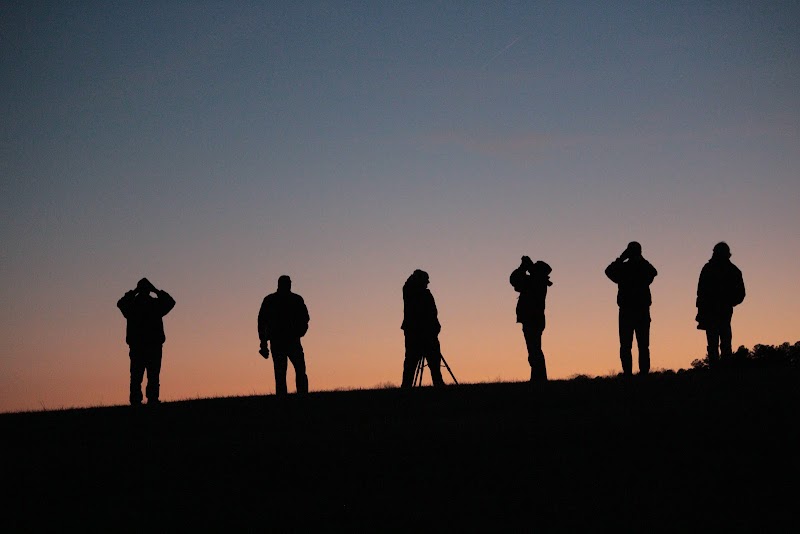
The Roanoke River Basin is a significant hydrological and ecological region that extends through south-central Virginia into northeastern North Carolina. It covers approximately 3,400 square miles and includes several protected areas such as state parks, natural preserves, and portions of national forest lands that safeguard the river’s source and tributaries. The basin is characterized by diverse landscapes including rolling hills, extensive bottomlands, wetlands, and mixed hardwood and pine forests. Ecologically, the basin supports habitats for numerous fish species, freshwater mussels, migratory waterfowl, and a variety of mammals and reptiles. Historically, the Roanoke River was an important resource for Native American tribes and later European settlers, providing transportation and fertile grounds for agriculture. Today, recreational opportunities abound along the river corridor, with popular activities including canoeing and kayaking on the Roanoke and its tributaries, sport fishing especially for striped bass and catfish, birdwatching, and hiking on adjacent forest trails. Notable landmarks within the basin include the John H. Kerr Reservoir (Buggs Island Lake), a large man-made lake that creates prime boating and camping destinations, and several wildlife management areas that offer hunting and nature observation. The basin’s well-preserved natural areas make it a destination for outdoor enthusiasts seeking a blend of water-based and terrestrial activities, with less crowded access compared to other regional river systems.