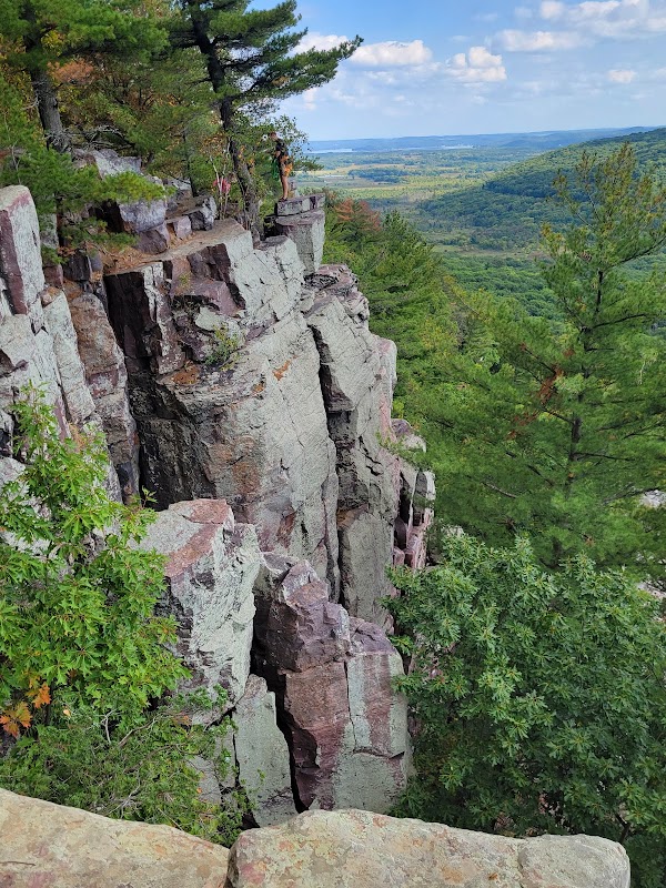
Wilderness Landscape & Natural Heritage
The Rock River Corridor follows the course of the Rock River as it travels approximately 299 miles from its origins at the confluence of the East and West Branches near the Horicon Marsh in Wisconsin, winding southward into Illinois where it eventually joins the Mississippi River. The corridor covers a diverse geographic footprint that includes wetlands, hardwood forests, bluffs, and urban landscapes. Ecologically, the river supports a wide array of flora and fauna, including important fish species such as smallmouth bass and northern pike, as well as waterfowl, beavers, and migratory songbirds. Historically, the Rock River Corridor was a vital transportation and trade route for Native American tribes and later settlers, with archaeological sites and historic towns dotting the riverbanks. Outdoor recreation thrives here with activities like kayaking, canoeing, and fishing dominating the water-based options. Multiple public access points and boat launches make paddling accessible along much of the river. On land, visitors can explore numerous parks and preserves featuring trails for hiking and mountain biking, as well as designated wildlife viewing areas. Notable landmarks include the historic Mineral Point Bridge in Wisconsin and the scenic Rock River Parkway in Illinois. The corridor's blend of natural settings and cultural history appeals to a broad range of outdoor enthusiasts, from casual day-trippers to dedicated anglers and paddlers looking to experience the calm beauty of Midwestern riverine ecosystems. Coordinated conservation efforts by state agencies and local groups aim to maintain water quality and habitat connectivity throughout the corridor.