Rabun Bald
Adventure Destination

Rabun Bald

Explore Rabun Bald, the second-highest peak in Georgia. Accessible via the Bartram Trail, this hike offers stunning views and is a favorite for adventurous hikers. Be prepared for mixed trail conditions, and enjoy wildlife watching and sunset photography.

Hiking7.8/10Moderate
Photo Gallery

Category

Hiking

Typical Duration

2-4 hours

Difficulty

Moderate

About This Adventure Destination

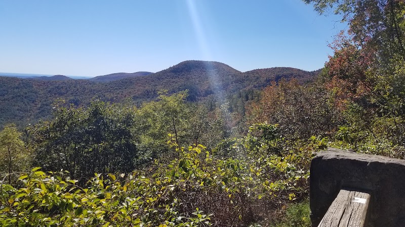
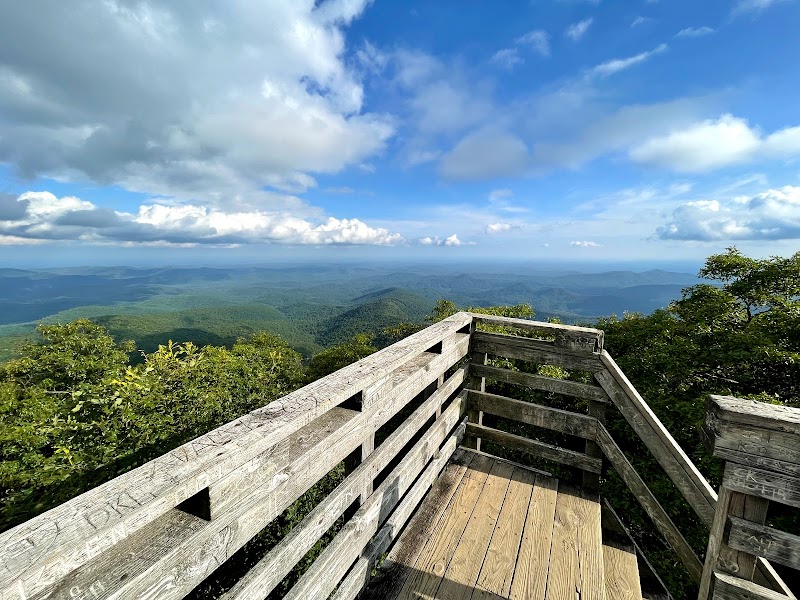
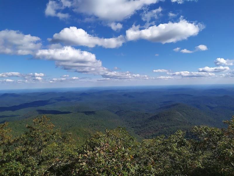
Rabun Bald is the highest point in Georgia’s northeast region and ranks as the state’s second tallest summit at 4,696 feet. Located near the small mountain city in Rabun County, this peak offers some of the most expansive vistas in the Blue Ridge Mountains. The area is well-known for its vibrant rhododendron clusters and dense hardwood forests that transform with the seasons, making it a top destination for nature lovers and hikers. The summit itself is remarkable for its 360-degree panoramic views, allowing visitors to see deep into Georgia and neighboring states on clear days.

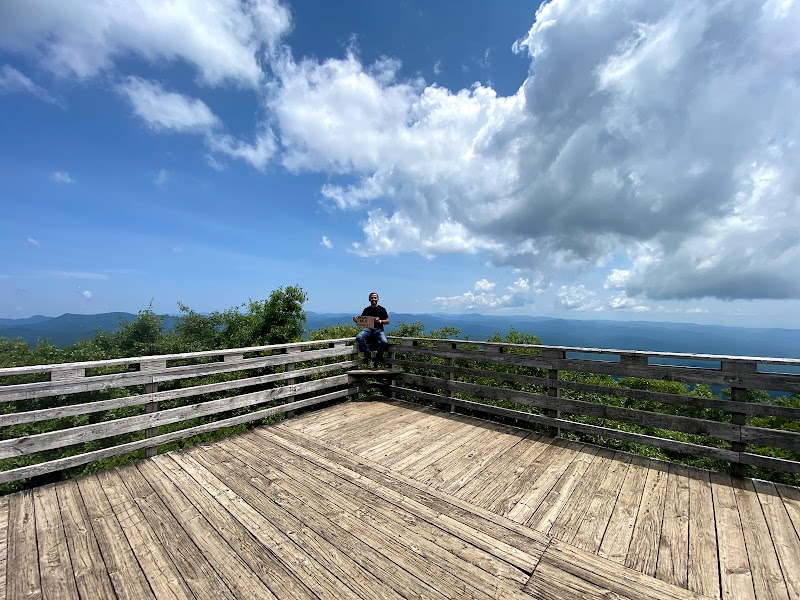
The hike up to Rabun Bald includes sections of the famous Bartram Trail, a historic path that follows routes used by naturalist William Bartram in the 18th century. The trail features a blend of moderate inclines, rocky steps, and switchbacks, catering to a range of hiking abilities, including families with children. A notable feature at the summit is a wooden fire tower that, when climbed, gives an even more commanding perspective of the surrounding Blue Ridge ridges and valleys.

Locally, Rabun Bald carries whispers of old legends and natural mysteries tied to the mountain’s weather shifts and celestial alignments. This combination of natural beauty, accessible trails, and cultural significance makes Rabun Bald a rare gem in Georgia’s mountainous region and a must-see landmark for outdoor visitors seeking rewarding views with manageable effort.


Editorial Assessment

**LaunchPad Value:** Rabun Bald is an enchanting yet relatively modest destination. While it boasts impressive views and diverse ecology, it lacks the global prominence or unique geological features that mark a location as iconic. A cherished spot for regional visitors, it offers serenity and beauty worth exploring.#Hiking #Georgia #BartramTrail #OutdoorAdventure #MountainViews #RabunCounty
Rabun Bald

Adventure Guide to Rabun Bald

1

Hike the Bartram Trail

  • Location:

    Trailhead near Beegum Gap; 2.5 miles round trip.

  • What Makes It Special:

    Offers reasonably easy hiking with varied terrain and a rewarding summit panorama.

  • Amenities:

    Parking areas near Hale Ridge Road.

  • Local Insight:

    William Bartram’s historic exploration route adds richness to the landscape.

  • Visitor Tips:
  • Details:

    Best from late spring to fall to avoid winter snow and mud.

  • Details:

    Bring sturdy boots and water. The trail can be slippery after rain.

  • Details:

    Allow 2 to 3 hours for round trip.

2

Sunset and Sunrise Viewing at the Summit

  • Location:

    Fire tower atop Rabun Bald.

  • What Makes It Special:

    Sharp ridges and horizon views create striking sky colors.

  • Visitor Tips:
  • Details:

    Arrive early for sunset or sunrise seats.

  • Details:

    Pack a flashlight for the return descent in darkness.

  • Details:

    Cooler temperatures mean a jacket or layers are advisable.

3

Extended Backcountry Hikes (Darnell Creek Loop)

  • Location:

    Surrounding trail system including Darnell Creek.

  • What Makes It Special:

    Longer hikes (up to 14+ miles) for experienced hikers with opportunities to spot local wildlife.

  • Visitor Tips:
  • Details:

    Prepare for a full day with food, water, and appropriate gear.

  • Details:

    Winter months are less crowded, but dress warmly and check trail conditions.

  • Details:

    Not recommended for beginner hikers due to length and elevation changes.

4

Getting There

  • Details:

    Rabun Bald is about a 2-hour drive northeast from Atlanta.

  • Details:

    Take GA-515 and then head toward Clayton; from there, follow local signage toward Beegum Gap Trailhead.

  • Details:

    Expect variable weather; check conditions before departure. This region is rewarding year-round, with colorful fall leaves, vibrant spring blooms, and quiet snowy winters offering unique hiking experiences.

Reviews

V
VJa month ago

Hiked to Rabun Bald via Darnell Creek: 14.6 miles out and back and it took around 7.5 hrs. View from the summit was amazing. We saw only one other hiker on a cold Sunday in December.

J
James Leerssen7 months ago

Great spot! Awesome views!!!

N
Nirob Bnz7 months ago

The hike is very long and strenuous but totally worth the view!!

J
Jay K9 months ago

Incredible hike up in rain and cleared when we got to the top. It cleared up for food 360° views and trip down. We took shorter .8 loop side up to the trail that took you to the top, and took the slightly longer loop side down. Shorter hike was more traveled, both were easy to intermediate imo.

A
Andy Altizer5 months ago

Great destination! Enjoyed the open trail and peaceful outdoor atmosphere.

Nearby Adventures

Bookable Experiences

UTV Through 95 Acres to a 300‑Foot Waterfall: Scaly Mountain’s Guided Trail Ride3.30 mi
Scaly Mountain, North Carolina

UTV Through 95 Acres to a 300‑Foot Waterfall: Scaly Mountain’s Guided Trail Ride

A fully guided UTV tour across a 95‑acre forest that reaches the 300' Upper Middle Creek Falls and a scenic Appalachian Trail overlook — this guide lays out the route, logistics, and reservation essentials.

3.30 miView Trips & Details →
Private Rainforest & Waterfall Drive — Two Hours Through Highlands’ Temperate Canopy8.47 mi
Highlands, North Carolina

Private Rainforest & Waterfall Drive — Two Hours Through Highlands’ Temperate Canopy

A two-hour private vehicle tour departing from Highlands that visits mountain vistas and local waterfalls in the Nantahala Temperate Rainforest; this guide explains what to expect and what to bring.

8.47 miView Trips & Details →
Two Hours on Highlands’ Wild Edge: Private Hikes to Summits, Waterfalls and Rainforest Ridges8.47 mi
Highlands, North Carolina

Two Hours on Highlands’ Wild Edge: Private Hikes to Summits, Waterfalls and Rainforest Ridges

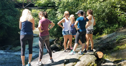
A private, 2-hour hiking tour in Highlands, North Carolina, with multiple trail options and practical guidance for choosing the right short adventure.

8.47 miView Trips & Details →
Private Highlands Wine Tasting: A 2.5‑Hour Drive Through Mountain Vistas and Vintages8.47 mi
Highlands, North Carolina

Private Highlands Wine Tasting: A 2.5‑Hour Drive Through Mountain Vistas and Vintages

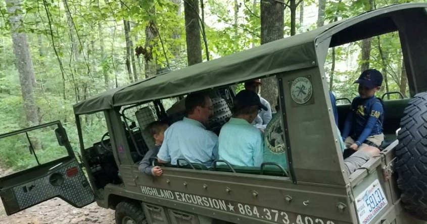
A private, 2.5-hour guided wine-tasting tour from Highlands to nearby vineyards run by Highland Excursion—this guide lays out what to expect, what to bring, and who it suits.

8.47 miView Trips & Details →
Two Hours of Back‑Road Highlands: Private Wilderness Tours from Highlands, NC8.47 mi
Highlands, North Carolina

Two Hours of Back‑Road Highlands: Private Wilderness Tours from Highlands, NC

A concise guide to Highland Excursion’s two‑hour private scenic drives — mostly driving with short, easy walks — that showcases mountain vistas, river potholes and temperate rainforest learning for all ages.

8.47 miView Trips & Details →
Bryson City’s Self‑Guided Funyak & Sit‑on‑Top Torrent Runs with Nantahala Rafting9.09 mi
Bryson City, North Carolina

Bryson City’s Self‑Guided Funyak & Sit‑on‑Top Torrent Runs with Nantahala Rafting

Self‑guided rentals of inflatable single and double funyaks (including hi‑performance) and sit‑on‑top Perception Torrent kayaks — a 2–2.5 hour on‑water paddle that serves as a direct, hands‑on introduction to kayaking.

9.09 miView Trips & Details →