Hiking the Indian Creek Trail in Ponca, Arkansas
Adventure Destination

Hiking the Indian Creek Trail in Ponca, Arkansas

Explore the challenging 4.7-mile Indian Creek Trail in Ponca, Arkansas. This hard route takes you through rugged terrain with stunning canyons and waterfalls, popular among experienced adventurers. Quiet year-round, ideal for spring and fall exploration.

Hiking7.2/10Hard
Photo Gallery

Category

Hiking

Typical Duration

2-4 hours

Difficulty

Hard

About This Adventure Destination

Introductory Overview

Hiking the Indian Creek Trail near Ponca, Arkansas, offers an incredible wilderness experience in the heart of the Ozark Mountains. This trail stands out for its rugged terrain, breathtaking waterfalls, and distinctive rock formations, making it a favorite for experienced hikers seeking adventure. It's also known for its secluded feel, giving visitors an unmatched sense of peace and connection to nature. While challenging, the trail rewards those who navigate it with spectacular views and unique natural features.

Editorial Assessment

The Indian Creek Trail in Ponca, Arkansas offers a beautiful hiking experience with scenic views of waterfalls, rocky formations, and lush forests. While it provides a rewarding outdoor adventure, it lacks the global recognition and distinctiveness to rank among the world's most iconic natural landmarks.
Hiking the Indian Creek Trail in Ponca, Arkansas

Adventure Guide to Hiking the Indian Creek Trail in Ponca, Arkansas

1

- Trail Overview

  • Overview:

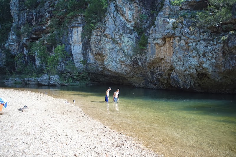
    Indian Creek Trail is an unofficial, primitive trail, known for its difficult terrain and technical challenges. The hike spans approximately 4.7 miles round trip and features elevations ranging from 1,100 to 2,200 feet. Be prepared to navigate uneven paths, climb over boulders, and occasionally wade through ankle-deep creek water.

  • Details:

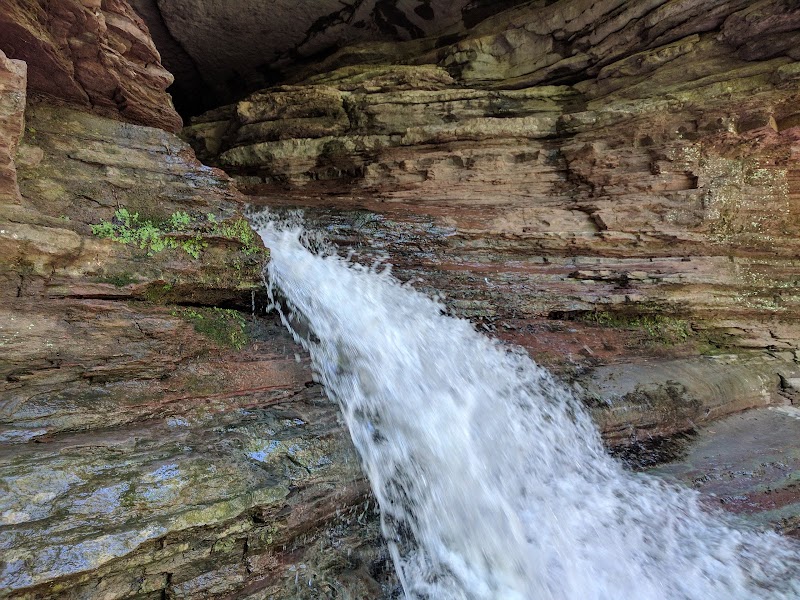
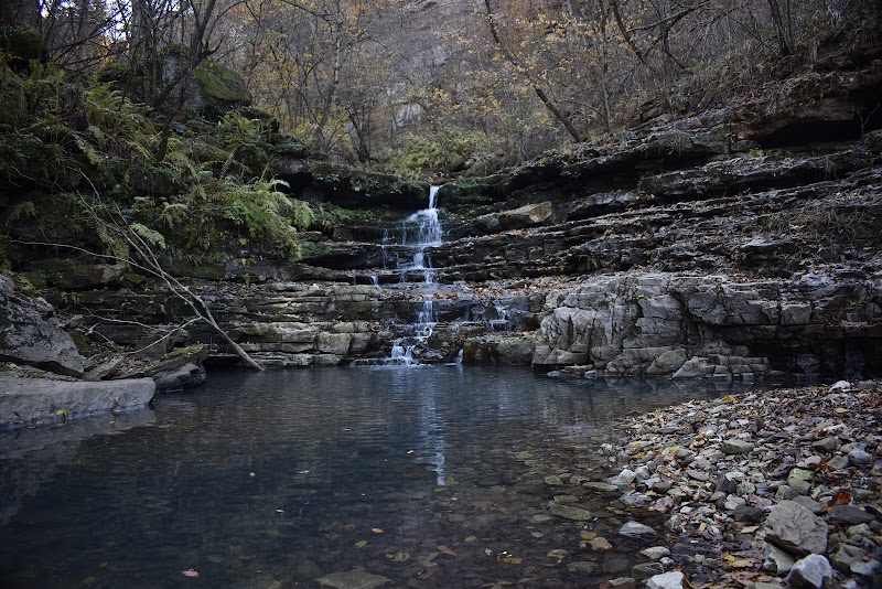
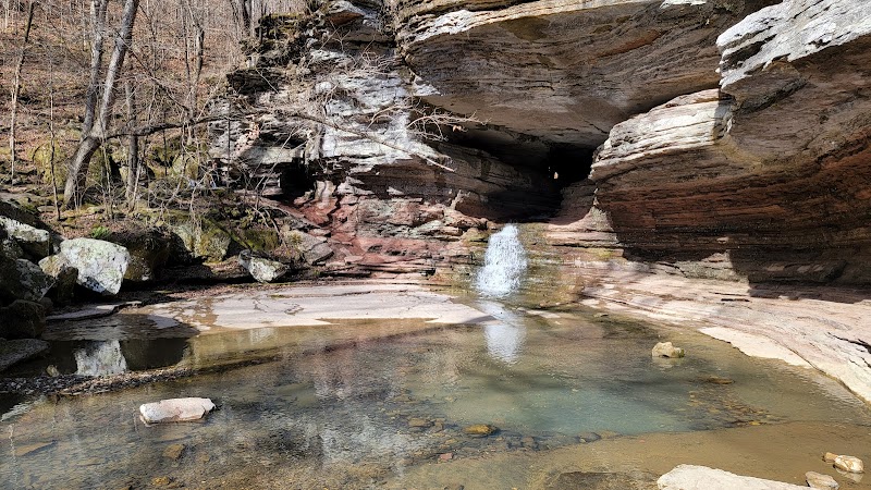
    Key Highlights 1. Indian Creek Canyon: This breathtaking canyon is surrounded by towering cliffs and offers awe-inspiring natural beauty. Its rugged walls are set against lush Ozark forest, making it a photographer's dream. 2. Tunnel Bluff: This hidden gem on the trail boasts a natural tunnel-like rock feature carved by water over centuries. It's a must-see and worth the challenging scramble to get there. 3. Unnamed Waterfall: Indian Creek Trail offers access to a stunning yet unnamed waterfall. Visit during spring or after recent rainfall for the most spectacular flow.

  • Details:

    Trail Difficulty Level Rated as difficult, this hike is best suited for experienced hikers. While short in length, the technical obstacles can be taxing, so make sure you're prepared with proper skills and fitness.

2

Local Insights

  • Overview:

    Indian Creek Trail’s geological formations are key features of the larger Buffalo National River area, which showcases the ancient karst topography of the Ozarks. The rock walls in the canyon and Tunnel Bluff highlight Arkansas’s rich geological history, shaped over millions of years.

3

Visitor Tips

  • When to Visit:

    Best times are late fall through spring to avoid heat and ticks. Avoid after heavy rains due to potential creek flooding.

  • What to Bring:

    Sturdy waterproof hiking boots, trekking poles, water-resistant backpack, snacks, and plenty of water.

  • Driving Directions:

    From Ponca, drive along AR-43 south toward Boxley Valley (approx. 10 minutes). Park near the Buffalo Outdoor Center trailhead.

Reviews

N
Nick Quesenberry2 years ago

This is a very difficult & beautiful hike. Even a guide cannot guarantee your safety. Know your limits, be careful & be cautious.

C
Carmen Martuccia year ago

Worst trail system in ozarks/Buffalo River

G
George Pendergrass3 months ago

Great destination! Enjoyed the open trail and peaceful outdoor atmosphere.

S
sam shoemaker2 years ago

We used to do a 2 day back packing trip every thanksgiving break in college years ago. We would always start at the top of the water shed of Indian Creek and head down. An incredible hike and pretty difficult in places. We have repelled through the eye, as well as climb up steep embankments to go around the eye. The water falls are spectacular. High cliffs and steep walls make it challenging and could be dangerous if one would loose their footing with mossy ledges. Boulder hopping was a must. I believe since we last done this they have closed off the pass through cave due to the protection of local bats. Have fun and be safe, an incredible outdoor expiernce. Climbing out was always a long slog uphill since we did not go back up the creek and we would eventually come across old logging roads which eventually making the uphill climb easier. Those roads are probably grown over by now. Carrying 40 pound backpack made the round trip trip even more challenging.

A
Andrew Jackson3 years ago

Not a hike for the faint. Considered one of Arkansas's hardest hikes. No real trail and near the end it’s an extremely steep climb with loose rock. You must the walk along a very thin edge to the left and go into the arch if you would like to see the needles eye falls.

Nearby Adventures

Bookable Experiences

A One-Night RV Pause on the Edge of Boxley Valley0.95 mi
Kingston, Arkansas

A One-Night RV Pause on the Edge of Boxley Valley

A concise guide to a single-night RV stay at a campground near Boxley Valley—RV sites with hookups, picnic tables and fire rings, minutes from the Buffalo River and ATV access.

0.95 miView Trips & Details →
Cockatiel Meadow: A Quiet Canopy of Tents and Rock Firelight1.78 mi
Kingston, Arkansas

Cockatiel Meadow: A Quiet Canopy of Tents and Rock Firelight

Primitive tent camping at Cockatiel Camp C in Kingston — secluded, shaded sites with rock fire rings and options for easy or off-road access.

1.78 miView Trips & Details →
Shady Oak Camp B — Backside of Moonstruck Pond: Accessible seclusion for small groups1.92 mi
Kingston, Arkansas

Shady Oak Camp B — Backside of Moonstruck Pond: Accessible seclusion for small groups

A compact campsite at Moonstruck Pond that fits 2–3 tents and provides easy access to nearby recreational trails, with practical booking and rate details for families and small groups.

1.92 miView Trips & Details →
Morning Dew Camp A — A small red‑cliff campsite above Boxley with wide night skies2.77 mi
Kingston, Arkansas

Morning Dew Camp A — A small red‑cliff campsite above Boxley with wide night skies

A compact campsite in Boxley that accommodates 4–5 RVs or tents and is reached via roughly 1 mile of interior farm road; this guide compiles the onsite rules, access notes, and booking details you need.

2.77 miView Trips & Details →
Moonstruck Pond C — A shady, pondside campsite made for RVs and tents at Wilderness Rider Buffalo Ranch4.88 mi
Kingston, Arkansas

Moonstruck Pond C — A shady, pondside campsite made for RVs and tents at Wilderness Rider Buffalo Ranch

A concise guide to Moonstruck Pond C: a roomy, tree-canopied campsite beside a quiet pond with easy vehicle access and simple booking for stays of 1–10 nights.

4.88 miView Trips & Details →
Sunsets Over Eight Sites: Primitive RV, Tent and Van Camping at Buffalo Pines Camp F6.68 mi
Kingston, Arkansas

Sunsets Over Eight Sites: Primitive RV, Tent and Van Camping at Buffalo Pines Camp F

A vehicle-accessible primitive campground in Kingston with eight sites (A–H), bookable by the night for stays of 1–10 nights.

6.68 miView Trips & Details →