Best Moderate Hiking Trails in Gatlinburg, Tennessee
Best Moderate Hiking Trails in Gatlinburg, Tennessee
Welcome to Gatlinburg, Tennessee, a charming mountain town known as the gateway to the Great Smoky Mountains National Park, a UNESCO World Heritage Site. Gatlinburg is a paradise for lovers of the outdoors, featuring scenic trails, breathtaking views, and a rich collection of natural wonders. This guide focuses on moderate hiking trails that are approximately 7 miles long, perfect for those who want a rewarding physical experience. Let’s explore the top options along with some unique insights, safety tips, and how to best enjoy these trails.
1. Alum Cave Trail to Mount LeConte
Overview: One of the most iconic trails in the Smokies, the Alum Cave Trail to Mount LeConte is a moderately difficult round-trip hike of 6.6 miles. Trekkers are rewarded with dramatic geological features and stunning vistas, making this one of the most recommended hikes around Gatlinburg.
Highlights:
- The trail provides access to stunning spots like Arch Rock, a natural stone arch created over thousands of years by erosion, and the Alum Cave Bluff, a 50-foot tall concave cliff that offers majestic views.
- Dense forests of hemlocks and rhododendron provide shade and a serene environment at the lower elevations.
- The mid-section offers geological marvels with narrow rock tunnels and log bridges. It’s a photographer’s dream trail!
Interesting Facts:
- Alum Cave was once mined for its epsomite deposits during the Civil War, used to make gunpowder.
- Near the Alum Cave Bluff, visitors have reported rare sightings of peregrine falcons.
Things to Know:
- Pack layers, as temperatures drop significantly at higher elevations.
- Start early, as the trail can get crowded during peak seasons.
- Parking is available at the Alum Cave Trailhead on Newfound Gap Road, about a 20-minute drive (9 miles) south of Gatlinburg.
Local Knowledge: For an optional extended hike, you can continue to Mt. LeConte Lodge (an additional 2.7 miles one-way). This lodge is only accessible on foot and has been serving visitors since the 1920s.
2. Rainbow Falls Trail
Overview: For waterfall enthusiasts, the Rainbow Falls Trail is an excellent choice. It covers a total of 5.4 miles (round trip) to the falls but extends up to 7.0 miles if you include parts of LeConte Creek Trail. It is considered moderate due to its elevation gain and rocky terrain.
Highlights:
- The centerpiece is Rainbow Falls, an 80-foot waterfall named for the rainbows created by the mist on sunny days. It’s the tallest year-round fall in the Smokies.
- Along the trail, expect to see lush forests, moss-covered rocks, and bubbling mountain streams.
Interesting Facts:
- This trail is part of a path that connects to the Bullhead Trail, a less-crowded route to Mount LeConte.
- Houses some of the region's oldest tree specimens, with species like yellow birch and eastern hemlock.
Things to Know:
- The trailhead is located off Cherokee Orchard Road, just a 15-minute drive (2.5 miles) from downtown Gatlinburg.
- Wear sturdy hiking boots, as some sections are rocky and wet near the stream crossings.
- Parking is limited, so plan accordingly.
Local Knowledge: Arrive early during summer months for the best chance to spot wildlife like black bears or red squirrels.
3. Baskins Creek Trail
Overview: The Baskins Creek Trail is a quieter hike often overlooked in favor of busier trails, making it a peaceful option. This trail covers 6.7 miles round-trip and offers serene creek sounds and an impressive waterfall.
Highlights:
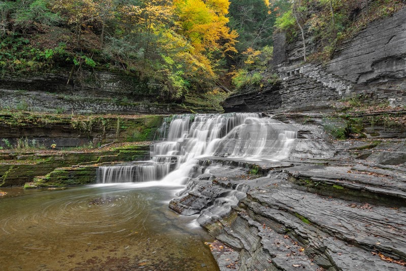
- The trailing endpoint rewards hikers with views of Baskins Creek Falls, a two-tier, 40-foot waterfall cascading into a shallow pool.
- The trail’s secluded location means you’ll encounter fewer crowds, providing a sense of deep connection with nature.
Interesting Facts:
- The area surrounding Baskins Creek was historically home to Appalachian settlers before the establishment of the National Park in 1934.
- Remnants of old homesteads can sometimes be spotted along the trail.
Things to Know:
- Getting there involves a short 10-minute drive to the Roaring Fork Motor Trail from Gatlinburg.
- There are several creek crossings, so trekking poles are useful here if water levels are high.
Local Knowledge:
Pair this trail with a scenic drive along Roaring Fork Motor Nature Trail, which features historic cabins and beautiful views of the forest. The one-way loop road ensures minimal noise from modern traffic.
4. The Twin Creeks Trail
Overview: Ideal for those who want a slightly shorter but equally rewarding hike, the Twin Creeks Trail offers a peaceful woodland walk with a blend of history and wildlife. Combine it with parts of the Gatlinburg trail to reach the desired mileage of approximately 7 miles total.
Highlights:
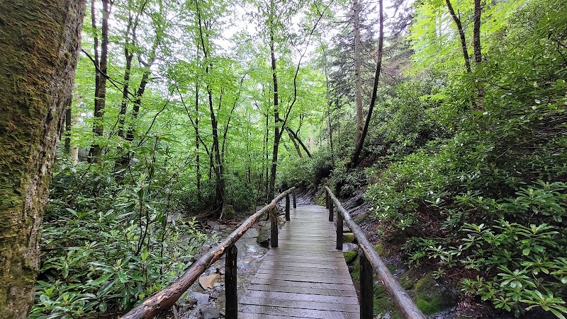
- Scenic wooden bridges and flowing streams.
- Historic structures along the route, such as the Troll Bridge and the Ogle Cabin, the earliest preserved homesteads in Gatlinburg.
Interesting Facts:
- LeConte Creek, which flows along the trail, has been integral to the development of the town, feeding early settlements.
Things to Know:
- Just 2 miles from Gatlinburg, it's close enough for those wanting easy access to town after the hike.
- The trail is family-friendly, but sections can be muddy after rain.
Local Knowledge: The trail winds near Rainbow Falls Trailhead, so you can combine portions of both trails if you're particularly ambitious during a single day of hiking.
Driving Directions Overview
- Alum Cave Trailhead: Take US-441 (Newfound Gap Road) south for about 20 minutes from Gatlinburg. Look for parking at Alum Cave Bluff parking lot.
- Rainbow Falls Trailhead: Head to Cherokee Orchard Road from downtown Gatlinburg. The drive takes about 15 minutes.
- Baskins Creek Trailhead: Enter the Roaring Fork Motor Nature Trail, about 10 minutes east of Gatlinburg.
- Twin Creeks Trailhead: Located just two miles (5 minutes) from Gatlinburg at the Twin Creeks Science Center parking lot.
Gatlinburg’s hiking options offer a unique chance to explore the breathtaking beauty of the Smokies while enjoying history and natural features along the way. Whether it’s waterfalls, geological wonders, or peaceful woodlands, these trails strike the perfect balance of challenge and serenity for avid hikers. Prepare for adventure and immerse yourself in the pristine mountain landscapes found in the Great Smoky Mountains National Park.