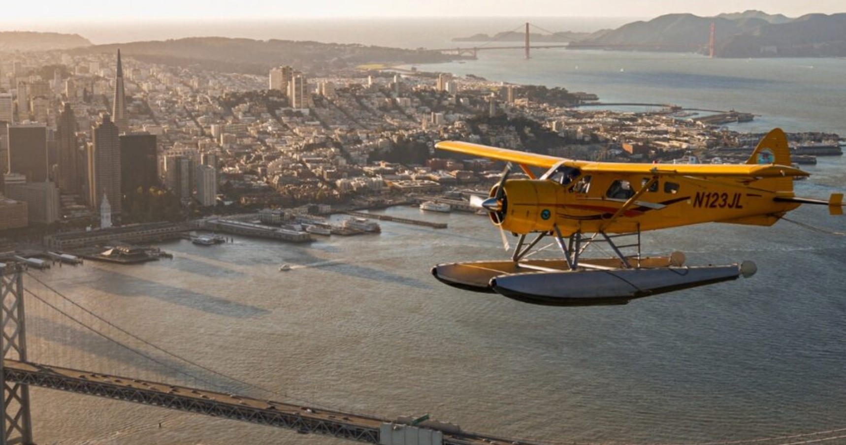
There is a particular kind of hush that settles when you lift off and arc along a coastline. In Pacifica that hush is edged by surf and wind—an elemental soundtrack for flights that trace the razor edge where land meets water. From the air the sequence of features that define Pacifica becomes legible: a strip of beaches interrupted by the dark notch of rock at Rockaway Beach, the long low slope of Sweeney Ridge in the distance, and the abrupt drop of the old Devil's Slide cliffs where the highway hugs the precipice. These are the compositions pilots and photographers covet. A short morning flight reveals the shifting geometry of fog, how it threads the coves and then unravels into neat fingers over the ocean; an evening sortie can catch the last light setting the surf to molten silver while the Bay glows behind San Francisco’s skyline.
The value of airplane travel here is not only scenic. Aircraft bring access to perspectives that change how you understand the coastline’s scale and connectivity. Scientists and surveyors use light aircraft for coastline monitoring; conservationists track erosion and habitat; photographers and filmmakers use aerial platforms to tell stories that no land-based vantage can. For travelers, that translates into a variety of experiences: 20–60 minute coastal sightseeing flights that give a compact, cinematic overview; tailored aerial photography flights for aspiring and professional shooters; and private charters that serve as efficient and scenic transfers across the Bay Area. Because Pacifica itself lacks a commercial airstrip, most airplane activity is staged from nearby general aviation fields and charter providers—operators who know the local weather patterns and routing constraints around the busy San Francisco airspace.
Season and weather dictate the mood and feasibility of flights more than any other factor. Morning fog often obscures the cliffs and low-lying beaches, burning off into crisp visibility by late morning or afternoon in many months—especially in late summer and fall. Conversely, winter storms and onshore winds can make flights choppy and restrict low-level flying windows. Another key consideration is airspace: the proximity of major airports and controlled approach corridors means flights are routed carefully; reputable operators coordinate with air traffic control and brief passengers on routing, safety, and noise-sensitive areas. For planners, that means being flexible with schedules, favoring clear-weather windows and working with operators who can adapt plans to shifting visibility. Ultimately, airplane experiences around Pacifica distill a big, wild coastline into an intimate, airborne experience—one that rewards anyone who wants to re-see the coast from above.
Airplanes here are primarily small general aviation or charter aircraft—single- and twin-engine planes that operate out of nearby airports. They offer intimate windows, slow flight capability for photography, and direct routing along the coast.
Visibility and wind are the two practical currencies of coastal flights. Operators often schedule flights around forecasted morning fog burn-off and afternoon thermals; fall months frequently provide the clearest skies for uninterrupted aerial views.
Because Pacifica sits near busy Bay Area airspace, flights are typically planned with inputs from air traffic control. That routing preserves safety and minimizes disturbance to populated shorelines and protected habitats.