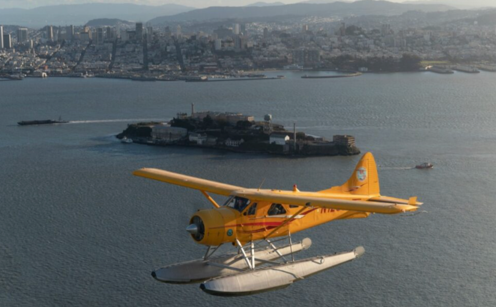
San Pablo sits on the receiving edge of the Bay—where tidal flats, salt marshes, and industrial waterfronts form a textured, almost cinematic landscape when seen from above. An airplane tour here is less about a single postcard view and more about layered observation: the braided patterns of creeks feeding San Pablo Bay; the patchwork of wetlands that host migratory shorebirds; the industrial docks and refineries that narrate the region’s working history; and the soft, green sweep of the East Bay hills rising behind the shoreline. Taken together, these features make the airspace above San Pablo unusually instructive. From the right altitude a 20–40 minute flight can function as a compact primer on Bay ecology, regional industry, and the geography that channels weather and human settlement.
Aerial experiences in and around San Pablo are diverse. Short scenic sorties give photographers and first-time flyers an expansive window seat on the Bay and its tributaries; introductory flights and discovery lessons let aspiring pilots learn fundamentals without committing to long-form training; and occasional vintage or specialty flights provide a period-piece view of the region while connecting passengers to the living culture of general aviation. Because San Pablo is close to a network of general aviation fields and coastal approaches, flights can be configured to emphasize wildlife viewing, shorelines, or skyline panoramas. On clear days Mount Diablo and other East Bay summits create a dramatic backdrop; on hazy mornings the low sun imbues the marshes with metallic light and long shadows that are particularly beautiful from the air.
The experience is inherently tactile. You’ll notice how the bay’s thermal patterns influence ride smoothness, how sunlight changes the color of water and salt flats, and how urban edges look from a thousand feet—human geometry arranged against natural curves. That sensibility—the blend of technical flying and sensory reward—is what draws travelers to airplane adventures here. Pairing flights with ground activities amplifies the trip: birding at nearby wetlands becomes richer when you’ve seen the full extent of the habitat from above; a shoreline paddle or a ridge hike reads differently once you’ve traced those same lines from the sky. Practically, airplane outings are short, highly customizable, and a useful option when ground traffic or time constraints make exploring the Bay’s dispersed sites difficult.
Because airplane experiences intersect with weather, aviation regulations, and sensitive habitats, planning matters. Operators can adjust routing to minimize disturbance to wildlife areas or to focus on landmarks you most want to see. Bring a sense of curiosity and a clear plan for what you want from the flight—photography, learning to fly, or simply a dramatic view—and you’ll find San Pablo’s skies a productive, unexpectedly intimate way to know the Bay.
Airplane trips over San Pablo are efficient: short flights cover long visual ground, letting you sample wetlands, industrial waterfront, and ridge lines without a lot of driving.
Clear light in late spring through early fall often yields the best visibility for photography and long-distance views; mornings tend to be calmer for smoother rides.
Choose by purpose
Whale watching, snorkeling, sunset sailing, cultural canoeing, harbor sightseeing, or private chartering.
Start near the city
Waikiki and Honolulu Harbor are primary hubs, with some trips launching near Hanauma Bay.
Confirm the vessel
Gangways, shaded seating, and boarding requirements vary according to vessel size and operator.