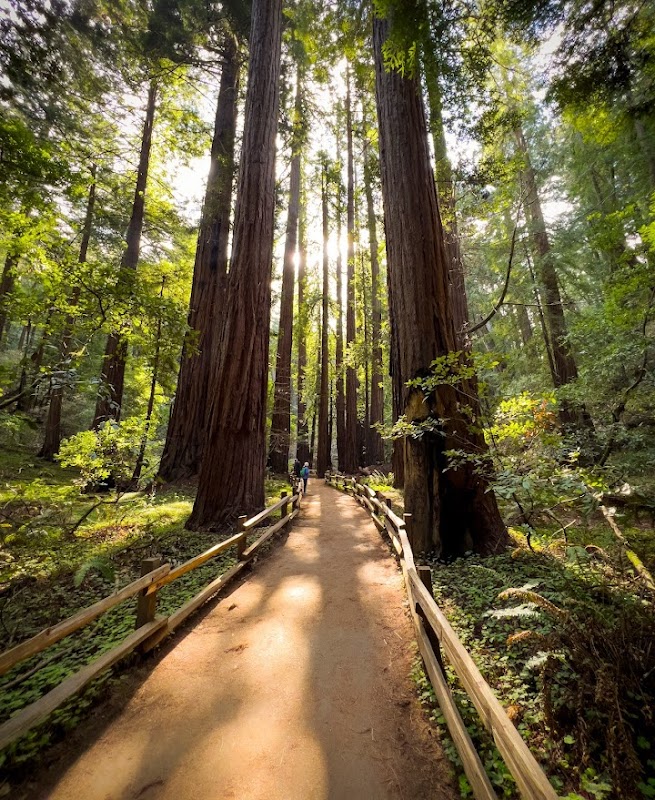
Wilderness Landscape & Natural Heritage
Carquinez Strait Regional Shoreline occupies approximately 1,800 acres along the northern edge of the Carquinez Strait in Contra Costa County, California. This regional park is characterized by rolling hills, native grasslands, oak woodlands, and shoreline along one of the key waterways that connect the Sacramento-San Joaquin River Delta to San Francisco Bay. The park’s geography includes steep bluffs overlooking the strait as well as forested ravines and creek corridors that support diverse flora and fauna. The landscape supports habitats for raptors such as red-tailed hawks and golden eagles, as well as deer and numerous songbird species. The park traces its human history to the indigenous Coast Miwok and Patwin peoples, followed by American settlers who used the area for ranching and transportation. Today, it provides visitors access to rugged trails with panoramic views, picnic areas with water vistas, and opportunities for wildlife spotting. Notable landmarks within the park include Crockett Hills, challenging hiking routes, and access points to the waterfront where visitors can view marine vessels navigating the strait below. The Carquinez Strait Regional Shoreline appeals to day hikers, bird watchers, and cyclists seeking outdoor recreation close to the urban Bay Area while exploring relatively undeveloped natural spaces.