Wilderness Landscape & Natural Heritage
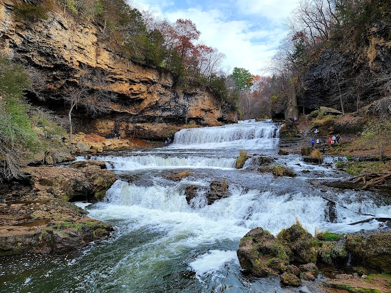
The Minnesota Valley State Trail spans approximately 27 miles from the Minneapolis suburb of Chaska eastward to the city of Shakopee, tracing the southern edge of the Twin Cities metropolitan area along the Minnesota River. The trail traverses hardwood forests, wetlands, prairie remnants, and river bluff landscapes, providing a valuable corridor for wildlife and outdoor enthusiasts alike. Developed and managed by the Minnesota Department of Natural Resources, the trail is designed for multiple uses including hiking, biking, and horseback riding during warmer months, and snowmobiling and cross-country skiing in winter. The trail corridor incorporates portions of the Minnesota Valley State Recreation Area, notable for its habitat restoration efforts, scenic river overlooks, and frequent sightings of native wildlife such as white-tailed deer, bald eagles, and herons. The trail also connects with local park systems and natural areas like Murphy-Hanrehan Park Reserve and Cleary Lake Regional Park. Visitors appreciate the blend of natural beauty and accessibility, with opportunities for birdwatching, fishing along the river, and photography among forested bluffs. Interpretive signage highlights the cultural history of the Dakota people who originally inhabited the region, as well as the area's agricultural development over the centuries. The trail's combination of natural views, varied topography, and multi-use accommodations makes it a popular destination for families and outdoor athletes seeking a scenic escape close to urban centers.