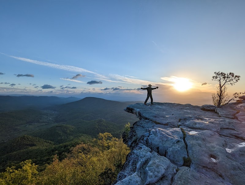
Wilderness Landscape & Natural Heritage
The Schuylkill River Trail stretches over 130 miles through Pennsylvania, running alongside the Schuylkill River from Philadelphia northwest to near Pottsville. This multi-use trail is continuously expanding and connects urban centers, suburban communities, and rural landscapes. The trail crosses a diversity of environments including riverfront parks, historic mills, former industrial sites, and forested riparian zones. It serves as a critical recreational corridor and commuter pathway. Ecologically, the trail corridor supports native vegetation along the riverbanks and serves as habitat for a variety of bird species, aquatic life, and small mammals. Historically, the area played a pivotal role during the Industrial Revolution with canal and railroad infrastructure that can still be glimpsed along portions of the trail. Recreation options include walking, running, biking, and paddling in the Schuylkill River itself, linking to other regional greenways and parks. Notable landmarks feature the iconic Manayunk Canal Towpath, Schuylkill Banks Park in Philadelphia with urban riverfront views, and historic structures in Valley Forge National Historical Park accessible via connecting trails. The trail's accessibility, scenic river views, and proximity to city centers make it a favored destination for day outings and extended adventures. It also hosts community events and supports ongoing efforts in river conservation and trail development. Visitors benefit from a blend of recreational diversity, natural beauty, and cultural heritage as they traverse this evolving outdoor resource.