Wilderness Landscape & Natural Heritage
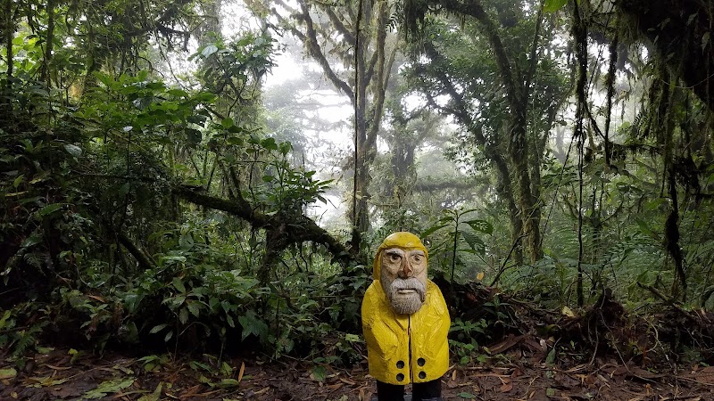
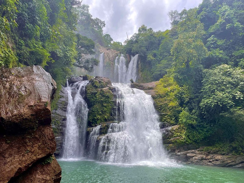
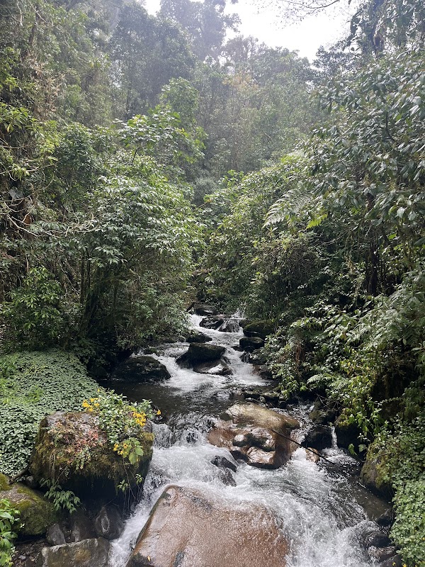
The Sendero Los Quetzales Conservation Area is a protected corridor spanning parts of the San José and Cartago provinces of Costa Rica. It covers a series of high-elevation cloud forests forming a critical habitat for various endangered and endemic species, most notably the Resplendent Quetzal, one of the region’s most iconic birds. The corridor connects Los Santos Forest Reserve and Tapantí National Park, creating a continuous passage that supports wildlife movement and ecological integrity across fragmented forest zones. This conservation area features steep, rugged terrain with elevations ranging from approximately 1,200 to 3,000 meters above sea level, supporting diverse flora such as amate trees, orchids, bromeliads, and a wide variety of epiphytes. The cloud forest conditions offer constant mist and high humidity, contributing to the area's lush vegetation. Outdoor recreation is focused on hiking and birdwatching along the Sendero Los Quetzales trail, a highly regarded trail that runs between the towns of Cerro de la Muerte and San Gerardo de Rivas. The trail traverses rich forest environments, making it possible to spot quetzals, toucans, hummingbirds, and other wildlife. In addition to hiking, the area supports nature photography, educational tours, and conservation activities. Access points include small mountain villages which provide lodging and local culture experiences. The conservation area's efforts are centered on preserving biodiversity, preventing deforestation, and promoting sustainable eco-tourism. The high elevation and relatively cool climate offer a refreshing contrast to the tropical lowlands and make Sendero Los Quetzales a favorite destination for naturalists and adventurous travelers.