Bureau of Land Management - Moab Field Office wilderness guide
Public Lands · UT
Scenic Drives Guide

Bureau of Land Management - Moab Field Office

The Bureau of Land Management (BLM) Moab Field Office offers expansive landscapes featuring diverse geologic formations and abundant recreation opportunities, attracting outdoor enthusiasts to Southern Utah.

Public Lands1.8 million4+ Trails

Designation

Public Lands

Total Wilderness Area

1.8 million

Elevation / Terrain

Diverse Wilderness

Field Editorial Guide

About Bureau of Land Management - Moab Field Office

The Bureau of Land Management (BLM) Moab Field Office offers expansive landscapes featuring diverse geologic formations and abundant recreation opportunities, attracting outdoor enthusiasts to Southern Utah.

Wilderness Landscape & Natural Heritage

The Bureau of Land Management - Moab Field Office manages a vast area in Southeastern Utah, encompassing 1.8 million acres of varied topography that includes dramatic desert landscapes, mesas, river canyons, and arches. Geologically significant, this area showcases the transition between the high desert ecosystem and the Colorado River watershed. Visitors can explore historical sites, such as Native American petroglyphs and remnants of early mining operations. The region is also home to a diverse array of wildlife, including mule deer, desert bighorn sheep, and golden eagles. This field office provides renowned recreational activities, such as hiking, mountain biking, and 4x4 adventures, with much of this centered around iconic landmarks like Moab Rim, Gemini Bridges, and the Slickrock Bike Trail. The area also supports ecological research and conservation, with initiatives aimed at protecting fragile desert ecosystems and cultural heritage sites.
Field Guide · Public Lands

Notable Landscape Features

Iconic geological landmarks, alpine vantage points, and distinctive ecosystems in Bureau of Land Management - Moab Field Office.

Feature 1

Gemini Bridges

Twin natural rock spans accessible by 4WD or mountain bike, offering impressive views of Bull Canyon below.

Feature 2

Potash-Lower Colorado River Scenic Byway

A picturesque drive featuring Native American rock art and access to the scenic Colorado River.

Feature 3

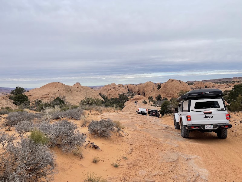
Hell's Revenge Trail

An extreme off-road vehicle trail that challenges drivers with steep inclines and narrow ridges.

Key Wilderness Highlights

Canyonlands National Park ViewpointsSlickrock Bike TrailPictographs and Petroglyphs on Potash RoadArches Scenic Drive
Iconic Trails & Natural Landmarks

Top Trails & Sights in Bureau of Land Management - Moab Field Office

Discover summit paths, alpine loops, and natural wonders within this protected wilderness.

Challenging12 miles

Slickrock Bike Trail

A world-famous mountain biking trail known for its challenging terrain and scenic sandstone landscapes.

Moderate4.4 miles

Fisher Towers Trail

A hiking trail featuring unique sandstone spires and panoramic desert views.

Challenging7 miles

Moab Rim Trail

A challenging trail for hikers and off-roaders with breathtaking views of the Colorado River and Moab Valley.

Moderate4.5 miles

Negro Bill Canyon Trail

Offers a scenic hike along a creek winding through a deep canyon with ample shade and a view of Morning Glory Arch.

Wilderness Recreation

Outdoor Adventures in Bureau of Land Management - Moab Field Office

Explore curated guides for top outdoor sports, trail networks, and wilderness activities.

Activity Spotlight

Scenic Drives in Bureau of Land Management - Moab Field Office

View Full Park Guide

Bureau of Land Management - Moab Field Office offers exceptional terrain and routes for scenic drives, featuring established access paths, scenic vistas, and protected wilderness territory.

Other Activities in Bureau of Land Management - Moab Field Office:HikingCampingWildlife ViewingMountain BikingPhotographyRock ClimbingATV RidingStargazing
The Ranger Station

Visitor Logistics & Essential Planning

Everything you need to know about entrance passes, seasons, visitor centers, road transit, and wildlife safety in Bureau of Land Management - Moab Field Office.

Passes & Fees

Entrance Requirements & Interagency Passes

No permits or fees required for general access, but certain activities like rafting may need permits.

Wilderness Checklist

Carry paper topographic map & compass in remote zones.
Store all food and scented items in approved bear canisters.
Check wildfire / smoke advisories before backcountry departure.
Pack out everything you pack in (Leave No Trace).
Wilderness Stays

Camping & Overnight Stays in Bureau of Land Management - Moab Field Office

Frontcountry developed campgrounds, backcountry wilderness permit guidelines, and starry-night camping advice.

Sand Flats Recreation Area

Close to the Slickrock Bike Trail and off-road vehicle areas, offering amenities like fire rings and vault toilets.

Big Bend Campground

Located along the Colorado River, featuring beautiful canyon views and river access.

Adventure Basecamps

Gateway Towns Near Bureau of Land Management - Moab Field Office

Stay, dine, and gear up in these mountain towns and scenic desert basecamps surrounding the park.

Moabi, Gabon, UT
Gateway Basecamp

Moabi, Gabon, UT

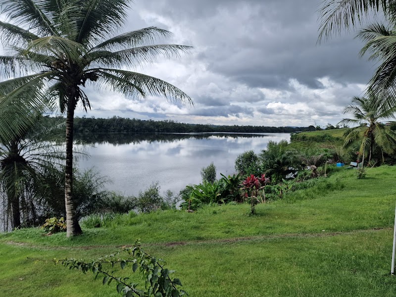
Moabi in Gabon is a remote gateway to Central African rainforests and the Ogooué River, perfect for hiking, paddling, and wildlife watching. Visitors can camp riverside and explore nearby national parks during the dry season.

Dry season (June to September)Explore Town