Hiking the Ellicott Rock Wilderness Trail
Adventure Destination

Hiking the Ellicott Rock Wilderness Trail

Explore the Ellicott Rock Wilderness Trail near Cashiers, NC, a serene 8-mile round-trip with moderate difficulty. Best visited in fall, it's popular for hiking, fishing, and primitive camping amidst historical landmarks and vibrant foliage.

Hiking7.6/10Moderate
Photo Gallery

Category

Hiking

Typical Duration

2-4 hours

Difficulty

Moderate

About This Adventure Destination

The Ellicott Rock Wilderness Trail, located near the charming town of Cashiers in western North Carolina, offers a rare blend of natural beauty and history in the Appalachian Mountains. This rugged wilderness area is centered around Ellicott Rock, a marker set in 1811 by surveyor Andrew Ellicott to define the boundary between North Carolina, South Carolina, and Georgia. The trail and surrounding land are prized for their unspoiled forests, crystal-clear waters, and diverse ecosystems.

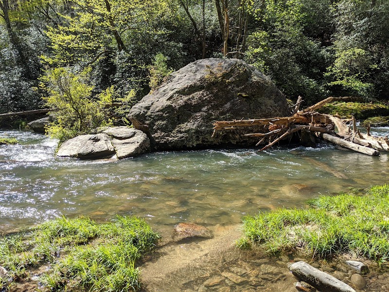
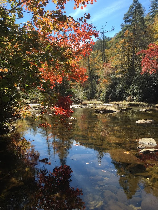
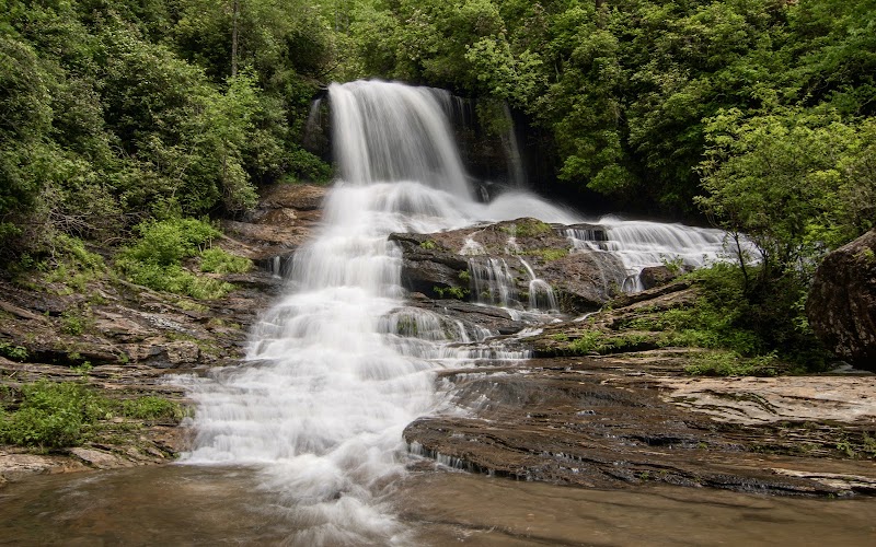
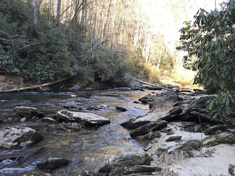
The trail winds through dense hardwood forests, travels along the tranquil Chattooga River—a designated Wild and Scenic River—and passes dramatic rock formations that spark both curiosity and admiration. Towering hemlocks and rhododendrons create rich green corridors, while the surrounding wildlife includes river otters, deer, and occasionally black bears, bringing life to the peaceful setting. Visitors often appreciate the natural geology, especially those interested in rock collecting and soil history, making it a favored spot for educational outings. The river’s rushing waters provide a soothing soundtrack to hikes, while the area's isolation offers a quiet retreat from busier parks.

Unlike typical hiking spots, the Ellicott Rock Wilderness Trail stands out with its blend of wilderness solitude and tangible history, allowing visitors to appreciate both nature’s artistry and human craftsmanship in early American boundary-making. The absence of heavy crowds and minimal development makes every visit feel like a personal encounter with the landscape. Whether for a day hike or an extended trek, this trail invites visitors to connect meaningfully with the mountains that define this corner of the Southeast.


Editorial Assessment

Ellicott Rock Wilderness Trail is a remarkable place to visit with its combination of historical significance and natural beauty. Its lower score reflects its more local appeal compared to globally recognized landmarks.
Hiking the Ellicott Rock Wilderness Trail

Adventure Guide to Hiking the Ellicott Rock Wilderness Trail

1

1. Trail Hiking and Historical Viewing

  • Details: **Location**: Ellicott Rock Trail along the Chattooga River.
  • Details: **Why It’s Special**: This trail offers moderate to challenging hiking with scenic river views and access to the historic Ellicott Rock boundary marker.
  • Details: **Key Features**: Rock formations, river crossings, dense forest, and quiet natural surroundings.
  • Details: **Local Insights**: The rock marker was placed in 1811 to settle a tri-state border dispute, making it a unique cultural landmark.
  • Details: **Visitor Tips**: Visit between late spring and early fall for mild weather. Bring sturdy hiking shoes, water, and insect repellent. Parking is limited, so early arrival is best.
2

2. Rock Collecting and Geology Learning

  • Details: **Location**: Along various sections of the trail and riverbanks.
  • Details: **Why It’s Special**: The area exposes fascinating geological formations including metamorphic and igneous rocks.
  • Details: **Key Features**: Smooth riverboulders, layered stone outcrops, and clear soil profiles.
  • Details: **Local Insights**: Many visitors come with children or geology enthusiasts to study rock types; some report spotting rare mineral deposits.
  • Details: **Visitor Tips**: Bring a small hand lens or magnifier and a guidebook on Appalachian geology. Remember to respect conservation guidelines.
3

3. Camping and Multi-Day Hiking Trips

  • Details: **Location**: Backcountry campsites near trailheads and river sections.
  • Details: **Why It’s Special**: Offers remote camping in an undisturbed wilderness setting, perfect for multi-day hikes or overnight trips.
  • Details: **Key Features**: Secluded campsites, campfire rings, and access to pristine river water (bring filtration).
  • Details: **Local Insights**: Some camping spots are informal and may not appear on standard maps; local ranger stations can provide current locations.
  • Details: **Visitor Tips**: Carry bear-proof food storage, pack out all trash, and prepare for changing mountain weather. Best to camp late spring through early fall.
4

Getting There

  • Overview: From Cashiers, NC, the trailhead is approximately a 15-minute drive southwest. Follow local signage toward Bull Pen Road or river access points. The rugged drive and limited cell reception mean a paper map or GPS with offline capability is helpful. Ellicott Rock Wilderness Trail stands as a quiet refuge for nature lovers, history buffs, and adventurers looking to connect with the Appalachian outdoors in a meaningful and memorable way.

Reviews

M
Matt rice2 years ago

Nice hike

J
Johnny U. Kitchens5 years ago

Totally isolated, quiet, and natural wilderness to see and touch a historical site.

R
Ronald Scott Green6 years ago

Great destination! Enjoyed the open trail and peaceful outdoor atmosphere.

K
Kelly Walker7 years ago

I love this place. I have recently taken up rock collecting. I learned so much here and continue to come back. This is an exceptional place to explore our mountains and how rocks are formed. I will continue to visit here every chance I get. Great place for children to learn about their soil. Wonderful

C
Chancey Forkey7 years ago

Loved our hike over 3 days. Wish the established camping locations were on the map

Nearby Adventures

Bookable Experiences

Lake Keowee at Dusk: A 90‑Minute Tropical Cruise Past Waterfalls and Mountain Vistas21.7 mi
Six Mile, South Carolina

Lake Keowee at Dusk: A 90‑Minute Tropical Cruise Past Waterfalls and Mountain Vistas

A 90-minute Lake Keowee cruise that threads tranquil water, waterfalls and mountain views — this guide explains what to expect and how to prepare.

21.7 miView Trips & Details →
Vistas & Waterfalls: Asheville’s Guided Landscape and Waterfall Photography Sessions50.2 mi
Asheville, North Carolina

Vistas & Waterfalls: Asheville’s Guided Landscape and Waterfall Photography Sessions

A hands-on photography tour in and around Asheville that leads you to grand vistas, waterfalls and intimate forest scenes and explains what to expect on half- and full-day outings.

50.2 miView Trips & Details →
Secluded Half-Day Fly Fishing on Private Chauga River Waters10.1 mi
Salem, South Carolina

Secluded Half-Day Fly Fishing on Private Chauga River Waters

A four-hour, private-water fly-fishing outing on the Chauga River near Salem — useful for planning booking, group size, and what to expect on this managed stretch.

10.1 miView Trips & Details →
TukTuk Through Beer City USA: A 2‑Hour Electric Brewski Hop in Asheville50.0 mi
Asheville, North Carolina

TukTuk Through Beer City USA: A 2‑Hour Electric Brewski Hop in Asheville

A 2‑hour electric TukTuk tour that stops at up to three breweries across Downtown, the River Arts District, or West Asheville—this guide explains what to expect and how to prepare.

50.0 miView Trips & Details →
Flatwater Freedom: Day SUP Rentals Across Transylvania County’s Lake Network19.6 mi
Transylvania County, North Carolina

Flatwater Freedom: Day SUP Rentals Across Transylvania County’s Lake Network

Day, two-day, and three-day stand-up paddleboard rentals delivered to local lakes with a brief lesson for beginners—this guide explains how to reserve, what to expect, and which boards suit remote outings.

19.6 miView Trips & Details →
Four Hours on Lake Jocassee: Private Waterfalls, Swim Time, and Quiet Company11.3 mi
Salem, South Carolina

Four Hours on Lake Jocassee: Private Waterfalls, Swim Time, and Quiet Company

A private, four-hour boat charter that guides your group to Lake Jocassee’s major waterfalls, offers swim time, and includes discussion of the lake’s history.

11.3 miView Trips & Details →