Discovering Ellicott Rock: A Hidden Gem in the Chattooga River
Adventure Destination

Discovering Ellicott Rock: A Hidden Gem in the Chattooga River

Explore the historic Ellicott Rock, marking the tri-state boundary, with scenic hiking in South Carolina's wilderness. Enjoy kayaking and fishing in the Chattooga River. Accessible spring and fall, this remote area offers serene trails and wildlife spotting.

Hiking7.5/10Moderate
Photo Gallery

Category

Hiking

Typical Duration

2-4 hours

Difficulty

Moderate

About This Adventure Destination

Located in the scenic Appalachian region of South Carolina, Ellicott Rock offers a unique blend of natural beauty and historical intrigue. This landmark is famous for being the point where surveyors marked the boundary between North Carolina, South Carolina, and Georgia in 1811. Carved with an 'N' by surveyor Andrew Ellicott, the rock sits under the cool waters of the Chattooga River, providing a tangible connection to the past while surrounded by a breathtaking wooded landscape.

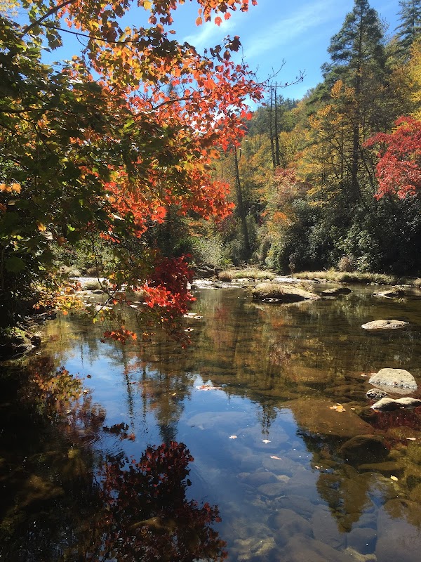
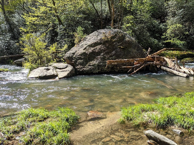
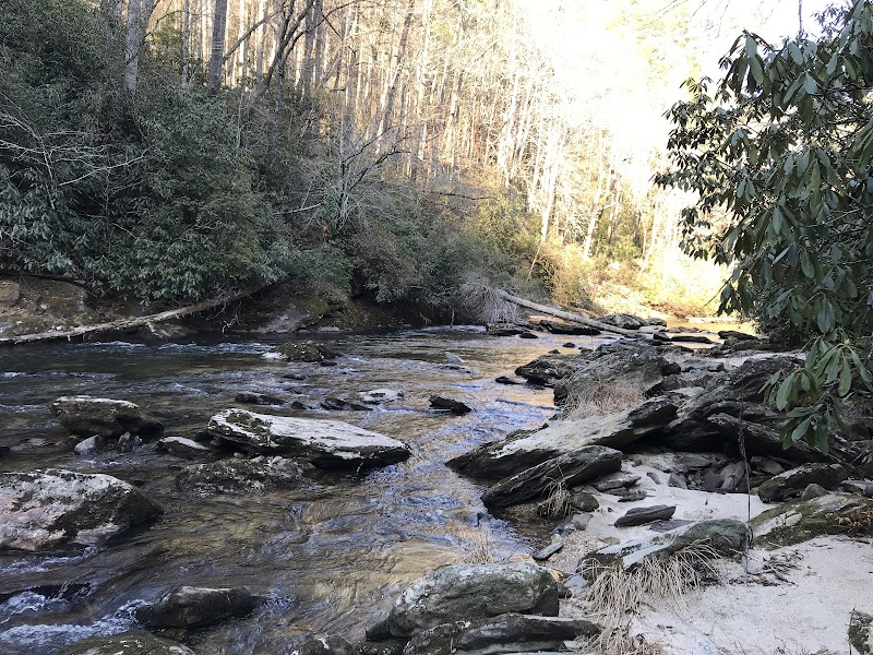
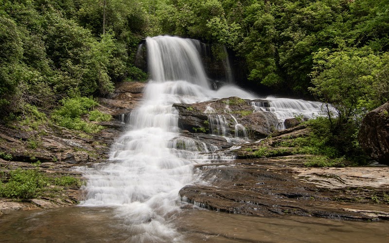
The area around Ellicott Rock features lush greenery, clear flowing waters, and serene trails that invite adventurers and nature lovers alike. Visitors can enjoy the picturesque views of the river and watch as it winds through dense forests, creating a haven for local flora and fauna. The region is home to diverse wildlife, including deer, black bears, and numerous bird species, making it a delightful spot for wildlife enthusiasts.

Beyond its natural allure, the historical significance of Ellicott Rock adds a fascinating layer of interest. It was a pivotal point in early American surveying and continues to draw visitors interested in both history and the great outdoors. Whether you're seeking a peaceful retreat along the river or curious about this historical artifact, Ellicott Rock delivers a rewarding experience for all.

Editorial Assessment

Ellicott Rock is a captivating destination with rich natural beauty and historical significance. While it may not be globally iconic, it offers unique outdoor adventures and a remarkable connection to American history through its marked boundary rock and scenic river surroundings.
Discovering Ellicott Rock: A Hidden Gem in the Chattooga River

Adventure Guide to Discovering Ellicott Rock: A Hidden Gem in the Chattooga River

1

Experience Discovering Ellicott Rock: A Hidden Gem in the Chattooga River

  • Special Features: Explore the historic Ellicott Rock, marking the tri-state boundary, with scenic hiking in South Carolina's wilderness. Enjoy kayaking and fishing in the Chattooga River. Accessible spring and fall, this remote area offers serene trails and wildlife spotting.
  • Visitor Tips: Best time to visit is during Spring and Fall. Bring adequate water, appropriate outdoor gear, and camera.
  • Directions: Ellicott Rock, South Carolina 28717, USA
2

Exploring Near Walhalla, South Carolina

  • Local Insights: Offers direct access to top trails, protected natural reserves, and picturesque viewpoints across Walhalla, South Carolina.
  • Visitor Tips: Check local regulations, trail conditions, and weather before heading out.
3

Photography and Wildlife

  • Special Highlights: Watch for native wildlife including Deer, Black Bears, Birds.
  • Visitor Tips: Arrive in early morning or late afternoon for the softest lighting and quieter trails.

Reviews

P
Peter Ka year ago

After reading about the difficulties many have had finding this and Commissioner's Rock, I felt fortunate today in locating both of them, and wanted to share whatever tips I could to help others. I hiked from the Walhalla SC fish hatchery (worth a quick visit) on the East Fork Trail until it connected with the Chattooga Trail, then headed on that trail upstream along the river. After about 1.5 miles the trail has a wood plank crossing of a small side stream. A few minutes past that you'll see a dead tree with a spray paint arrow pointing down, a small cord tied to a nail in the tree, and a small survey disk facing the trail. You then have to climb down to the river. Ellicott Rock is no "HOLLYWOOD" sign - it's small with letters N G on a damp mossy rock, recessed beneath a number of Rhodedendron branches. About 15 feet downstream is Commissioner's Rock - I was able to precariously make it there by climbing over a dead tree along the riverside. It's faded over time and can be hard to make out. I then steeply climbed back up to the trail. I've attached pictures of all this, as there aren't any signs or clear landmarks.

S
Spencer Skelley3 years ago

Great destination! Enjoyed the open trail and peaceful outdoor atmosphere.

B
Brian4 years ago

Its a good walk from the SC side, Do it!

G
Grant Masini4 years ago

Trail is well-kept - only the last couple hundred yards before the rock ask you to climb over logs and up and down slippery rocks. It had rained all night the night before but things still weren’t that muddy. As others have said, come prepared to hunt for the rock. It is not marked correctly on Google. Also, my phone didn’t deal well with being right on the borders of multiple states and counties. Changed my date/time and messed up other functions until I got out. So don’t rely on your phone too much - like any wilderness!

J
James Sharp4 years ago

The Ellicott Rock Wilderness is magical. I've hiked the CRT from Burrell's Ford twice in 2021. The first time, in June, I wasn't prepared for the water crossing at Bad Creek. So I decided to head back and see Spoon Auger and King's Creek Falls. The second time, in Oct, I got to within a few hundred yards of the rock. But a tricky section of trail caused me to turn back. Again. The area had had a lot of rain just prior to my visit. There were several treacherous sections - one before East Fork and another past Bad Creek. Wet rocks and steep drops were a bit scary. Awesome place. But, IMO, not for the casual hiker. I would not take young children. I'm going to try one more time to get to Ellicott Rock. But next time, I plan to hike in on Bad Creek Trail.

Nearby Adventures

Bookable Experiences

Lake Keowee at Dusk: A 90‑Minute Tropical Cruise Past Waterfalls and Mountain Vistas21.3 mi
Six Mile, South Carolina

Lake Keowee at Dusk: A 90‑Minute Tropical Cruise Past Waterfalls and Mountain Vistas

A 90-minute Lake Keowee cruise that threads tranquil water, waterfalls and mountain views — this guide explains what to expect and how to prepare.

21.3 miView Trips & Details →
Secluded Half-Day Fly Fishing on Private Chauga River Waters9.38 mi
Salem, South Carolina

Secluded Half-Day Fly Fishing on Private Chauga River Waters

A four-hour, private-water fly-fishing outing on the Chauga River near Salem — useful for planning booking, group size, and what to expect on this managed stretch.

9.38 miView Trips & Details →
Flatwater Freedom: Day SUP Rentals Across Transylvania County’s Lake Network20.9 mi
Transylvania County, North Carolina

Flatwater Freedom: Day SUP Rentals Across Transylvania County’s Lake Network

Day, two-day, and three-day stand-up paddleboard rentals delivered to local lakes with a brief lesson for beginners—this guide explains how to reserve, what to expect, and which boards suit remote outings.

20.9 miView Trips & Details →
Four Hours on Lake Jocassee: Private Waterfalls, Swim Time, and Quiet Company10.7 mi
Salem, South Carolina

Four Hours on Lake Jocassee: Private Waterfalls, Swim Time, and Quiet Company

A private, four-hour boat charter that guides your group to Lake Jocassee’s major waterfalls, offers swim time, and includes discussion of the lake’s history.

10.7 miView Trips & Details →
Close Encounters: Capybaras and Coffee at Capyfriends Cafe in Helen40.9 mi
Helen, Georgia

Close Encounters: Capybaras and Coffee at Capyfriends Cafe in Helen

A short, per-person visit to meet and interact with gentle capybaras—this guide lays out what to expect, where to meet, and the practical details for the experience.

40.9 miView Trips & Details →
Cleaning the Upper French Broad: A Day of Canoes, Community and Concrete Results in Rosman18.1 mi
Rosman, NC

Cleaning the Upper French Broad: A Day of Canoes, Community and Concrete Results in Rosman

A long-running volunteer event that pairs a free canoe ride with breakfast, lunch and coordinated river clean-up to remove tires, bags and other debris from the Upper French Broad.

18.1 miView Trips & Details →