Wilderness Landscape & Natural Heritage
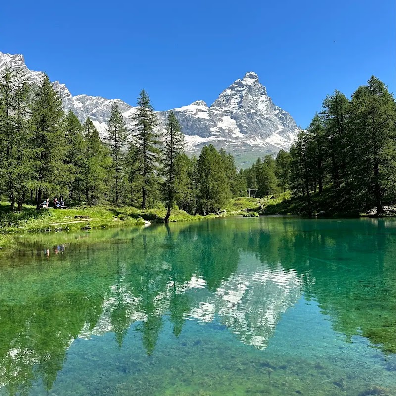
The Glarus Alps UNESCO Geopark lies primarily in the canton of Glarus and adjacent regions of the Swiss Alps. It is internationally recognized for its remarkable geological formations, notably the Glarus thrust – a rare and visible thrust fault that provides crucial evidence for plate tectonics. The geopark spans rugged alpine terrain characterized by soaring peaks, deep valleys, and glacial features. Its diverse geology includes limestone, shale, and granite, revealing over 250 million years of Earth’s history displayed in dramatic cliffs and rock walls. The flora and fauna of the Glarus Alps reflect alpine and subalpine ecosystems, with forests of spruce and fir, alpine meadows, and habitats supporting species such as marmots, chamois, and golden eagles. The region's cultural history dates back centuries, with alpine farming traditions, historic villages, and mining heritage represented. Outdoor recreation is abundant, with well-marked hiking and climbing routes, mountain biking trails, and via ferratas that attract adventure seekers and geology enthusiasts alike. Noteworthy landmarks include the Tectonic Arena Sardona, a transnational World Heritage Site incorporated within the geopark, and prominent peaks such as Tödi, the highest summit in the range. Visitors benefit from charming mountain villages such as Elm and Linthal, which offer access to trailheads and local museums highlighting geology and natural history. The Glarus Alps UNESCO Geopark is a premier destination for those interested in natural history, outdoor activities, and alpine scenery.