Bluestack Mountains Special Area of Conservation wilderness guide
Special Area of Conservation · Donegal, Ireland

Bluestack Mountains Special Area of Conservation

The Bluestack Mountains Special Area of Conservation is a pristine upland region in County Donegal, Ireland, known for its rugged landscapes, diverse habitats, and rich biodiversity, offering excellent opportunities for hiking, wildlife observation, and appreciation of natural beauty.

Special Area of ConservationApproximately 23,000 acres (9,300 hectares)4+ Trails

Designation

Special Area of Conservation

Total Wilderness Area

Approximately 23,000 acres (9,300 hectares)

Elevation / Terrain

Diverse Wilderness

Field Editorial Guide

About Bluestack Mountains Special Area of Conservation

The Bluestack Mountains Special Area of Conservation is a pristine upland region in County Donegal, Ireland, known for its rugged landscapes, diverse habitats, and rich biodiversity, offering excellent opportunities for hiking, wildlife observation, and appreciation of natural beauty.

Wilderness Landscape & Natural Heritage

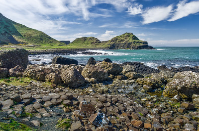
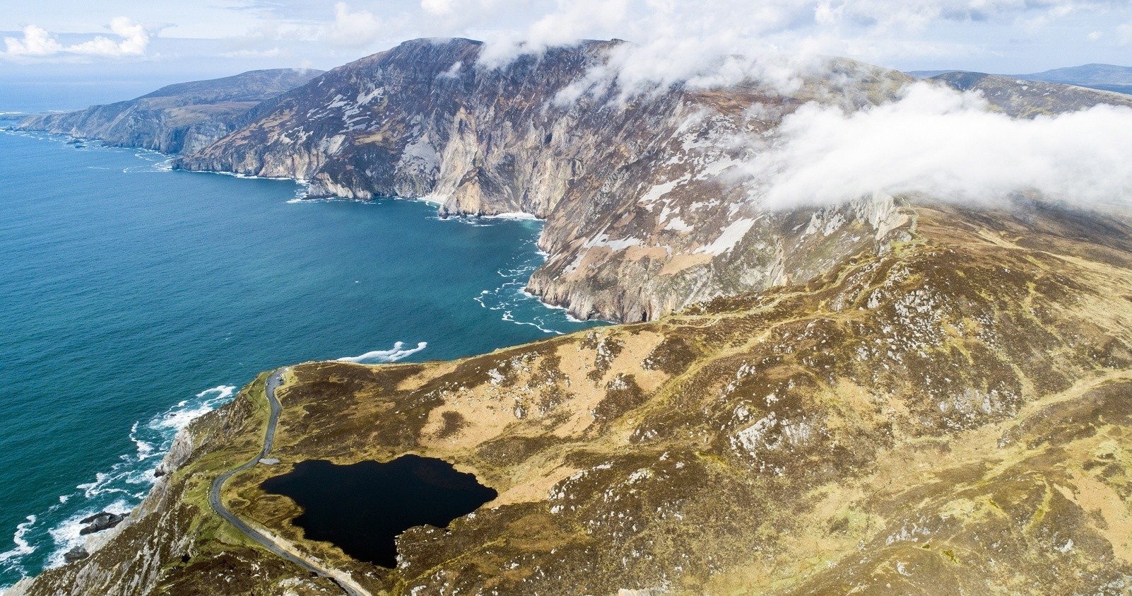
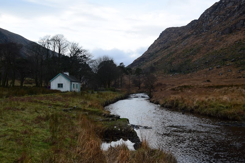
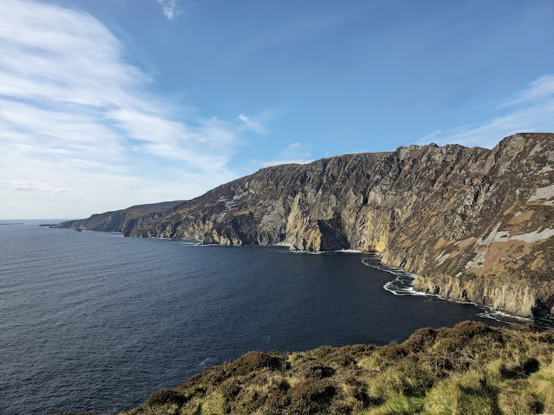
Located in southwest County Donegal, the Bluestack Mountains Special Area of Conservation (SAC) encompasses one of the most significant upland environments in northwest Ireland. This protected area is characterized by a diverse mosaic of habitats including upland blanket bog, montane heath, native woodlands, and species-rich grasslands, all situated in rugged mountainous terrain. The Bluestacks form a prominent mountain range boasting peaks such as Croaghgorm, which rises to 674 meters (2,211 feet), providing panoramic views across Donegal and towards the Atlantic Ocean. The SAC is a critical refuge for many rare and protected species including hen harriers, red grouse, Irish hare, and a variety of mosses and lichens that thrive in this relatively undisturbed environment. The geology is primarily composed of ancient Dalradian schists, which contributes to the acidic soils that support unique upland habitats. Historically, this area has seen limited development, preserving its wild character and cultural relevance, with traditional sheep grazing practices continuing to shape the landscape. Outdoor enthusiasts can explore numerous marked and unmarked trails that thread through heather moorlands, alongside mountain streams and open summits. The area is also valued for its dark skies and tranquil atmosphere, making it a favored destination for nature photographers, birdwatchers, and hillwalkers. Access is typically achieved via local roads linking small villages surrounding the mountains such as Glenties and Ardara. Visitor appeal comes from its combination of scenic beauty, ecological importance, and opportunities for peaceful immersion in wild upland Ireland.
Field Guide · Special Area of Conservation
Adventure Destinations

Notable Destinations Near Bluestack Mountains Special Area of Conservation

Scenic viewpoints, outdoor landmarks, and notable points of interest within 60 miles.

Key Wilderness Highlights

✦ Croaghgorm Peak – the highest point in the Bluestack Mountains offering sweeping panoramic views✦ Extensive tracts of intact blanket bog supporting rare peatland flora and fauna✦ Traditional rural landscapes shaped by sheep farming and Gaelic heritage✦ Remote upland trails with opportunities to spot hen harriers and red grouse in their natural habitat
Wilderness Recreation

Outdoor Adventures in Bluestack Mountains Special Area of Conservation

Explore curated guides for top outdoor sports, trail networks, and wilderness activities.

Park Recreation

Hiking

Available in Bluestack Mountains Special Area of Conservation
Park Recreation

Wildlife Viewing

Available in Bluestack Mountains Special Area of Conservation
Park Recreation

Photography

Available in Bluestack Mountains Special Area of Conservation
Park Recreation

Birdwatching

Available in Bluestack Mountains Special Area of Conservation
Park Recreation

Hillwalking

Available in Bluestack Mountains Special Area of Conservation
Park Recreation

Nature Study

Available in Bluestack Mountains Special Area of Conservation
Park Recreation

Botany

Available in Bluestack Mountains Special Area of Conservation
Park Recreation

Cultural Heritage Exploration

Available in Bluestack Mountains Special Area of Conservation
Park Recreation

Trail Running

Available in Bluestack Mountains Special Area of Conservation
Park Recreation

Landscape Painting

Available in Bluestack Mountains Special Area of Conservation
The Ranger Station

Visitor Logistics & Essential Planning

Everything you need to know about entrance passes, seasons, visitor centers, road transit, and wildlife safety in Bluestack Mountains Special Area of Conservation.

Passes & Fees

Entrance Requirements & Interagency Passes

Free access; no permits required but visitors should respect protected habitats and follow Leave No Trace principles.

Wilderness Checklist

Carry paper topographic map & compass in remote zones.
Store all food and scented items in approved bear canisters.
Check wildfire / smoke advisories before backcountry departure.
Pack out everything you pack in (Leave No Trace).
Adventure Basecamps

Gateway Towns Near Bluestack Mountains Special Area of Conservation

Stay, dine, and gear up in these mountain towns and scenic basecamps surrounding the park.

Glenties, County Donegal
⌖ 3.81 miles
Gateway Basecamp

Glenties, County Donegal

Glenties is a peaceful town in County Donegal surrounded by the rugged Bluestack Mountains. It’s perfect for hiking, biking, fishing, and paddling in a quiet, scenic setting, ideal for nature lovers seeking an authentic Irish outdoor experience.

Late Spring to Early Autumn
Explore Town
Mountcharles, County Donegal
⌖ 7.88 miles
Gateway Basecamp

Mountcharles, County Donegal

Mountcharles is a peaceful coastal village in Donegal, perfect for hiking, kayaking, and fishing enthusiasts seeking authentic wilderness and serene seaside adventure.

Late Spring to Early Autumn
Explore Town
Ardara, County Donegal, Ireland
⌖ 7.92 miles
Gateway Basecamp

Ardara, County Donegal, Ireland

Ardara, County Donegal offers a rugged coastal adventure with hiking in the Bluestack Mountains, sea kayaking off the Wild Atlantic Way, and authentic Irish culture rich in tradition and natural beauty.

Late Spring to Early Autumn
Explore Town
Ardara, County Donegal
⌖ 7.92 miles
Gateway Basecamp

Ardara, County Donegal

Ardara is a scenic town in Donegal perfect for hikers, bikers, and paddlers seeking rugged mountains and Atlantic coast beauty. Its trails, fishing spots, and authentic culture make it a rewarding base for outdoor adventure lovers.

Late Spring to Early Autumn
Explore Town
Gweedore, County Donegal, Ireland
⌖ 8.43 miles
Gateway Basecamp

Gweedore, County Donegal, Ireland

Gweedore offers rugged coastal cliffs, mountain trails, and Gaelic culture set against the wild Atlantic. Perfect for hiking, kayaking, and immersing in traditional Donegal landscapes and seascapes.

Late Spring to Early Autumn
Explore Town
County Donegal, Ireland
⌖ 8.43 miles
Gateway Basecamp

County Donegal, Ireland

County Donegal offers rugged mountains, soaring sea cliffs, and world-class surfing along Ireland’s wild Atlantic coast. Perfect for hikers, paddlers, and road trippers seeking raw natural beauty and authentic local culture.

Late Spring to Early Autumn
Explore Town
Expert-Led Wilderness Expeditions

Guided Experiences in Bluestack Mountains Special Area of Conservation

Explore scenic backcountry routes and epic wilderness adventures with certified local mountain guides, naturalists, and outfitters.

Summer Shoreline School: Kids Camp Portsalon on the Wild Atlantic
ADVEXPEDITION
Lackagh, County Donegal
Water ActivitiesADV Bookable

Summer Shoreline School: Kids Camp Portsalon on the Wild Atlantic

A focused two-hour daily program from Eco Atlantic Adventures that keeps children active with kayaking, coasteering, pier-jumping and beach games along Portsalon’s coastline — this guide explains what to expect and how the camps run.

Water ActivitiesPT2HCertified Outfitter
Bookable OnlineBook Trip
Dune Gallop: A 1½‑Hour Beginner Ride Along Tullan Strand
ADVEXPEDITION
Bundoran, County Donegal
Guided TourADV Bookable

Dune Gallop: A 1½‑Hour Beginner Ride Along Tullan Strand

A supervised 1½ hour experience from Donegal Equestrian Centre that begins with a half‑hour arena assessment before traversing the Sand Dune Trail alongside Tullan Strand; this guide clarifies who the ride suits, the course, and booking essentials.

Guided TourPT2HCertified Outfitter
Bookable OnlineBook Trip
Across the Ridges: A Novice 1½‑Hour Dune Ride from Bundoran
ADVEXPEDITION
Bundoran, County Donegal
Guided TourADV Bookable

Across the Ridges: A Novice 1½‑Hour Dune Ride from Bundoran

A guided 1½‑hour novice ride that combines a pre‑ride assessment with long trotting stretches through sand dunes and coastal mountain views — this guide explains what to expect and how to prepare.

Guided TourPT2HCertified Outfitter
Bookable OnlineBook Trip
Across the Tullan Dunes: A Two‑Hour Novice Sand‑Dune Ride from Bundoran
ADVEXPEDITION
Bundoran, County Donegal
Sightseeing TourADV Bookable

Across the Tullan Dunes: A Two‑Hour Novice Sand‑Dune Ride from Bundoran

A two-hour sand‑dune ride run from Donegal Equestrian Centre that includes a half‑hour assessment lesson and is offered as private bookings—this guide describes what to expect, who fits the ride, and practical details.

Sightseeing TourPT2HCertified Outfitter
Bookable OnlineBook Trip