Behind the Curtain at Dry Falls: A Short Walk to a Big Moment in Western North Carolina

Behind the Curtain at Dry Falls: A Short Walk to a Big Moment in Western North Carolina

Walk behind a curtain of water on a short, accessible trail in the southern Appalachians

Continue Reading

You approach Dry Falls the way most travelers do — along a green, ribboned stretch of US 64 with the Cullasaja River murmuring somewhere off to your right. The parking pullout is small, the signs are modest, and then the landscape does what the mountains do best: it rearranges your attention. A wooden stair and stone step lead you to a recessed ledge, and for a few breaths you stand below a sheet of water falling cleanly from a rocky lip. The torrent is loud enough to make conversation unnecessary; the mist frames the trees like a slow-motion lens flare. Walk behind the curtain and the world becomes private for a moment — the sound presses in, the rock is cool underfoot, and you remember why people come to these hills.

Dry Falls sits on the Cullasaja River in Western North Carolina, a compact drama in a landscape of long views. It’s not the tallest cascade in the region, but it’s one of the most democratic: accessible, photogenic, and emotionally kinetic. The ledge that allows you to pass behind the water gives the falls its name — you can stay nearly dry even while letting the curtain of water fall between you and the sun. That subtle paradox is the hook here. It’s a place that rewards small, deliberate exploration rather than endurance.

The geology is straightforward Appalachian: folded metamorphic rock carved by water over millennia. The falls occupy a gap where the river negotiates a harder seam of rock, dropping in a broad sheet that fans onto a shallow plunge pool. The surrounding forest is classic southern Appalachian temperate rainforest — rhododendron thickets, hemlock and hardwoods, a carpet of mosses and ferns that love the constant spray. This microclimate is part of why western North Carolina is nicknamed the "rainforest" of the East.

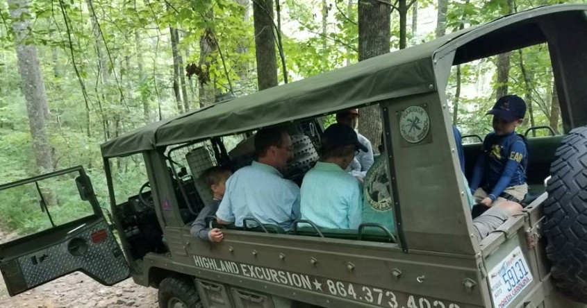
Culturally, Dry Falls sits within a network of small mountain towns that grew from logging, railroads, and later tourism. Highlands and Cashiers are the nearest hubs for overnight stays; they offer the kind of porch-sitting hospitality, craft shops, and regional cuisine that make a short waterfall stop into a multi-day mountain weekend. Local guides, such as Magnolia Heritage Tours, stitch places like Dry Falls into longer narratives — a guided Rainforests and Waterfalls tour pairs Dry Falls with neighboring cascades, quiet lakes, and mountain towns, giving context to the geology and local history while handling the driving and timing for you. Tour operators also know when winter conditions close roads and will adjust itineraries accordingly — a helpful detail in a place where a few inches of snow can change access.

Why plan for Dry Falls beyond the photo op? Because it’s a moment-sized walking experience with outsized rewards: minimal effort, maximum sensory return. The approach is short — a paved path with a few steps — making it a reliable morning or afternoon stop even for families or people who aren’t out to hike all day. The best time to go is early in the day or late afternoon when the parking area is quieter and the light across the falling sheet is more interesting for photographs. Midday, the lot can fill fast, especially during peak foliage in October.

Practical details matter here: the walk from the lot to the view platform and the behind-the-falls ledge is roughly a quarter-mile round trip with minimal elevation change, paved in places and stone steps in others. Wear grippy shoes — the boardwalk and stone get spray-slick. Carry a lightweight rain shell or a quick-dry towel if you plan to linger behind the falls; you’ll get a mist bath even if you stay technically dry. Bring water and a layer: mountain mornings can be cool even in summer.

If you’re building an itinerary, consider linking Dry Falls to other western North Carolina treasures. The Rainforests and Waterfalls of Western NC tour is a good one-day option that combines several falls, lakes, and mountain towns with interpretation from a private guide; in winter the operator notes they’ll pick alternate sites if roads are closed. For independent travelers, a loop that includes Cullasaja Falls and Bridal Veil Falls along with Dry Falls makes for a satisfying half-day of waterfall-hopping without long hikes.

Leave no trace is more than a slogan here. The pullout and short trail are fragile: stay on boardwalks, pack out wrappers, and keep a respectful distance from the river’s edge. Mountain streams are sensitive to trampling and sedimentation; small choices keep the views and the ecology intact for the next visitor.

At its best, a visit to Dry Falls is a compact lesson in the pleasures of accessible nature: no long approaches, no climbing ropes, just geology, water, and the particular hush that comes from standing beneath moving mass. It is a place to inhale mountain air, watch the mist lift, and feel the river’s work — steady, unhurried, and quietly insistive. Whether you stop for twenty minutes on a scenic drive or make it a waypoint on a curated tour through Western North Carolina, Dry Falls delivers a clear, tangible payoff: a natural stage where you can step behind the curtain and briefly become part of the landscape’s story.
Duration15–45 minutes
Plan your visit

Trail Wisdom

Timing matters

Visit early morning or late afternoon to avoid crowds and get the best light behind the falls.

Wear grippy footwear

The boardwalk and stone steps are spray-slick; shoes with good traction reduce slips.

Pack a lightweight layer

Mist from the falls cools the air — a windbreaker or quick-dry towel is useful even on warm days.

Respect the trail

Stay on designated paths and boardwalks to protect vegetation and avoid unstable riverbanks.

Local Knowledge

Hidden Gems

  • Bridal Veil Falls and Cullasaja Falls — nearby cascades within a short drive
  • Quieter roadside overlooks along US 64 for long-range mountain views

Wildlife

white-tailed deer, songbirds and seasonal warblers

Conservation Note

Stay on trails and pack out waste to protect stream banks and native vegetation; support local guides who practice Leave No Trace principles.

The falls and surrounding valley are part of the broader history of settlement and tourism in the southern Appalachians; roads opened in the early 20th century made waterfall viewing a popular regional pastime.

Seasonal Guide

spring

Best for:wildflower blooms, cooler hikes, fewer crowds
Challenges:muddy trails, higher flows after rains

Spring brings lush green growth and higher water flow — the falls are powerful but trails can be muddy after storms.

summer

Best for:warm evenings, lush canopy, family visits
Challenges:higher humidity, occasional heavy storms

Summers are verdant and warm; storms can develop quickly, so check forecasts and bring rain protection.

fall

Best for:peak foliage, photography, clear air
Challenges:crowds on weekends, limited parking

Autumn’s foliage is spectacular and draws visitors; plan for early arrival to secure parking.

winter

Best for:quiet visits, crisp light, icy contrasts
Challenges:icy steps, possible road closures

Winters are quiet and atmospheric but watch for ice on the trail and closure of mountain roads after snow.

Photographer's Notes

Use a wide-angle lens to include the surrounding rock and trees; shoot with a fast shutter to freeze the falling water or a slow shutter (0.5–1.0s) for a silky curtain — use a neutral density filter or shoot in low light to allow slower speeds. Position yourself behind the falls for a backlit mist shot at sunrise or sunset.

What to Bring

Trail shoes with grip

Essential

Good traction reduces slipping on wet boardwalks and stone steps.

Light rain shell

Essential

Protects against waterfall mist and unexpected mountain showers.

Compact camera or smartphone

Essential

Wide-angle capability helps capture the falls and the behind-the-water perspective.

○

Reusable water bottle

Staying hydrated is important even on short walks in the heat or humidity.

Common Questions

How long is the walk to the viewpoint and behind the falls?

The path from the parking area to the viewing platform and ledge behind the falls is short — roughly a 0.25-mile round trip with some steps and a paved section.

Is there parking and is it free?

There is a small pullout-style parking area adjacent to US 64; parking is free but spaces fill on busy days.

Can you walk behind the falls year-round?

Yes, you can usually walk behind the falls year-round, but icy conditions in winter can make the stone steps hazardous and some roads may be impassable after heavy snow.

Are dogs allowed?

Leashed dogs are typically allowed in the parking and viewing areas, but owners should avoid letting pets near the wet, slippery ledge for safety reasons.

Is the falls accessible for strollers or wheelchairs?

The short path includes steps and uneven surfaces; it is not fully wheelchair accessible to the behind-the-falls ledge, though viewing from the roadside is possible.

Can I swim at Dry Falls?

Swimming is not recommended — the plunge pool is shallow and the current in the Cullasaja River can be unpredictable; enjoy the view from the platform instead.

What to Pack

water bottle, grippy shoes, light rain shell, camera — for hydration, traction, mist protection, and photos

Did You Know

Dry Falls is named because its recessed ledge lets visitors walk behind the waterfall and often remain relatively dry; it sits on the Cullasaja River and is one of several accessible cascades along US 64 in Western North Carolina.

Quick Travel Tips

Arrive early in peak season to find parking; wear shoes with traction; combine the stop with nearby Bridal Veil and Cullasaja Falls; check winter road conditions before traveling.

Local Flavor

Highlands and Cashiers offer Appalachian comfort food, trout-centric menus, craft breweries, and artisans selling woven goods — pair a morning at the falls with a slow lunch and local live music in the evening.

Logistics Snapshot

Location: Dry Falls (Cullasaja River) off US 64; Parking: small free lot; Trail length: ~0.25-mile round trip; Accessibility: short stairs and boardwalks; Best time: early morning/late afternoon; Fees: none.

Sustainability Note

Use established parking and trails, avoid trampling banks, pack out all trash, and consider a guided tour to reduce individual car trips and support local conservation-minded businesses.

Topics