Cherokee Foothills Scenic Highway wilderness guide
Scenic Highway · SC
Photography Guide

Cherokee Foothills Scenic Highway

Set against the wild, whispering landscapes of South Carolina, the Cherokee Foothills Scenic Highway is more than a roadway—it's a sensory odyssey that calls explorers and photographers alike to em...

Scenic HighwayN/A4+ Trails

Designation

Scenic Highway

Total Wilderness Area

N/A

Elevation / Terrain

Diverse Wilderness

Field Editorial Guide

About Cherokee Foothills Scenic Highway

The Cherokee Foothills Scenic Highway, known as SC Highway 11, offers breathtaking views as it winds through the Blue Ridge Mountains' foothills, featuring captivating landscapes and numerous outdoor recreation opportunities.

Wilderness Landscape & Natural Heritage

The Cherokee Foothills Scenic Highway extends for 112 miles through the picturesque landscapes of the South Carolina upstate. This scenic byway traces a historic route once used by Cherokee Indians and early settlers. As it meanders along the foothills of the Blue Ridge Mountains, travelers are treated to lush forests, rolling hills, and a series of waterfalls. The region is rich in biodiversity, home to diverse flora and fauna, including migratory birds and native plant species. Several state parks and natural reserves are accessible along the highway, offering ample opportunities for hiking, fishing, picnicking, and camping. Notable parks include Table Rock State Park, featuring the iconic granite dome of Table Rock Mountain, and Jones Gap State Park, known for its waterfalls and challenging trails. The highway is also marked by historical landmarks, providing insight into the area's cultural heritage. Its combination of natural beauty and historical significance makes the Cherokee Foothills Scenic Highway a must-visit destination for outdoor enthusiasts and history buffs alike.

Field Guide · Scenic Highway
Adventure Destinations

Notable Destinations Near Cherokee Foothills Scenic Highway

Scenic viewpoints, outdoor landmarks, and notable points of interest within 60 miles.

Key Wilderness Highlights

Table Rock Mountain and State ParkJones Gap State Park and its waterfallsThe scenic overlook at Caesars HeadPeachoid, the giant peach-shaped water tower in Gaffney
Wilderness Recreation

Outdoor Adventures in Cherokee Foothills Scenic Highway

Explore curated guides for top outdoor sports, trail networks, and wilderness activities.

Activity Field GuideCherokee Foothills Scenic Highway

Photography in Cherokee Foothills Scenic Highway

Exploring the Cherokee Foothills: A Scenic Symphony for the Adventurous Photographer

Set against the wild, whispering landscapes of South Carolina, the Cherokee Foothills Scenic Highway is more than a roadway—it's a sensory odyssey that calls explorers and photographers alike to embark on a journey through time and nature. As you steer along these ancient passageways, the highway unrolls itself before you like a hidden scroll of adventure and mystery, inviting you to capture its essence with each click of your camera.

As the wheels of your vehicle tap a rhythmic dance on the asphalt, the air becomes a complex weave of earthy aromas: pine resin mingles with the fresh notes of blooming wildflowers, crafting a fragrant symphony that warns of the forthcoming adventure. The Foothills, ancient guardians of secrets and stories untold, rise to your left and right, their rugged profiles etched into the horizon like sentinels of a forgotten world. At dawn, when the sun crests these towering formations, its golden arms stretch across a landscape shrouded in mist, creating dramatic scenes where shadows and light waltz together—a paradise for photography enthusiasts thirsty for the perfect shot.

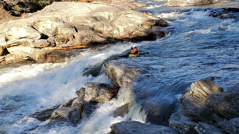
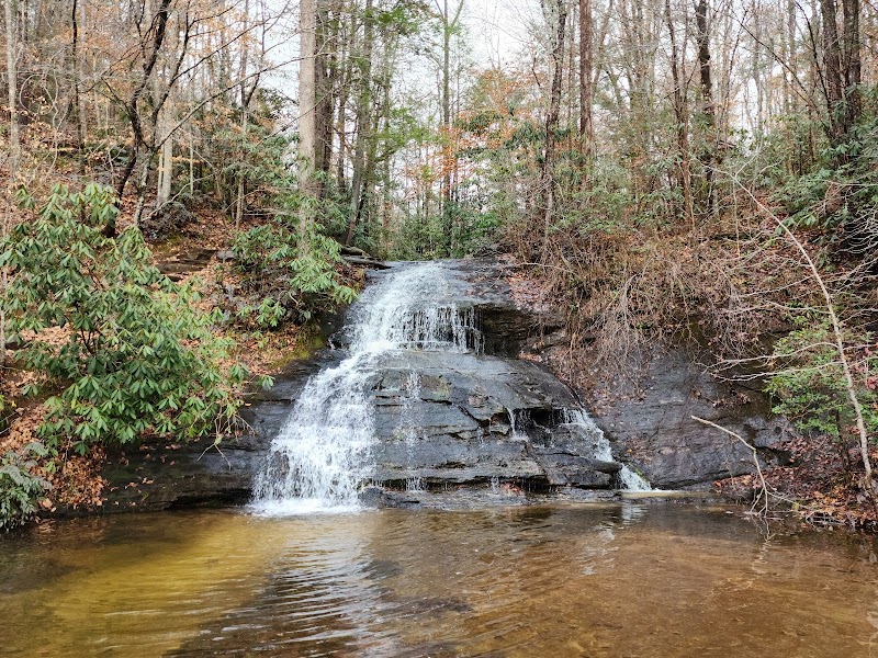
Within the folds of these rugged mountains lie stories etched in stone and paths less traveled, leading to hidden waterfalls and mysterious rock formations. These natural wonders draw the lenses of your camera as if calling, "Seek me out." Capture the transient life in motion—the streams daring you to dive into their icy waters, the rustle of leaves as inquisitive deer tread lightly on their journey, and the melodious calls of native birds echoing through the trees. The interplay of elements crafts a narrative ripe for exploration and documentation—an invitation to witness the world in its purest form.

Yet, this pilgrimage demands both reverence and preparation. The highway stretches over 130 miles, winding through lush forests and passing by state parks like Table Rock and Caesars Head, each offering opportunities to stray off the beaten path. As you plan your photographic sojourn, make space in your itinerary for these magic-infused locales. Prepare wisely: robust hiking boots, a map marked with photography spots, and a pack filled with essentials like water and lightweight tripod gear will be your best allies. The biodiversity here can be fickle, the weather unpredictable; layers are your safeguard against the whims of nature's temperament.

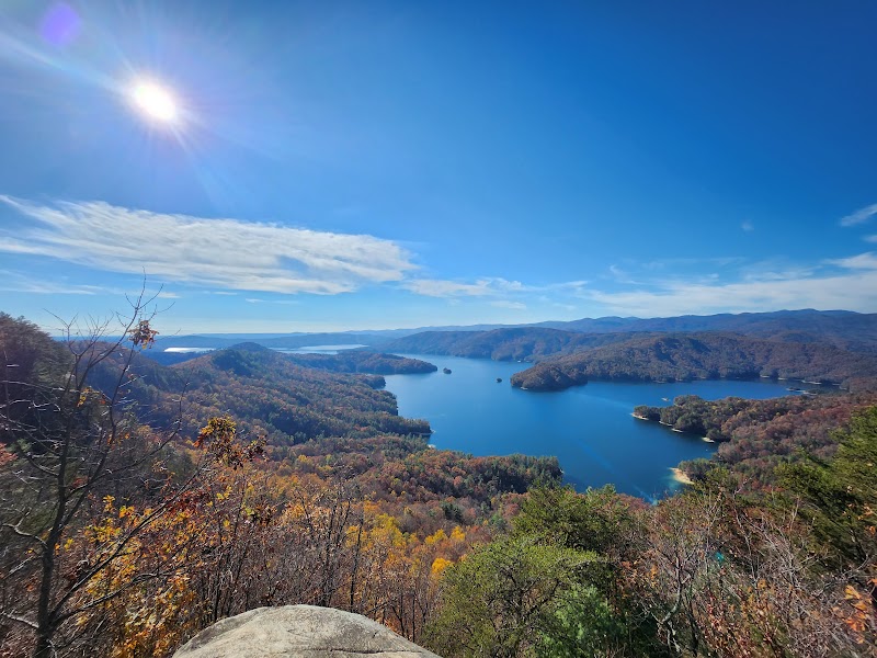
As you reach the lookout points, take a moment to breathe deeply and let the panorama of rolling hills, sapphire skies, and verdant valleys seep into your consciousness. The view isn't just seen but felt—each frame tells a story of geological tensions and time-weathered perseverance. And as you unpack your camera to immortalize this mosaic, remember that every angle, every play of light, is a brushstroke on the vast canvas of this ancient land.

Whether you're a seasoned adventurer or a photographer newly drawn to the call of narrative within nature, the Cherokee Foothills Scenic Highway awaits as both muse and mentor. It's a journey in which each mile promises new landscapes and vistas that challenge your skills and invigorate your creative spirit. As the highway guides you through its heartfelt embrace, you will find that the true allure lies not only in the photographs captured but in the stories and memories created along the way. In this land where history and nature coalesce, every click of your shutter becomes a bridge between the rugged past and the vibrant present—an everlasting adventure ready to be told.
Other Available Activity Guides in Cherokee Foothills Scenic Highway:
The Ranger Station

Visitor Logistics & Essential Planning

Everything you need to know about entrance passes, seasons, visitor centers, road transit, and wildlife safety in Cherokee Foothills Scenic Highway.

Passes & Fees

Entrance Requirements & Interagency Passes

No entrance fees are required for the highway itself; park entrance fees may apply.

Wilderness Checklist

Carry paper topographic map & compass in remote zones.
Store all food and scented items in approved bear canisters.
Check wildfire / smoke advisories before backcountry departure.
Pack out everything you pack in (Leave No Trace).
Wilderness Stays

Camping & Overnight Stays in Cherokee Foothills Scenic Highway

Frontcountry developed campgrounds, backcountry wilderness permit guidelines, and starry-night camping advice.

Table Rock State Park Campground

Located within the park, offering easy access to trails and Table Rock Mountain.

Adventure Basecamps

Gateway Towns Near Cherokee Foothills Scenic Highway

Stay, dine, and gear up in these mountain towns and scenic basecamps surrounding the park.

Cleveland, South Carolina
3.62 miles
Gateway Basecamp

Cleveland, South Carolina

Cleveland, SC offers a charming escape for outdoor enthusiasts with its rugged parks and hidden landscapes. Ideal for hiking and climbing, this area is a gem in South Carolina's wilderness.

Marietta, South Carolina
4.16 miles
Gateway Basecamp

Marietta, South Carolina

Marietta, SC is a haven for outdoor enthusiasts, offering excellent hiking, biking, and paddling in serene mountain settings. Explore protected areas like Jones Gap and Table Rock for rich biodiversity and stunning landscapes.

Spring and Fall
Explore Town
Slater, South Carolina
4.39 miles
Gateway Basecamp

Slater, South Carolina

Slater, SC is a quiet town close to Santee State Park and Francis Marion National Forest. Outdoor lovers can hike, fish, kayak, and birdwatch in peaceful natural settings, making it a low-key basecamp for exploring eastern South Carolina’s woods and lakes.

Spring through Fall
Explore Town
Cedar Mountain, North Carolina
8.89 miles
Gateway Basecamp

Cedar Mountain, North Carolina

Discover Cedar Mountain, NC, where beautiful hikes, majestic waterfalls, and thrilling bike trails await. Experience the serenity and adventure of the Blue Ridge Mountains.

Spring to Fall
Explore Town
Travelers Rest, South Carolina
9.00 miles
Gateway Basecamp

Travelers Rest, South Carolina

Travelers Rest is an inviting hub for outdoor adventures in South Carolina, ideal for cycling, hiking, and paddling. The Swamp Rabbit Trail is a highlight, appealing to both casual and dedicated cyclists.

Spring and Fall
Explore Town
Pickens, South Carolina
13.07 miles
Gateway Basecamp

Pickens, South Carolina

Pickens, SC, offers an escape to the Appalachian Foothills where adventure seekers can enjoy hiking, fishing, and climbing. With stunning parks and trails, it's a nature lover's haven.

Spring and Fall
Explore Town
Expert-Led Wilderness Expeditions

Guided Experiences in Cherokee Foothills Scenic Highway

Explore scenic backcountry routes and epic wilderness adventures with certified local mountain guides, naturalists, and outfitters.

Moonlit Drift: A Two-Night Lunar Paddle at Saluda Lake Landing
ADVEXPEDITION
Greenville, South Carolina
KayakADV Bookable

Moonlit Drift: A Two-Night Lunar Paddle at Saluda Lake Landing

A guided evening program of self‑guided paddling, glow gear, lakeside s'mores and drinks on Saluda Lake—this guide explains what to expect and how to prepare for the June Lunar Paddle.

KayakPT2HCertified Outfitter
Bookable OnlineBook Trip